
 Hiking
 Login
Login
 More
More
 EN
EN
 Premium
🏰Crupet Walk🏰
automatic translation
11.9 km • Assesse
5.32613 0 0/5

 Addresse starting point (approximate)
Rue Basse 10, 5332 Crupet, BE
 signage
The route is not signposted. Use a GPS device or our app to follow the route through the virtual nodes.
 Description
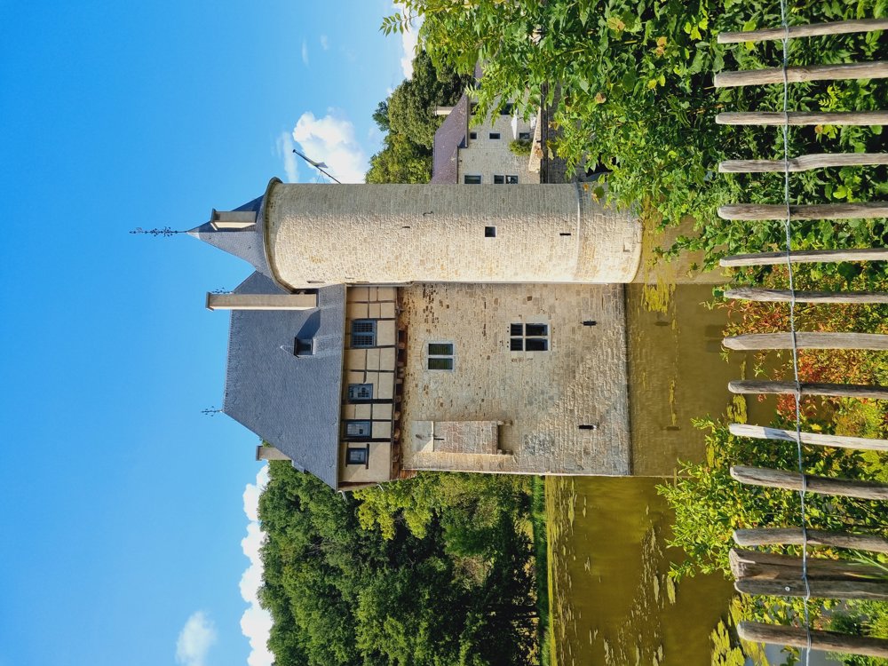
Crupet, declared one of the most beautiful villages in Wallonia.
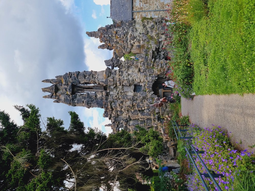
The castle is very charming, but apart from that and the grotto (close to the parking lot), there is little to see. I'm honest about that.
Now, I came for walking, and that was definitely worth it.
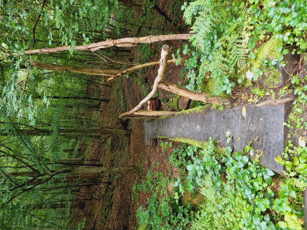
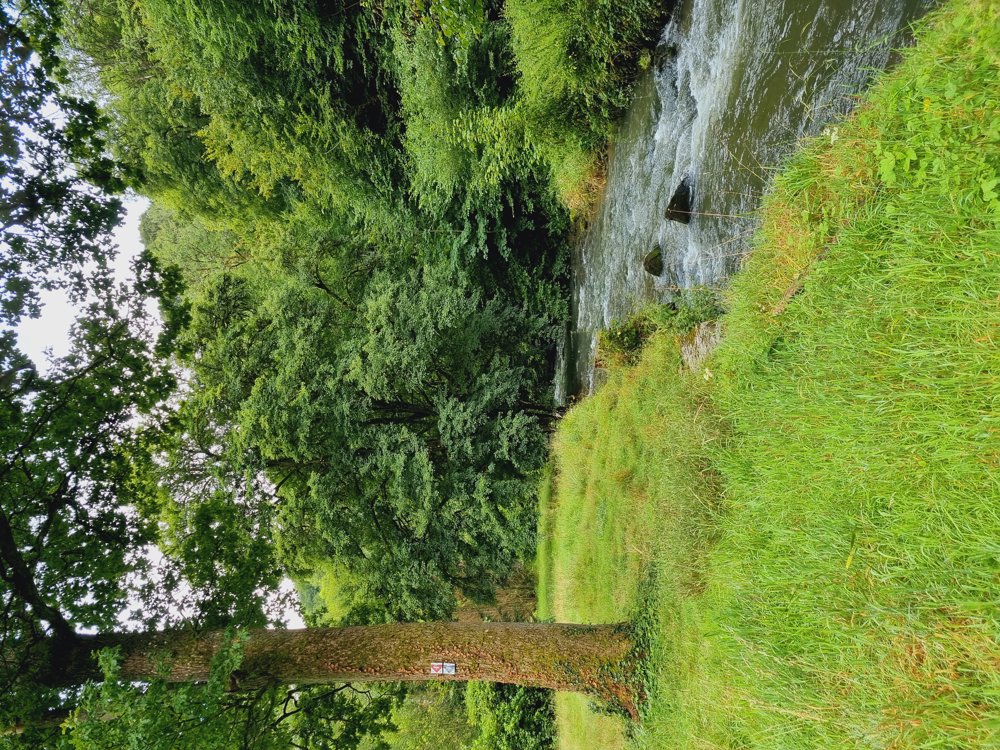
A lot of variety: forest, village, railway bridges, little rivers, ... it made me happy.
Make sure to look at the view over the castle from the parking lot.
Route with virtual junctions (No signposting!) Use of gpx is necessary or via the walking node app.
Have fun
12 km
My rating: 8/10
Few benches
Dogs allowed, on leash
Not buggy-proof
Bar hotel Le Moulin des Ramiers
Lunch provided (Shelter/lunch after 7 km)
Start and parking:
Rue Haute (right next to no. 8, Restaurant Le Pachis), Assesse (Province of Namur)
automatic translation
 nodes to follow
0 km
0.5 km
0.6 km
0.7 km
1 km
3.9 km
4.6 km
4.6 km
5.9 km
6.7 km
7.7 km
9.7 km
10.4 km
11.4 km
11.5 km
11.9 km



 Upgrade to Premium Plus


