Loading...

Roosendaelpad

automatic translation

10 km • 2860 Sint-Katelijne-Waver

4.6577 0 0/5

10 km 0.0 km 0.0 km

route offered by

Toerisme Provincie Antwerpen

Icon starting point Addresse starting point (approximate)

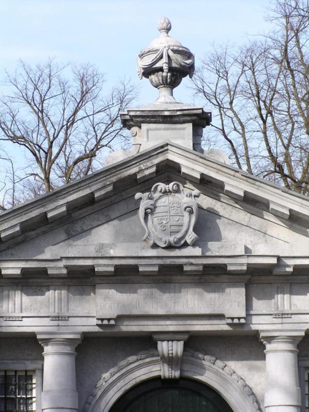
Sint-Michielskasteel, Groenstraat 9

Icon type signage of route signage

The route is fully signposted with nodes.

5m 5m 5m 5m
© Toerisme Sint-Katelijne-Waver

Icon description route Description

The Roosendael trail is a 10 km walk along unpaved footpaths and quiet streets. The walk is mainly centered on Domein Roosendael, a former abbey site, but also takes you to the Sint-Michiels Castle and beautiful pieces of nature such as the old railroad embankment and the Netedijk.

automatic translation

Icon nodes to follow nodes to follow

Icon start route
0 km
Image node 229
0.3 km
Image node 181
0.7 km
Image node 252
1.7 km
Image node 232
1.9 km
Image node 231
2.4 km
Image node 330
2.7 km
Image node 333
3 km
Image node 227
3.6 km
Image node 177
4.1 km
Image node 221
5 km
Image node 171
5.2 km
Image node 170
5.4 km
Image node 170
5.4 km
Image node 170
5.5 km
Image node 178
6.4 km
Image node 180
6.9 km
Image node 253
7 km
Image node 248
8.2 km
Image node 255
8.6 km
Image node 181
8.9 km
Image node 229
9.4 km
Image node 294
9.5 km
Icon stop route
9.8 km
This route does not have any reviews yet. Be the first!
Rate route!

Which POI do you want to show on the map?

Experimental hiking network
Unsigned icon

The route you have chosen runs (partly) along an experimental virtual hiking node network (the blue-coloured nodes and sections on the map).

You must be logged in to plan routes here.

Experimental hiking network
Unsigned icon

The route you have chosen runs (partly) along an experimental virtual hiking node network (the blue-coloured nodes and sections on the map).

These routes are not controlled in the field. Before you start hiking here, take a minute to read what an experimental hiking node network is and what rules you should follow when hiking here.