 Hiking
 Login
Login
 More
More
 EN
EN
 Premium
Waverwoudpad
automatic translation
18.7 km • 2860 Sint-Katelijne-Waver
3.6816 0 0/5
route offered by
Toerisme Provincie Antwerpen
 Addresse starting point (approximate)
Gemeentehuis Lemanstraat 63
 signage
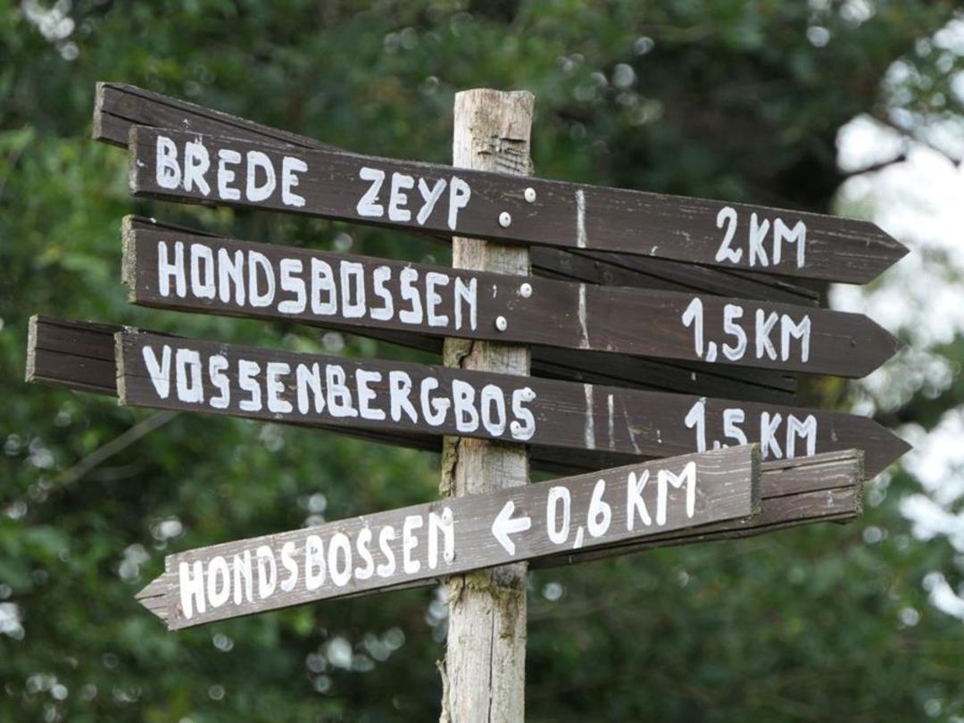
The route is fully signposted with thematic signs (no nodes).
 Description
The beautiful Waverwoud forest... In the early Middle Ages, a wild area with dense forests, inaccessible marshes and open heathlands; today, a few scattered forest fragments and heathland that, thanks to adapted management, is reappearing in the few open plots. The Waverwoudpad lets you discover the unique spots in the Hondsbossen, Gasthuisbossen, Brede Zeyp and the Vossenbergbos along a 17.8 km route. Enjoy peace and quiet, who knows, you might spot a tawny owl or a roe deer might cross your path and be surprised by the beauty that the Waverwoud has to offer as a nature reserve.
automatic translation


 Upgrade to Premium Plus
