 Hiking
 Login
Login
 More
More
 EN
EN
 Premium
Westerlo: Pearl of the Kempen
automatic translation
11 km • Westerlo
3.2793 0 0/5

 Addresse starting point (approximate)
Kasteelpark, 2260 Westerlo, BE
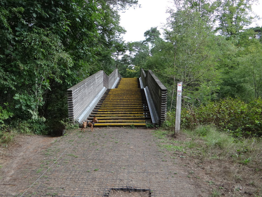
 signage
The route is fully signposted with nodes.
 Description
We took this pearl walk on 04/08/2025 (13,796 steps).
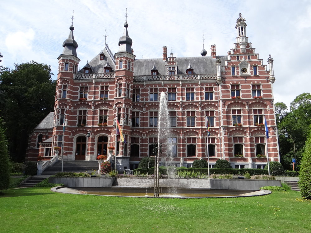
You can park in the Beeltjensdreef near node 20. A tunnel takes you under the Merodedreef, after which you walk through the center of Westerlo.
On the Grote Markt, there is a war monument commemorating the fallen soldiers of the First World War (1914-1918) and possibly also the Second World War (given the years 1940 and 1945). In the middle of the square stands the Count Henri de Merode monument. There is also a beautiful market linden tree to see. The market linden was planted around 1630. The old tree has been supported by a wooden frame since 1716. In 1872, the Herentals cast iron artist Van Aerschot made an iron support for it.
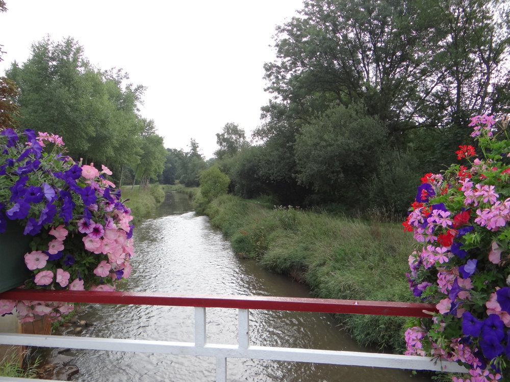
The route runs along the Grote Nete for a considerable time before continuing to the star where the long straight castle avenues converge at this point.
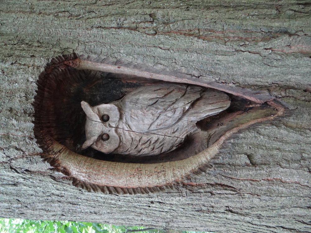
More photos: https://photos.app.goo.gl/HmzwPhYqH3wYJqQf9
Happy walking,
Eddy, Rita, and Prinske
automatic translation
 nodes to follow
0 km
0.7 km
1.2 km
1.4 km
1.4 km
2.7 km
4.6 km
4.9 km
4.9 km
5.9 km
6.6 km
6.9 km
7.1 km
7.6 km
8.1 km
9.1 km
9.4 km
9.9 km
10.2 km
10.2 km
11 km


 Upgrade to Premium Plus
