 Hiking
 Login
Login
 More
More
 EN
EN
 Premium
A border case. From Belgium to the Netherlands and back
automatic translation
33.1 km • Voeren
4.8426 0 0/5

 Addresse starting point (approximate)
Roodbos 3, 3791 Remersdaal - Rémersdael, BE
 signage
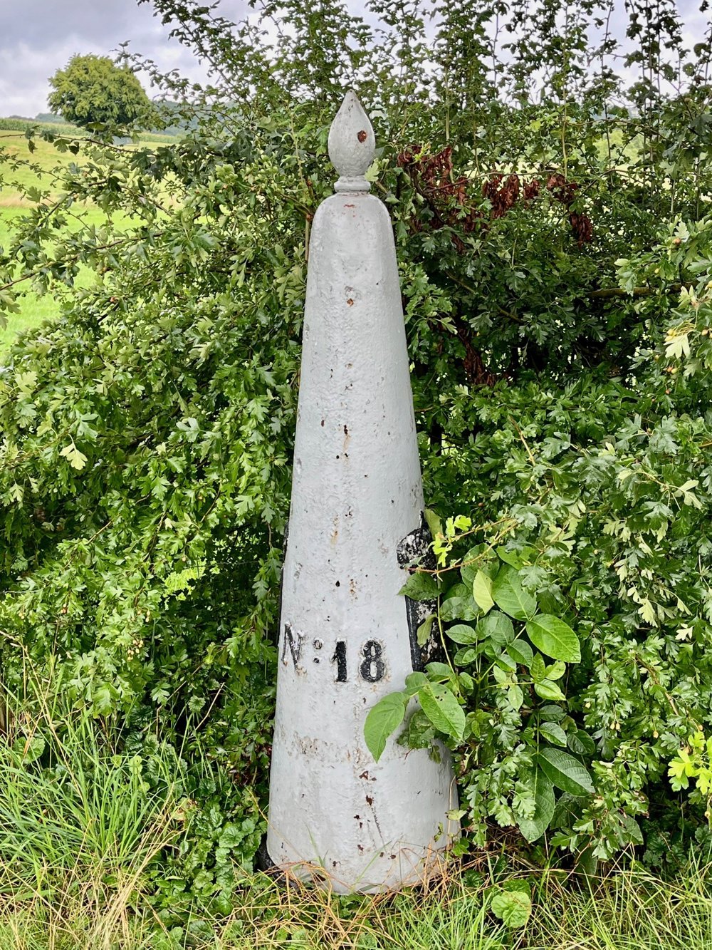
The route is fully signposted with nodes.
 Description
Departure from Camping Natuurlijk Limburg in Remersdaal. You enter the junction network directly from the campsite.
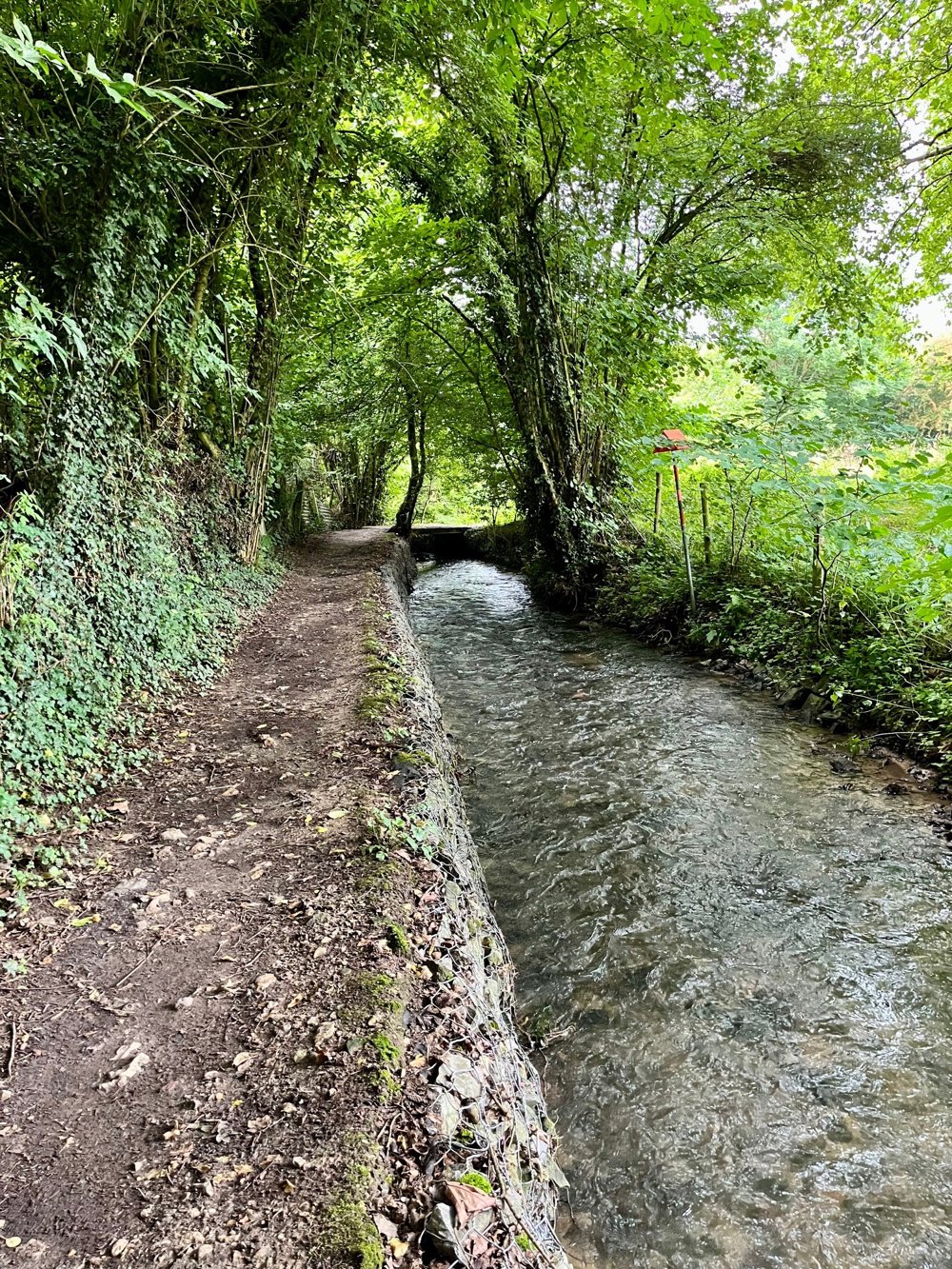
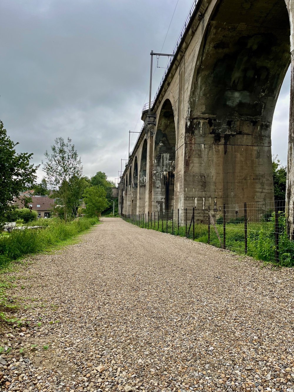
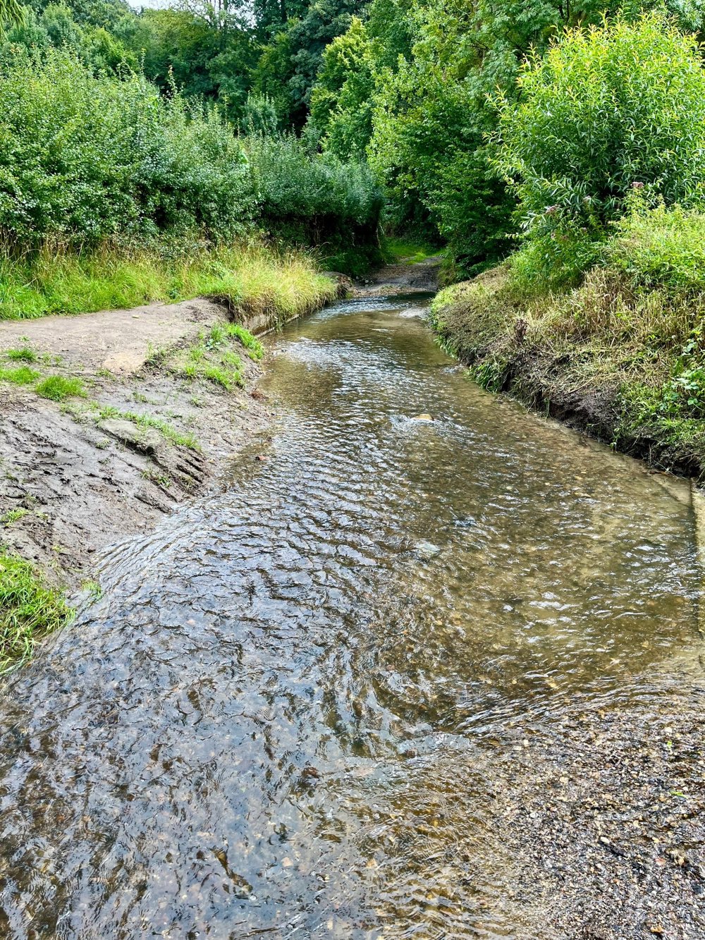
Prepare yourself for stunning views and steep slopes that make the calves work and, when descending, make the thighs feel the strain. On some of these singletrack slopes, dotted with pebbles, a lot of water flows down during rainy periods. Sturdy, possibly waterproof shoes with thick soles are highly recommended. This journey is a mix of forests and open fields.
Halfway through this walk, you pass by Camping Grensheuvel in Noorbeek, where you can have something to eat or drink. Apart from this, I would recommend bringing enough food and drink for the journey. At the end of the walk, you can also enjoy a nice meal and a drink at Taverne Haciënda.
automatic translation
 nodes to follow
0 km
1 km
3.2 km
3.6 km
3.8 km
5.1 km
6.8 km
7.1 km
7.1 km
7.4 km
7.7 km
9.3 km
9.7 km
11.1 km
11.3 km
11.7 km
12 km
12.5 km
12.8 km
13.8 km
14.6 km
16.1 km
17.3 km
17.7 km
18.9 km
20.4 km
21.1 km
22 km
22.1 km
23.6 km
24.3 km
24.8 km
25.2 km
25.8 km
27 km
27.6 km
28.1 km
30.1 km
31.2 km
32.1 km
33.1 km


 Upgrade to Premium Plus
