 Hiking
 Login
Login
 More
More
 EN
EN
 Premium
Across the Language Border
automatic translation
31.3 km • Voeren
3.8423 0 0/5

 Addresse starting point (approximate)
Roodbos 3, 3791 Remersdaal - Rémersdael, BE
 signage
The route is partially signposted with nodes. Use a GPS device or our app to follow the route through virtual nodes.
 Description
Departure from Camping Natuurlijk Limburg in Remersdaal. You directly access the node network from the campsite.
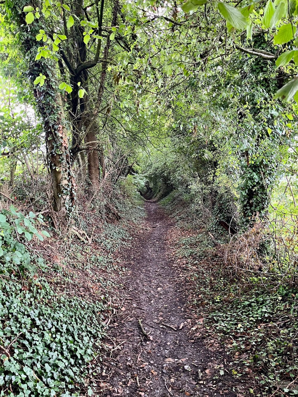
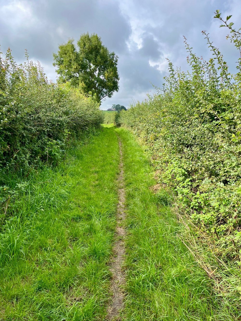
Prepare yourself for stunning views and steep hills that make the calves work and during the descent make the thighs feel the burn. On some of these singletrack hills, strewn with pebbles, a lot of water comes down in rainy periods. Sturdy, possibly waterproof shoes with a thick sole are definitely recommended. This journey is a mix of forests and open fields.
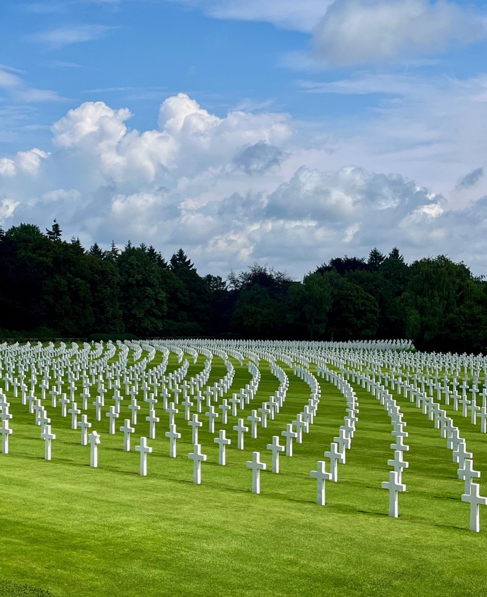
You pass by the American military cemetery of Henri-Chapelle, where 7987 fallen soldiers from the last battle against the Germans in 1944 are buried.
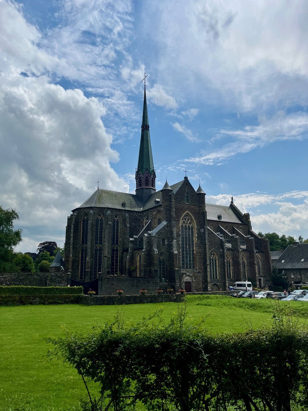
The Abbey of Val-Dieu is also on the route. There you can visit the gardens for free and enjoy an abbey beer brewed on site. There are also opportunities for eating or drinking when passing through Aubel.
automatic translation
 nodes to follow
0 km
1 km
2 km
3.7 km
5.2 km
7.5 km
9.1 km
9.1 km
10.5 km
11.3 km
11.8 km
12.8 km
13.4 km
14 km
14.4 km
15.6 km
15.9 km
17.5 km
18 km
18.5 km
20 km
20.2 km
21.7 km
23.6 km
24.7 km
25 km
25.1 km
28 km
28 km
31.3 km


 Upgrade to Premium Plus
