 Hiking
 Login
Login More
More EN
EN Premium
Thick Beech Walk
automatic translation
12.9 km • Oud-Heverlee
 official route
route offered by
 Addresse starting point (approximate)
Stationsstraat Sint-Joris-Weert, 3051 Oud-Heverlee
 signage
The route is fully signposted with nodes.
 Description
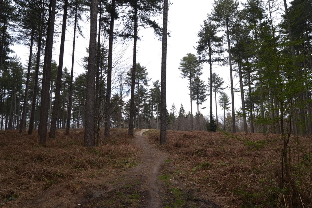
A beautiful forest walk on small paths, stately forest drives and hollow forest roads. Pass the vines of Chardonnay Meerdael, take a breather at the gazebo on top of the Tomberg and take a break at the romantic Warande pond or Ad's ink mushrooms at the Hercules salon.
This walk is offered by Tourism Flemish Brabant.
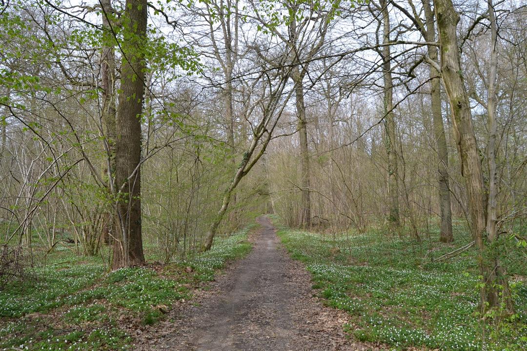
TIP: During spring, enjoy the wood anemone splendor south of Walendreef.
automatic translation
 nodes to follow
0 km
1 km
1.3 km
2.6 km
3.5 km
3.8 km
4.2 km
5.4 km
6.5 km
8.8 km
9.7 km
10.8 km
12 km
12.6 km
12.7 km
12.9 km
Friday, December 29, 2023 by Els Eelenvery nice route through the woods, there is a large parking lot at starting point De Speelberg Weertsedreef 25 Sint-Joris-Weert (Oud-Heverlee)
automatic translation
Friday, April 2, 2021 by Patrick SegersWonderful walk. Enjoyed the peace, nature, the singing birds. Highly recommended.
automatic translation
Sunday, October 25, 2020 by F.V.Very beautiful forest walk
automatic translation
Sunday, April 19, 2020 by I.C.Nice walk, most of which went through the Meerdaal forest. Here and there a calf-biter, but definitely worthwhile.
Do watch out for the mountain bikers.
automatic translation


 Upgrade to Premium Plus
