
 Hiking
 Login
Login
 More
More
 EN
EN
 Premium
Kemzeke - Clinge Forests and Stropersbos
automatic translation
13.8 km • Stekene
3.5205 1 4/5

 Addresse starting point (approximate)
Koestraat 10, 9190 Stekene, BE
 signage
The route is partially signposted with nodes. Use a GPS device or our app to follow the route.
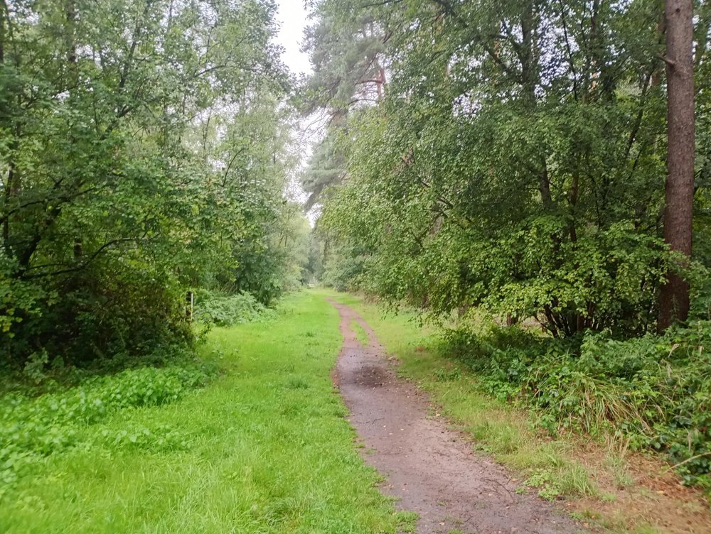
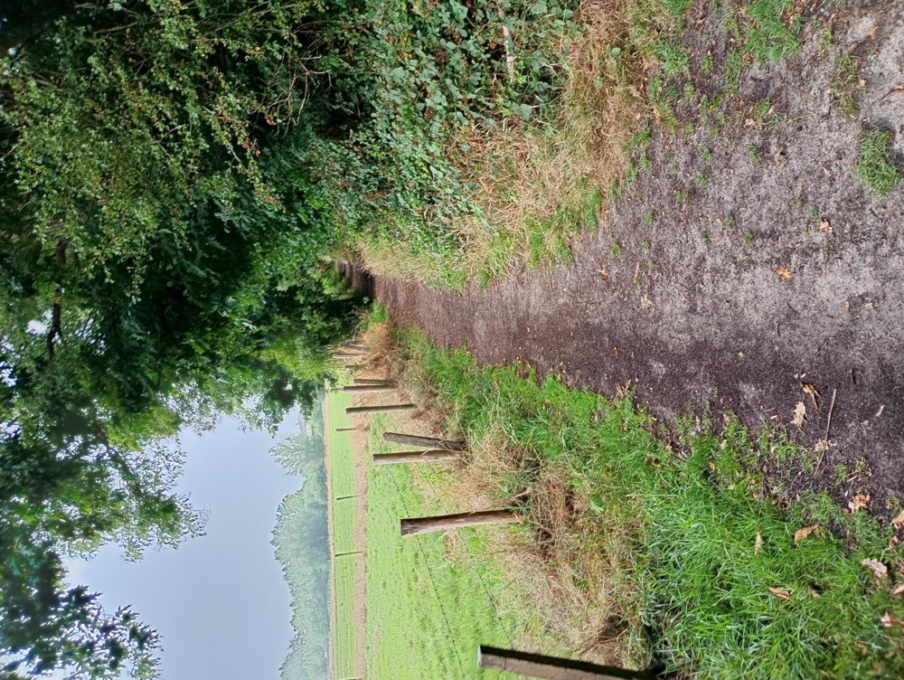
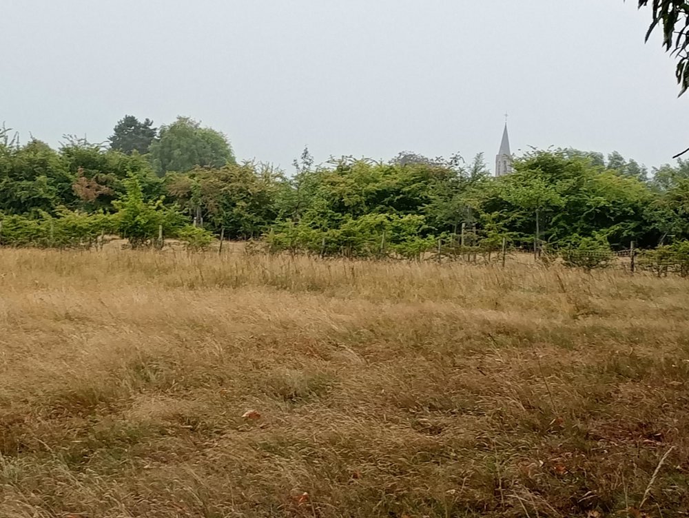
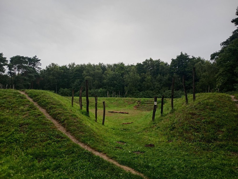
 Description
Departure: parking behind brasserie and playground Woud - Koestraat 10 - Stekene
Forest walk, mostly unpaved.
The Stropersbos is managed by Natuurpunt. It is crisscrossed by ramparts and ditches, laid out during the French and Spanish occupations. Konik horses can be found there. Gentle animals and therefore ideal grazers in nature reserves.
Sanitary stop possible, approximately halfway in the village of De Klinge, between junctions 78 and 79.
automatic translation
 nodes to follow
0 km
0.6 km
1.1 km
2.3 km
3.1 km
4 km
4.1 km
4.1 km
4.7 km
4.8 km
5 km

5.9 km
6.1 km
6.9 km
7.6 km
8.8 km
9 km
9.5 km
10.5 km
11 km
11.8 km
12 km
13 km

13.8 km
Monday, August 24, 2026 by Laure HautekeeteA very beautiful route with a lot of variety in the scenery. We walked it with our dog. There was one section where dogs weren't allowed, but we were able to easily bypass it via another trail, so it wasn't a problem. A very nice and peaceful route.
automatic translation



 Upgrade to Premium Plus


