 Hiking
 Login
Login
 More
More
 EN
EN
 Premium
Vlassenbroek hiking trail
automatic translation
20.3 km • Dendermonde
 official route
5.28314 1 4/5
 Addresse starting point (approximate)
Vlassenbroek 39, Dendermonde
 signage
The route is fully signposted with nodes.
 Description
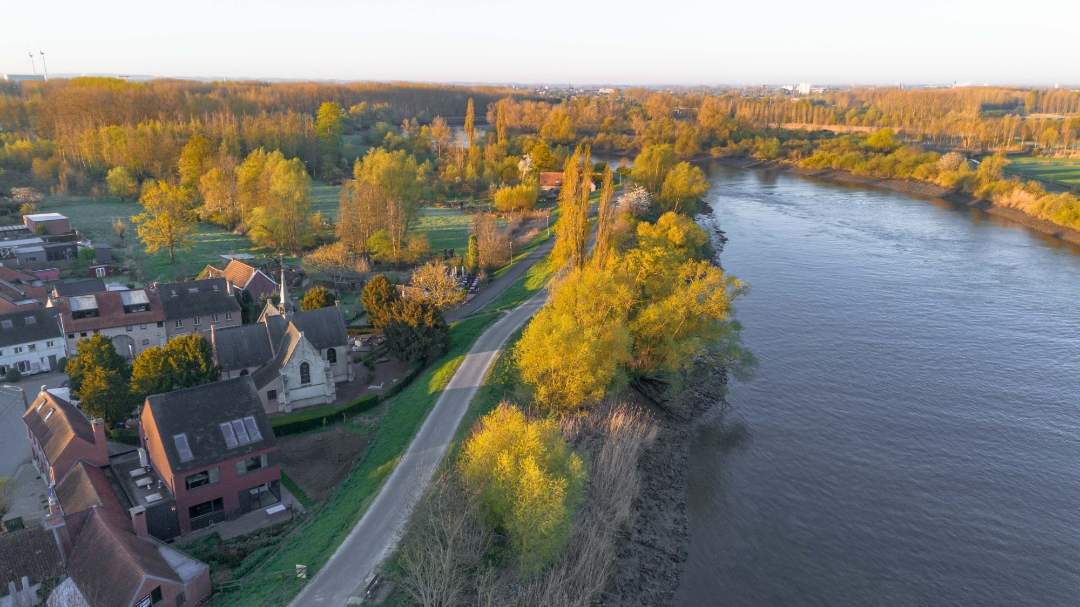
That patience is rewarded is proven by our Vlassenbroek hiking trail. It takes you along a beautiful Scheldt area where fauna and flora are reviving thanks to the Sigmaplan. Walk 22 kilometers through a young, unique tidal nature, and reward yourself afterwards in the picturesque Scheldt village.
automatic translation
 nodes to follow
0 km
2.8 km
4 km
4.5 km
6.5 km
6.7 km
8.5 km
9.3 km
10.3 km
10.6 km
10.8 km
11.1 km
12.9 km
13.6 km
14.2 km
14.4 km
15.3 km
18.4 km
18.4 km
19.4 km
20.2 km
20.2 km
Sunday, August 24, 2025 by C.P.Beautiful views, quiet walk...sometimes a bit monotonous due to the long paths through the raised embankment. Currently no passage from node 152 to 149 (+- 2.2km); so we went directly to node 150....let this be one of the most beautiful detours of the whole trail! Highly recommended 23.08.2025
automatic translation
Saturday, July 18, 2026 by Y.W.20 km is a bit far for an occasional walk.
automatic translation


 Upgrade to Premium Plus
