 Hiking
 Login
Login More
More EN
EN Premium
Vossekouter walk
automatic translation
7.4 km • Huldenberg
 official route
7110 2 2.5/5
route offered by
 Addresse starting point (approximate)
Gemeenteplein, 3040 Huldenberg
 signage
The route is fully signposted with nodes.
 Description
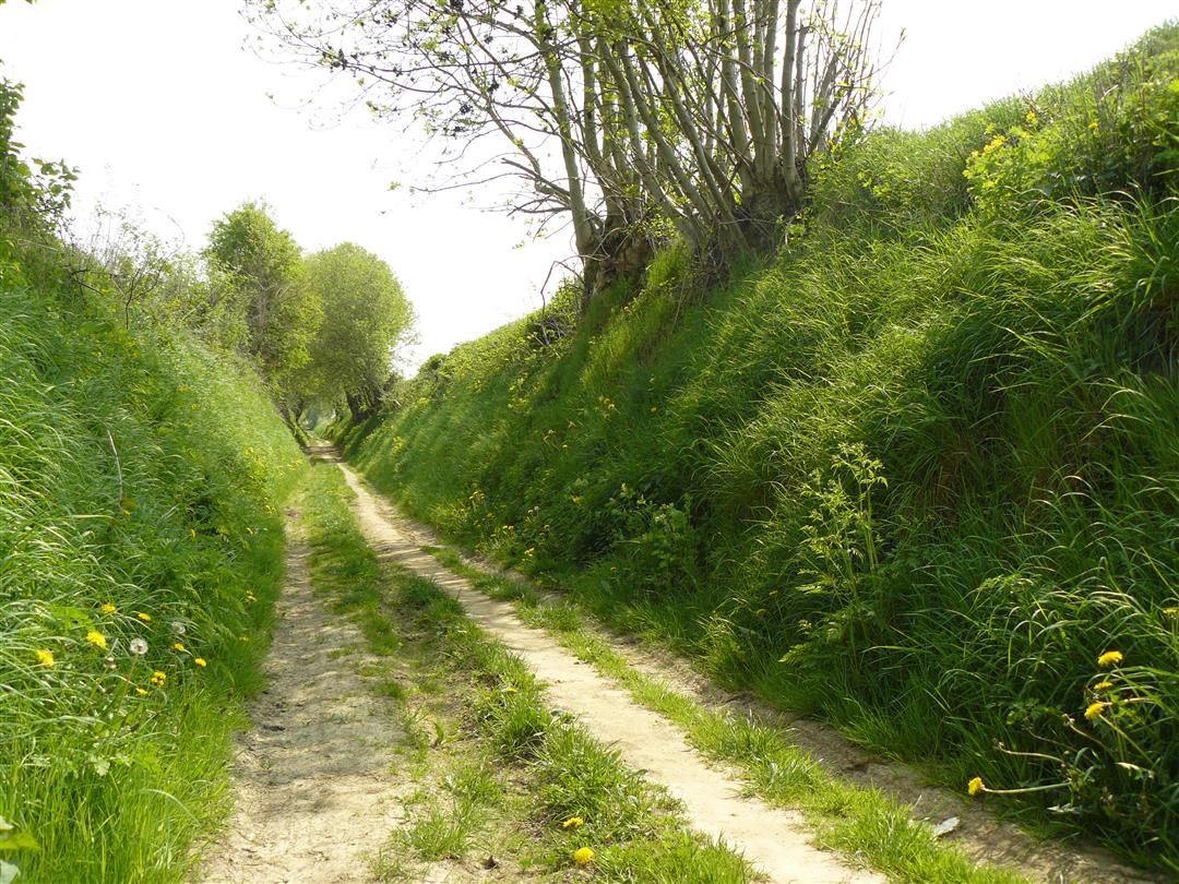
Hollow roads are typical of this part of Flemish Brabant. A hollow roads hike was therefore not to be missed as an introduction to the South Dijleland hiking network. Most of the hollow paths are situated on the flanks of the valleys. In this case it is the valley of the river IJse. The hollow ways you pass through along this trail are very different in atmosphere and views. All three are impressive pieces of natural beauty in their own way. Old field paths take you further to even more beauty on the Vossekouter, a beautiful and now protected landscape.
This hike is offered by Tourism Flemish Brabant.
automatic translation
 nodes to follow
0 km
0.2 km
0.4 km
1.1 km
1.7 km
2.9 km
2.9 km
3.5 km
4.7 km
4.8 km
5.6 km
6.5 km
6.9 km
7.1 km
7.3 km
Sunday, November 5, 2023 by G.M.Absolutely not a pleasant walk.... along the road, ugly neighborhoods, little sense of nature. Really a turn-off for me.
automatic translation
Wednesday, September 9, 2020 by K.R.Beautiful and relaxing walk, ideal for getting outside for an hour or two. Most parts along meadows, through the forest and fields, however, also some parts along the road. Fortunately, not too many cars pass along these stretches.
automatic translation


 Upgrade to Premium Plus
