 Hiking
 Login
Login
 More
More
 EN
EN
 Premium
Waulsort (Hastière)
automatic translation
13.7 km • Hastière
3.9865 3 3.7/5

 Addresse starting point (approximate)
Rue de la Gare, 5540 Waulsort, BE
 signage
The route is not signposted. Use a GPS device or our app to follow the route.
 Description
Departure: parking rue de la Gare - Waulsort
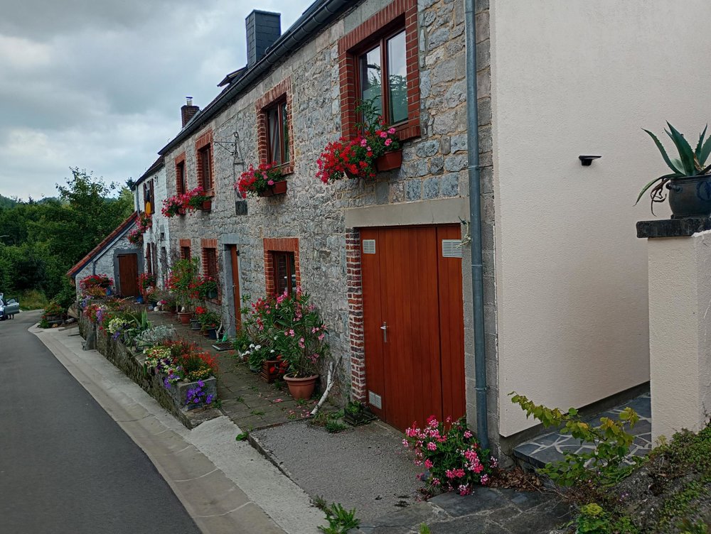
We start by crossing the river with the ferry and then climb steeply up to Falmignoul, a small but charming village.
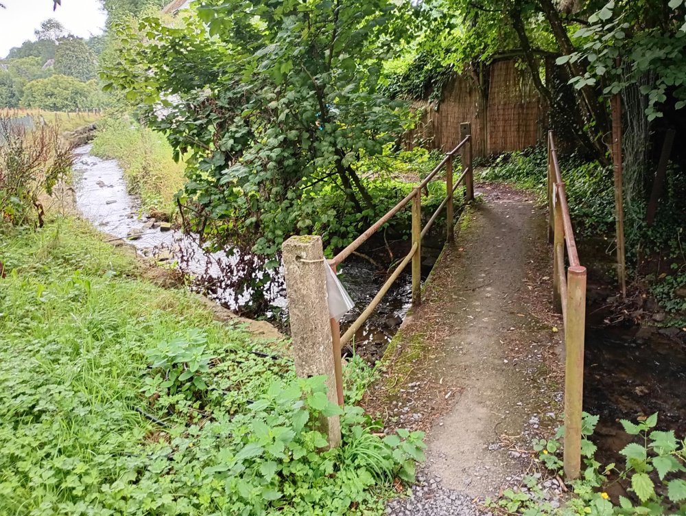
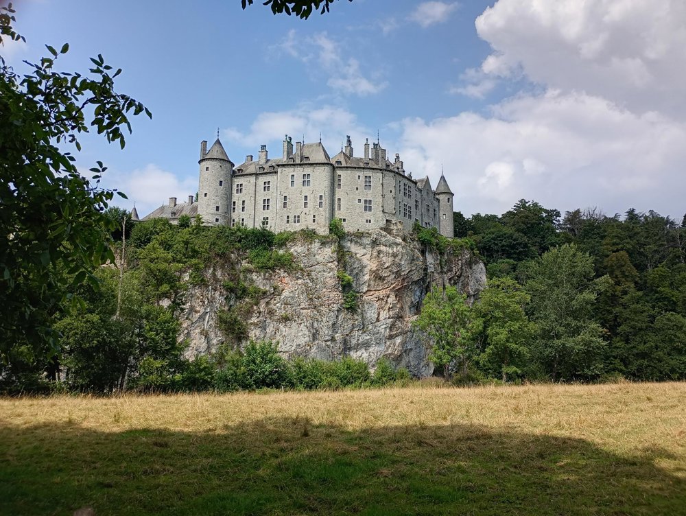
After that, through the woods, we go to the Walzin castle along the Lesse. This castle cannot be visited, and in the summer months, it is busy here with canoes navigating the Lesse.
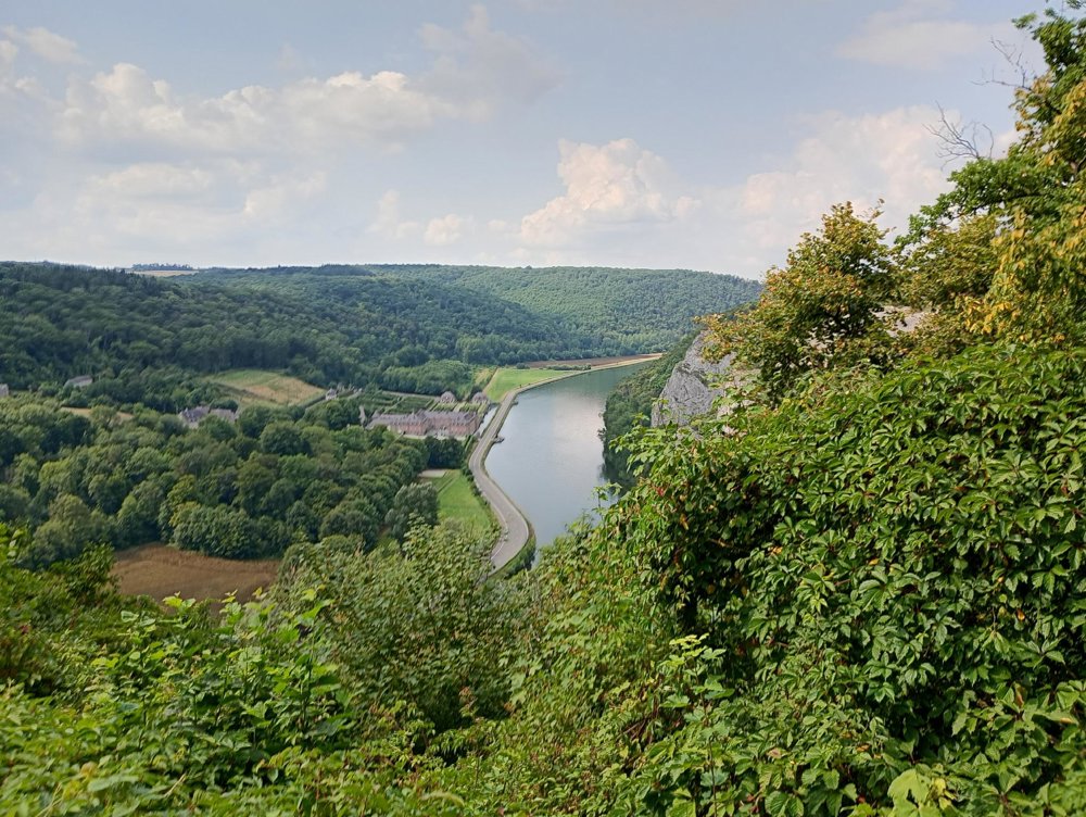
Then we return through the woods to the Meuse. It's worth stopping at the viewpoint by the parking of the Club Alpin Belge (on the main road, chaussée des Alpinistes). Here you have a vast view of the Meuse plain and the castle and gardens of Freyr - if you have the chance, this beautiful castle is definitely worth a visit.
Following the Meuse back to the ferry and the parking. There is no catering or sanitary stop along the way. Good hiking boots are a must here.
automatic translation
Saturday, May 2, 2026 by Jelle VrysenA really beautiful hiking trail. It’s fun to take a ride with Belgium’s last ferryman. The hike offers a bit of everything: forest trails, fields, villages, and a few interesting sights, such as the castles of Walzin and Freyr.
automatic translation
Tuesday, April 7, 2026 by Steven Wouters No ferry, so a very long drive on a busy road
automatic translation
Monday, April 13, 2026 by Peter XXYou can also start the loop hike from Falmignoul, in which case you won’t need to take the ferry. I started in Waulsort because I had first visited the beautiful castle and gardens of Freyr on the other side of the Meuse.
automatic translation
Sunday, July 27, 2025 by S.B.Wonderful hiking route. The Meuse, Lesse, forest, climbing, descending, beautiful views between meadows and fields: the hike has everything. Use plan or GPS. The descent to the Meuse is rather steep though and therefore not for people with mobility problems. The trail was dry in July despite the variable weather of past weeks.
automatic translation


 Upgrade to Premium Plus
