 Hiking
 Login
Login
 More
More
 EN
EN
 Premium
Through the Valley of the Molenbeek
automatic translation
7.8 km • Puurs-Sint-Amands
3.2988 4 3.6/5

 Addresse starting point (approximate)
Fortbaan 2, 2870 Puurs-Sint-Amands, BE
 signage
The route is fully signposted with nodes.
 Description
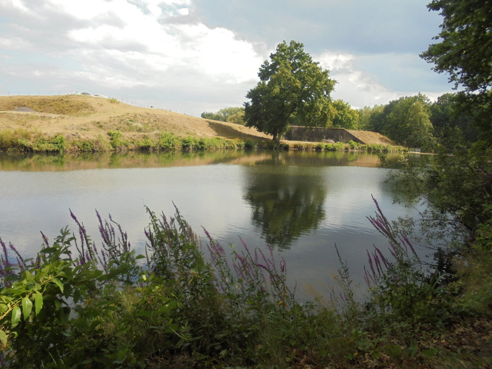
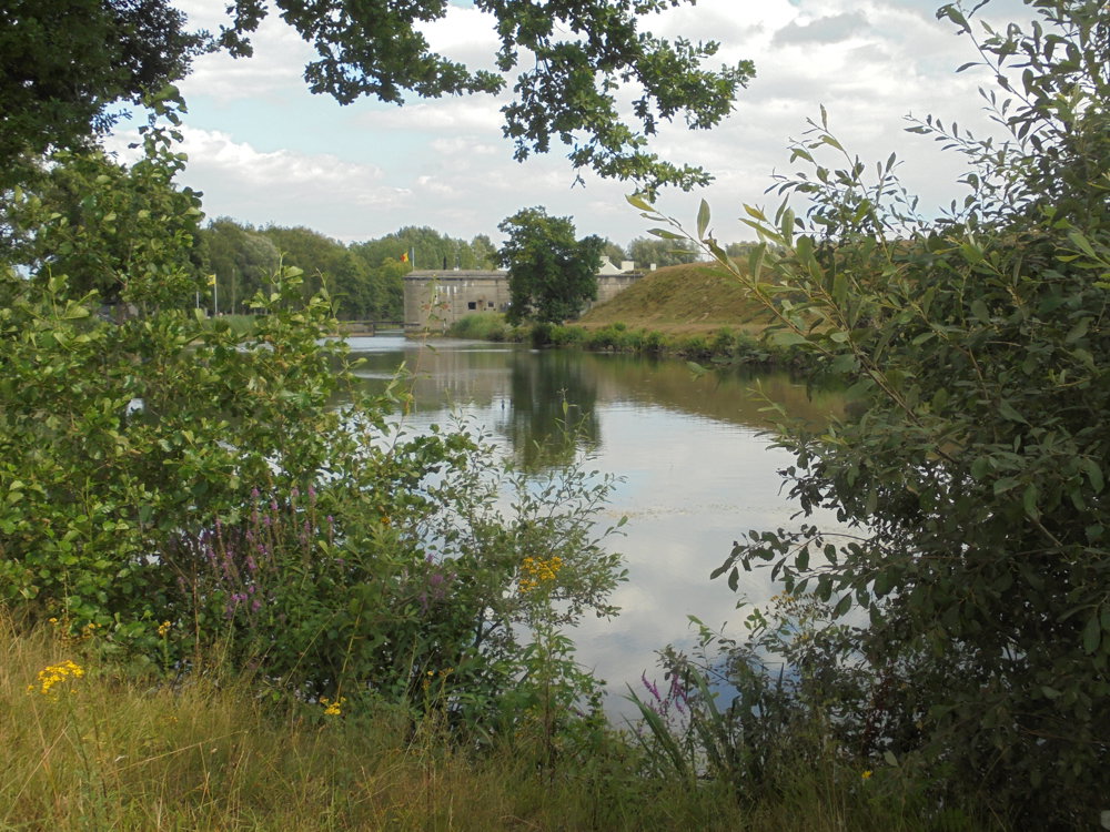
Departure at the Fort of Liezele. The best-preserved fort of Antwerp. In the museum, you will discover how the fortification was established and what role it played during the First World War.
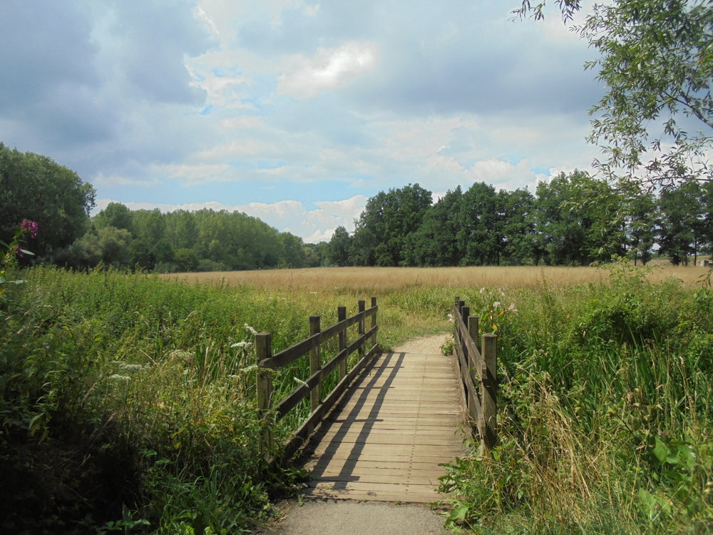
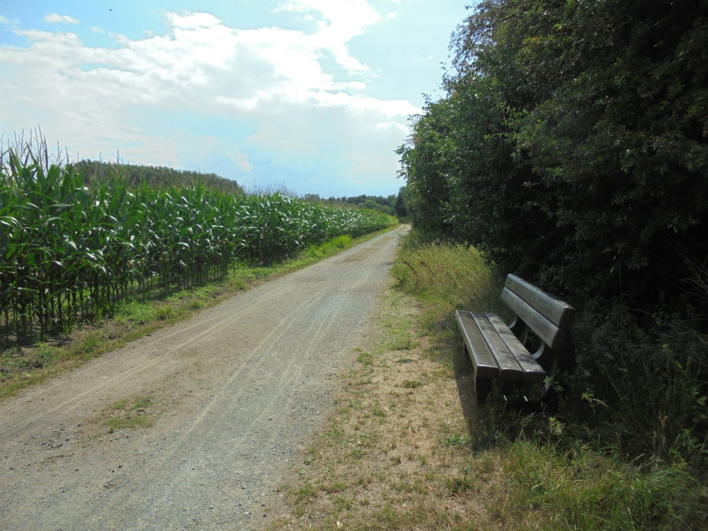
Via quiet, unpaved roads through the Valley of the Molenbeek and through the Poortersbossen back to our starting point.
automatic translation
 nodes to follow
0 km
0.9 km
3.8 km
4.1 km
5.8 km
6.2 km
7.8 km
Saturday, February 14, 2026 by Kristien MellebeekContrary to what someone said earlier, all the junctions are easy to find. And my GPS worked perfectly 😊
A really lovely walk!!
automatic translation
Sunday, November 9, 2025 by Karlien Van Wonterghemvery nice route and mostly in nature
automatic translation
Thursday, October 9, 2025 by Verheyden Marcpoor indication and GPS does not work.
automatic translation
Sunday, September 28, 2025 by P.V.Nice route ....
automatic translation


 Upgrade to Premium Plus
