 Hiking
 Login
Login
 More
More
 EN
EN
 Premium
Auto-pedestrian Oberdonven
automatic translation
10 km • Flaxweiler
1.6890 0 0/5

 Addresse starting point (approximate)
Rue de la Moselle, 5435 Oberdonven, LU
 signage
The route is fully signposted with thematic signs (no nodes).

 Description
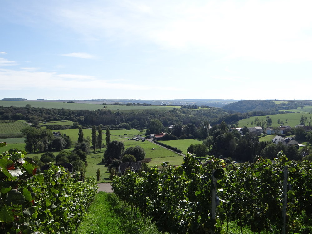
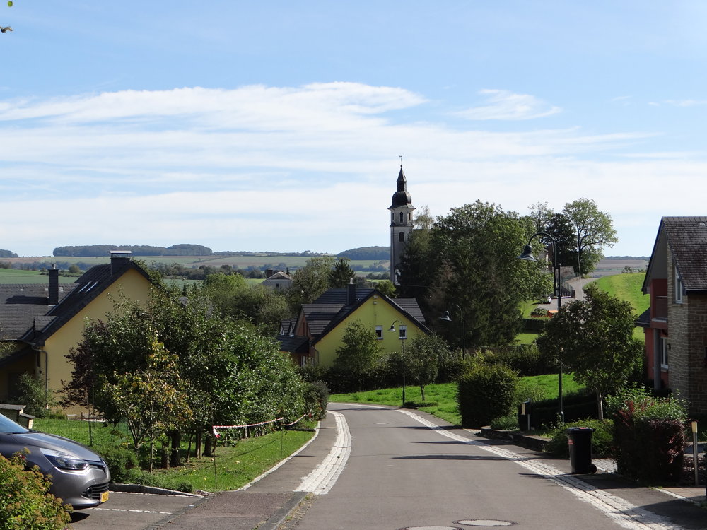
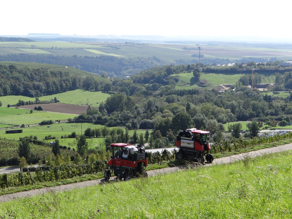
The departure is from the parking lot on Rue de la Moselle in Oberdonven. Parking is free, but you must use the parking disk. You then have 3 hours to complete the loop. We took 2 hours and 30 minutes, including a 20-minute break.
The walk consists of 90% paved roads, but with the views you get to see, you quickly forget that. The walk is very well signposted on one side. In principle, you don't need a GPS, app, or map.
View the photos of this walk to get a little impression of what's to see: https://photos.app.goo.gl/DsQ6BsLmzCUBXhdSA
Enjoy the walk,
Eddy, Rita, and Prinske
automatic translation


 Upgrade to Premium Plus
