
 Hiking
 Login
Login
 More
More
 EN
EN
 Premium
Sint-Veronawandeling
6.3 km • Bertem
 official route
3.4109 3 4.3/5
route offered by

 Addresse starting point (approximate)
Sint-Lambertuskerk, Dorpstraat, 3061 Leefdaal (Bertem)
 signage
The route is fully signposted with nodes.
 Description
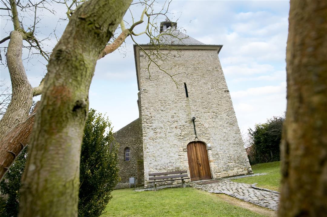
Walk through the fields in Leefdaal to the St. Verona Chapel, a gem whose oldest parts are at least 1,000 years old. According to legend, Saint Verona, the patron saint of the people, is buried here. You’ll find shelter from the sun or rain in several beautiful sunken paths along the slopes of the Voer Valley and enjoy the sweeping view of the loess plateau. You can’t miss the beautiful Liedekerke Castle, named after the count’s family that has lived there since 1775.
automatic translation
 nodes to follow
0 km
0.2 km
0.3 km
2.2 km
2.4 km
3.3 km
4.2 km
5 km
5.6 km
6.2 km
6.3 km
Sunday, February 8, 2026 by Bernadette StiersGreat walk. But be careful at the end towards junction 5. The section along the barbed wire is very dangerous. It is narrow and sloping. It is better to follow the deer path.
automatic translation
Saturday, February 20, 2021 by Michel VMVery nice walk through the fields and forest.
automatic translation
Monday, November 2, 2020 by S.V.Part of this route done (own longer node walk mapped out) St Verona Chapel is idd the effort, in southern France you would make a detour for this, in our own country unknown ... beautiful views, hollow roads, fields, view of Leuven.
automatic translation



 Upgrade to Premium Plus


