 Hiking
 Login
Login
 More
More
 EN
EN
 Premium
Dennendael Path
automatic translation
9.9 km • 2920 Kalmthout
 official route
3.1133 0 0/5
 Addresse starting point (approximate)
Heidestatieplein 4 (Station Heide)
 signage
The route is fully signposted with nodes.
 Description
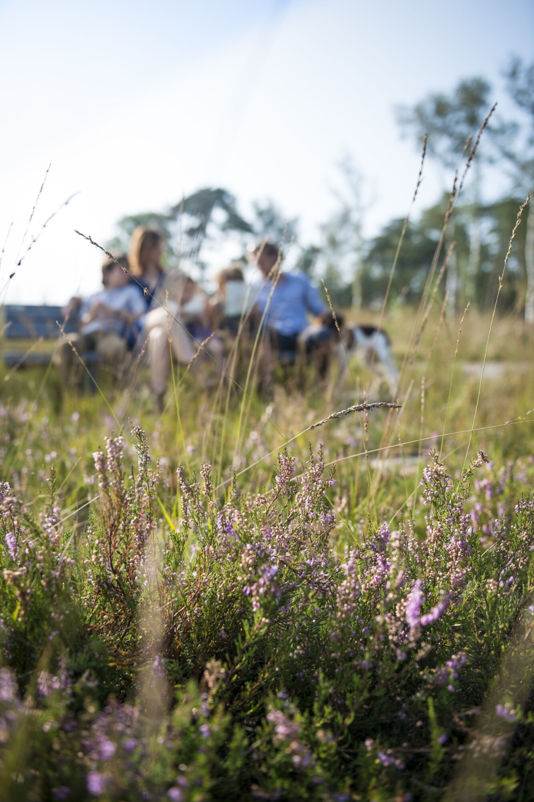
From Heide station you discover the green surroundings where Willy Vandersteen lived and drew. You pass the Mission House, the church once serving the newly founded parish of Heide. A Lourdes grotto was built on the left in 1937. This is now completely renovated, great for a rest while walking. The Klein Schietveld is a well-preserved natural area with a mix of heathland and pine forest. You also walk along the "Sjaeneven. When white sand was still used to cover the floors of inns and farmhouses with sand, one could regularly see sand washers at work here. The fens water also served as drinking water for cattle and surrounding farms.
The Thillostraat leads to the garden suburb of Kalmthout, also called "Vredeburg. The name dates from the period after World War I, when the housing shortage was a major problem. Between the two World Wars there was a veritable influx of Jewish people into Heide. Want to know more about this? Contact Visit Kalmthout about the Jewish history walk in Heide. By the way, the synagogue is the only rural synagogue in Belgium. Scan the QR code there, too, so you can see the synagogue inside.
automatic translation
 nodes to follow
0 km
0.3 km
1 km
1.7 km
2.7 km
2.8 km
3 km
4.3 km
5.8 km
5.8 km
6.3 km
6.4 km
7.3 km
7.5 km
8.4 km
9.3 km
9.7 km
9.9 km


 Upgrade to Premium Plus
