 Hiking
 Login
Login
 More
More
 EN
EN
 Premium
Middenhutwandeling
9.3 km • Sint-Genesius-Rode
 official route
3.63817 4 4.1/5
route offered by
 Addresse starting point (approximate)
Parking Middenhut, Kruispunt Waterloosesteenweg - Zoniënwoudlaan, 1640 Sint-Genesius-Rode
 signage
The route is signposted with thematic signs (no nodes). You can use a GPS device or our app to follow the route through the virtual nodes.
 Description
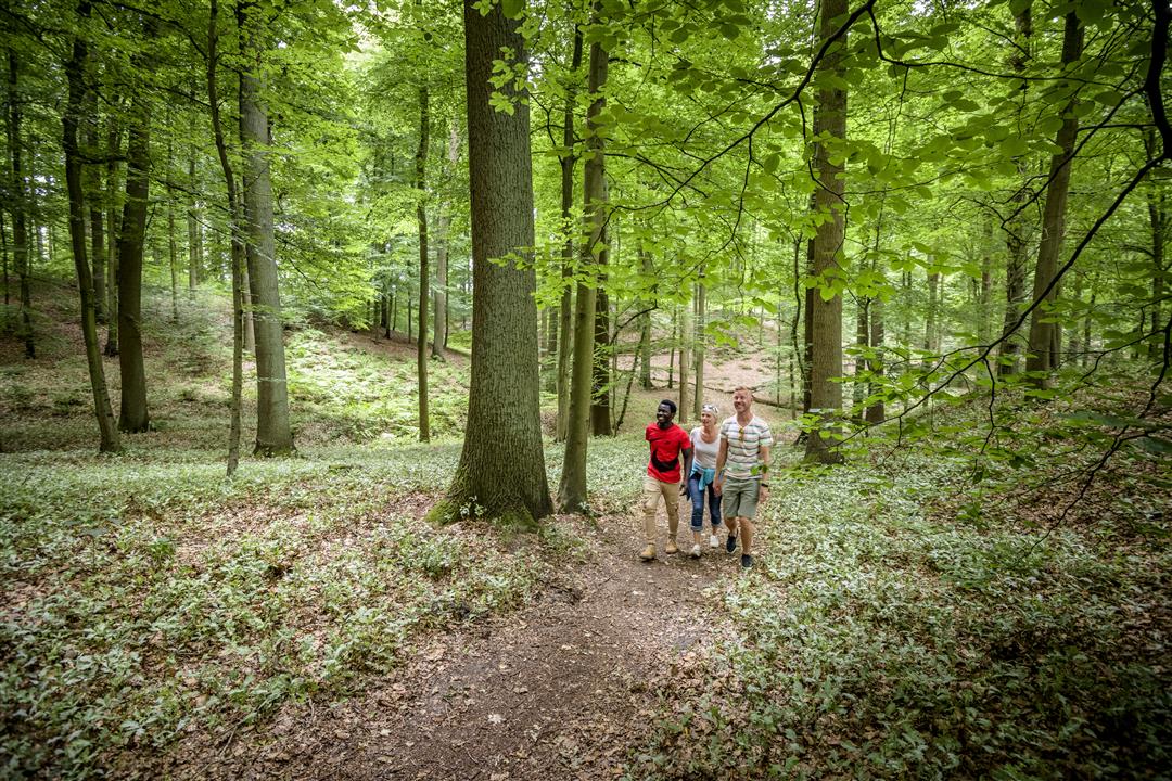
A nice walk along mostly small roads and trails. The forest was replanted near the Middenhut after violent storms in 1990. Today it is a dense and young forest, a special landscape.
Note: This is a hike on a virtual hiking network. The nodes are not signposted on the property. Follow the wooden posts with blue tape.
This walk is offered by Tourism Flemish Brabant and the Agency for Nature and Forests.
automatic translation
 nodes to follow
0 km
1.6 km
2.4 km
4.3 km
5.2 km
5.9 km
7 km
7.7 km
9.3 km
Thursday, June 25, 2026 by Wim BellensA very beautiful and varied trail through the Sonian Forest. Stunning in the morning sun! Convenient parking. Several benches for sitting and eating along the second part of the walk.
automatic translation
Saturday, April 25, 2026 by M.B.A lovely walk through the woods
automatic translation
Sunday, October 12, 2025 by Rita Geirnaertlovely autumn walk in the beautiful sunshine forest
automatic translation
Friday, September 4, 2020 by Luc Van hovenice walk through part of the Sonian Forest, parking is currently not accessible due to works.
automatic translation
Saturday, May 3, 2025 by Rolande Cuvelierthis is out-of-date information.
automatic translation


 Upgrade to Premium Plus
