Loading...

Discover Achterbroek

automatic translation

9.5 km • 2920 Kalmthout

Icon official route official route

2.3541 1 1/5

9.5 km 0.0 km 0.0 km

route offered by

Badge of official route

more info

Icon starting point Addresse starting point (approximate)

Achterbroeksesteenweg 69 (Parking Strijboshof)

Icon type signage of route signage

The route is fully signposted with nodes.

5m 5m 5m 5m
© © Toerisme Provincie Antwerpen

Icon description route Description

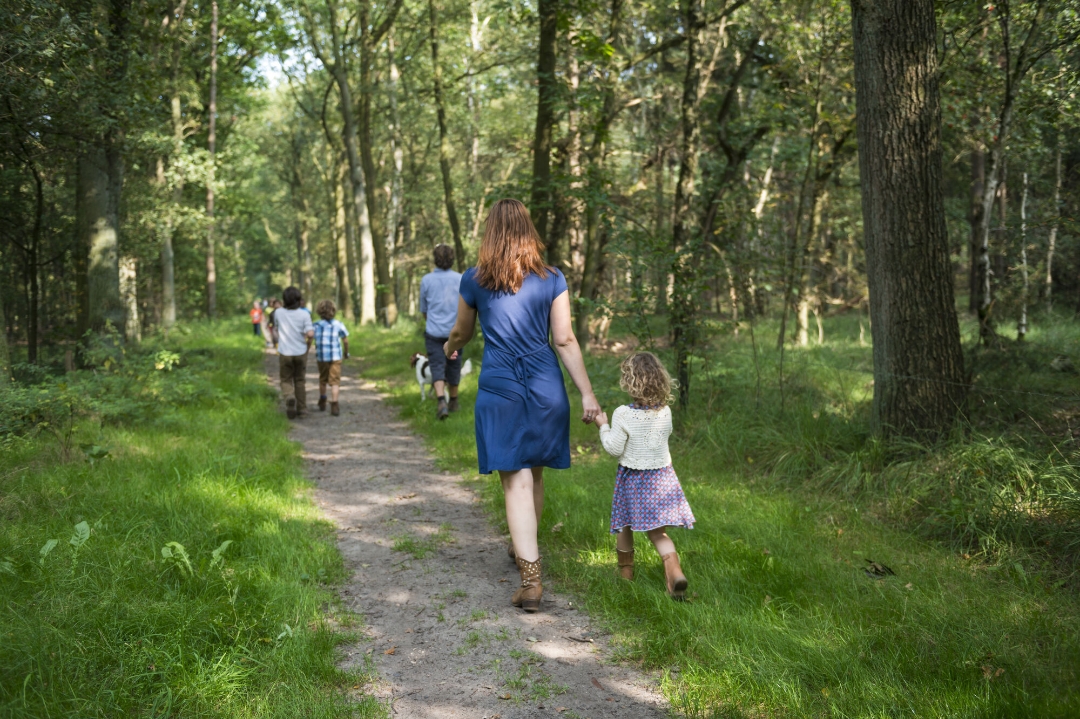
Recently you can get acquainted with the Achterbroek landscape from above. The new vantage point gives you a wonderful view of the typical pollarded trees and the open agricultural landscape. Discover this fascinating landscape in and around Achterbroek and enjoy the hidden natural pearls in the Strijboshof and Wolvenbos.

automatic translation

Icon nodes to follow nodes to follow

Image node 79
0 km
Image node 83
3 km
Image node 89
3.6 km
Image node 90
5.3 km
Image node 91
5.9 km
Image node 92
7.7 km
Image node 90
8.2 km
Image node 93
8.2 km
Image node 78
9.1 km
Image node 78
9.1 km
Image node 78
9.1 km
Image node 79
9.5 km
This route has 1 review(s).
Rate route!

Sunday, May 24, 2026 by Diane PeetersNot the beautiful landscapes that are often described. Not recommended
automatic translation

Which POI do you want to show on the map?

Experimental hiking network
Unsigned icon

The route you have chosen runs (partly) along an experimental virtual hiking node network (the blue-coloured nodes and sections on the map).

You must be logged in to plan routes here.

Experimental hiking network
Unsigned icon

The route you have chosen runs (partly) along an experimental virtual hiking node network (the blue-coloured nodes and sections on the map).

These routes are not controlled in the field. Before you start hiking here, take a minute to read what an experimental hiking node network is and what rules you should follow when hiking here.