 Hiking
 Login
Login
 More
More
 EN
EN
 Premium
Tour of Nieuwmoer
automatic translation
13.8 km • 2920 Kalmthout
 official route
1.9332 0 0/5
13.8 km
0.0 km
0.0 km
 Addresse starting point (approximate)
Kruispunt Jos Tilborghsstraat en Blikstraat (Knooppunt 18)
 signage
The route is fully signposted with nodes.
© © Toerisme Provincie Antwerpen
 Description
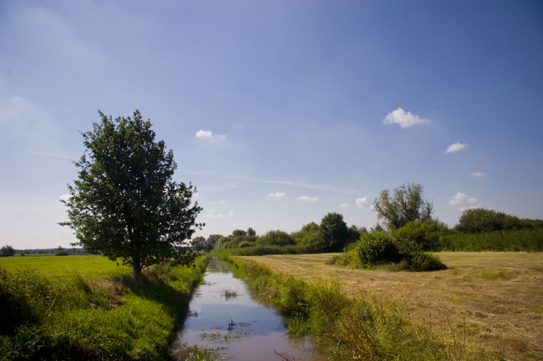
With this walk you will discover the smallest village center of Kalmthout, small but wonderful! Discover the unique nature reserve 'De Maatjes' with its beautiful reed beds, small woods and wet meadows. Who knows, you might spot one of the rare reed and meadow birds that have their nesting place there. Also look out over Nieuwmoer from the watchtower 'De Klot'.
automatic translation
 nodes to follow
0 km
1.7 km
2.4 km
4.2 km
5.2 km
6.1 km
7.2 km
8.1 km
8.2 km
8.7 km
9.4 km
9.7 km
10.1 km
12 km
13.2 km
13.7 km
13.8 km


 Upgrade to Premium Plus
