 Hiking
 Login
Login
 More
More
 EN
EN
 Premium
Steps between Stations
automatic translation
7.4 km • 2920 Kalmthout
 official route
1.6821 0 0/5
7.4 km
0.0 km
0.0 km
 Addresse starting point (approximate)
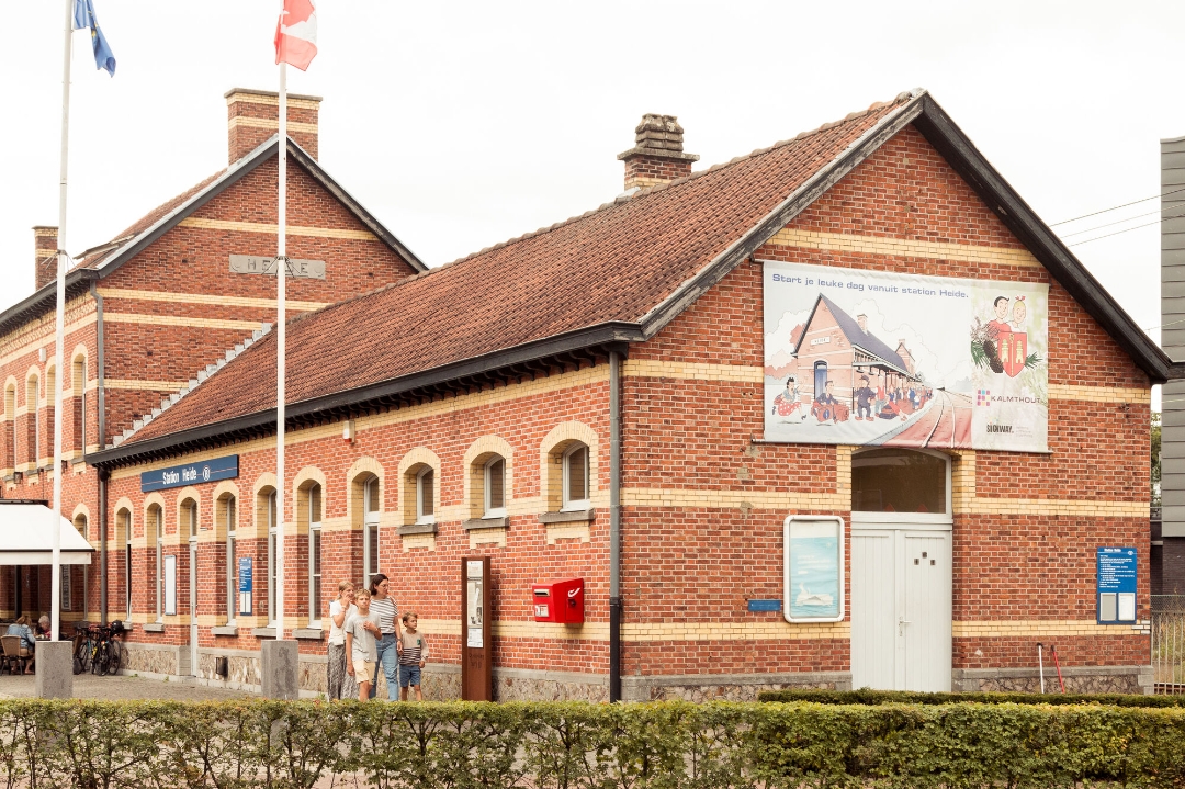
Statieplein 2, Station Kalmthout
 signage
The route is fully signposted with nodes.
© © Toerisme Kalmthout
 Description
When you visit Kalmthout by train, you can walk from station to station. This will give you a better view of our beautiful moorland community. Be sure to drop in at Visit Kalmthout, our municipality's information office. There you will find all kinds of tourist information. You can easily extend your hike with a trail in the Kalmthoutse Heide National Park. Also be sure to discover the Arboretum Kalmthout: there the history of many tree species is told in a beautiful garden!
automatic translation
 nodes to follow
0 km
0.2 km
0.2 km
1 km
1.2 km
1.9 km
2.6 km
3.8 km
5.1 km
5.1 km
5.3 km
5.8 km
5.9 km
6.9 km
7.4 km


 Upgrade to Premium Plus
