 Hiking
 Login
Login More
More EN
EN Premium
Hazendal Walk
automatic translation
3.7 km • Hoeilaart
 official route
3370 0 0/5
route offered by
 Addresse starting point (approximate)
Station van Groenendaal, Groenendaalsesteenweg, 1560 Hoeilaart
 signage
The route is signposted with thematic signs (no nodes). You can use a GPS device or our app to follow the route through the virtual nodes.
 Description
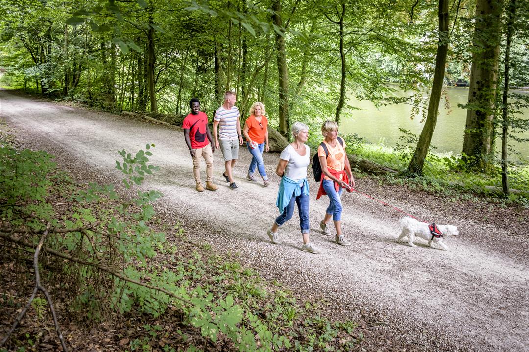
This short walk leads you through the valley and over the slopes of the Hazendal. You start at the Groenendaal station, which was already built in 1895 and is an example of station architecture from the end of the 19th century. Through the valley runs the IJse, which is a source of nutrition for a number of beautiful ponds you will see.
Note: This is a hike on a virtual hiking network. The nodes are not signposted on the property. Follow the wooden posts with red tape.
This hike is offered by Tourism Flemish Brabant and the Agency for Nature and Forests.
automatic translation
 nodes to follow
0 km
0.5 km
0.5 km
0.9 km
1.5 km
2 km
2.3 km
2.9 km
2.9 km
3.3 km
3.6 km


 Upgrade to Premium Plus
