
 Hiking
 Login
Login
 More
More
 EN
EN
 Premium
Zoutleeuw - the Vinne
automatic translation
12.4 km • Zoutleeuw
1.7712 1 5/5

 Addresse starting point (approximate)
Ossenwegstraat, 3440 Zoutleeuw, BE
 signage
The route is partially signposted with nodes. Use a GPS device or our app to follow the route.
 Description
Departure: Parking Provincial Domain Het Vinne, Ossenwegstraat 68, Zoutleeuw
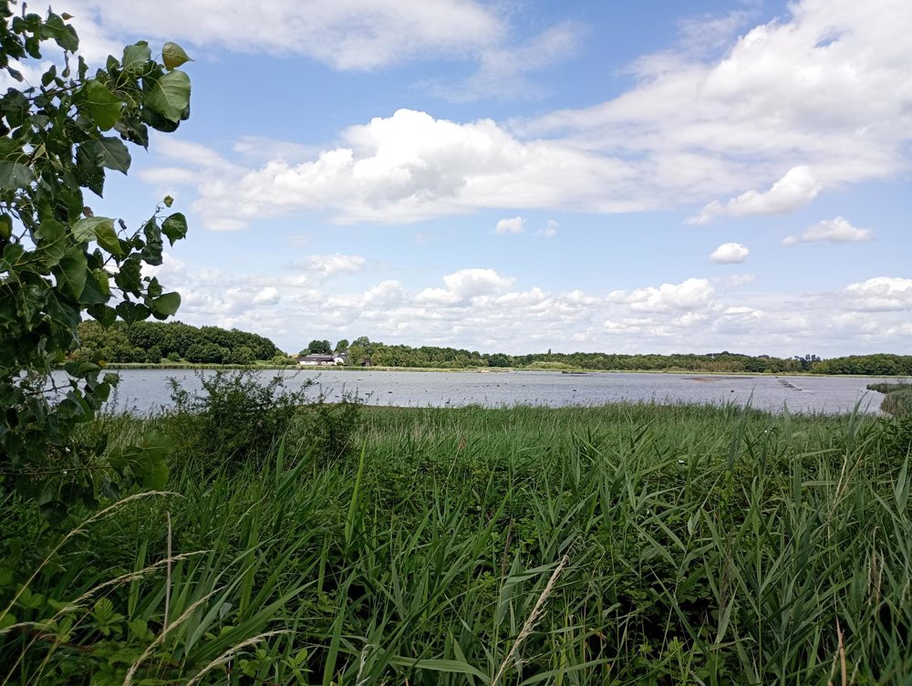
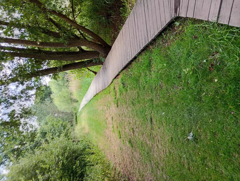
A walk through centuries of history and the breathtaking nature of Zoutleeuw. We walk around the Vinne Lake, the largest natural inland lake in Flanders. Along boardwalks, shelters and observation huts, you will discover the enormous diversity of water-related fauna and flora.
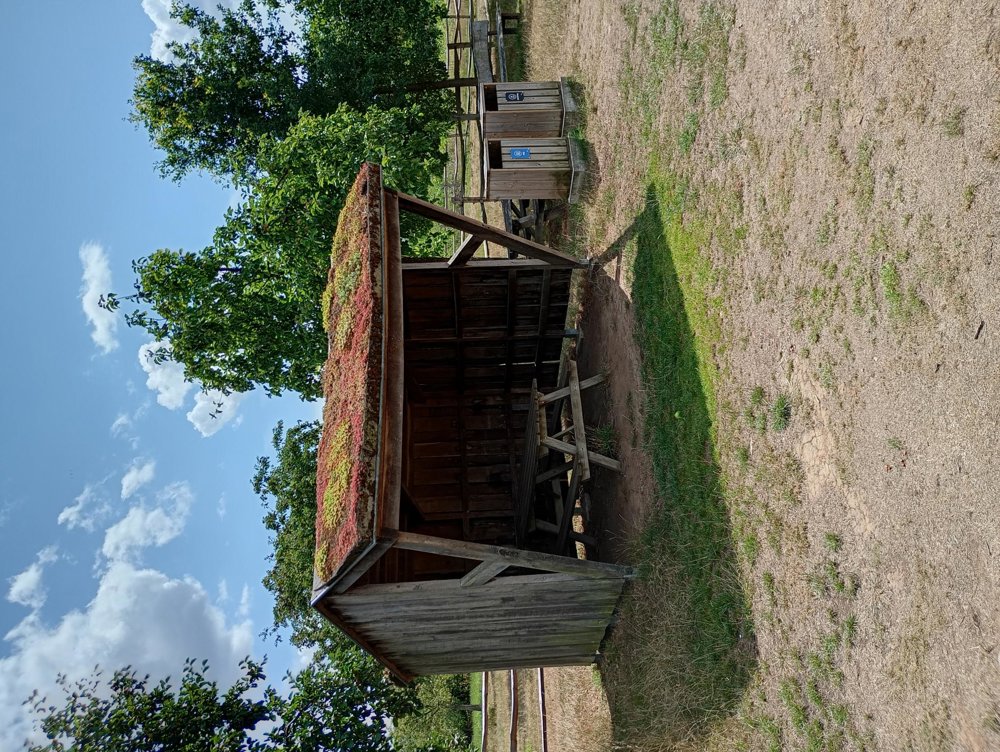
Around the lake, there are picnic tables and benches at regular intervals, sometimes even covered. There is also a bivouac area where wild camping is allowed (after registration with the Agency for Nature & Forests via https://booking.camping.care/bivakzones).
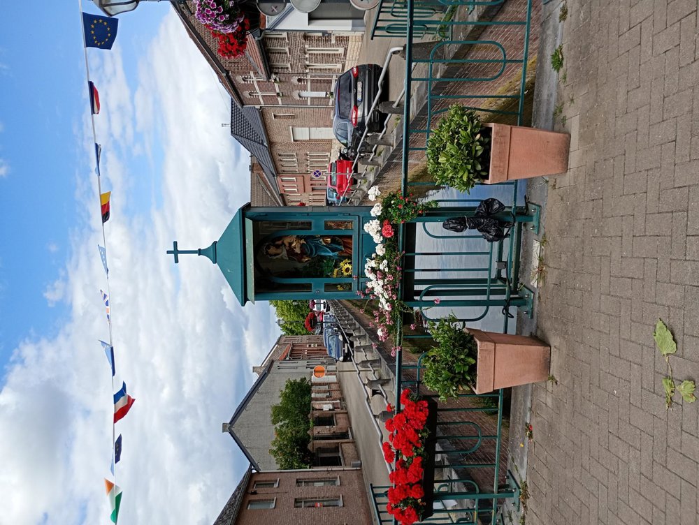
Via the IJzerenweg, you head towards the Grote Markt of Zoutleeuw, a jewel with its Gothic town hall, cloth hall, and the beautiful St. Leonard's Church. Here, approximately halfway through the walk, a sanitary stop can be made.
automatic translation
 nodes to follow
0 km
0.5 km
1.1 km
2 km
2.7 km

3.1 km
4.1 km
5.1 km
5.6 km
6.9 km
7.4 km
8.7 km
9.8 km
10.7 km
12.5 km



 Upgrade to Premium Plus


