 Hiking
 Login
Login
 More
More
 EN
EN
 Premium
Martelange: the Great Anlier Forest
automatic translation
11.6 km • Martelange
9412 0 0/5

 Addresse starting point (approximate)
Chaussée Romaine, 6630 Martelange, BE
 signage
The route is not signposted. Use a GPS device or our app to follow the route through the virtual nodes.
 Description
We took this delightful nature walk on 15/07/2025 (14,685 steps)
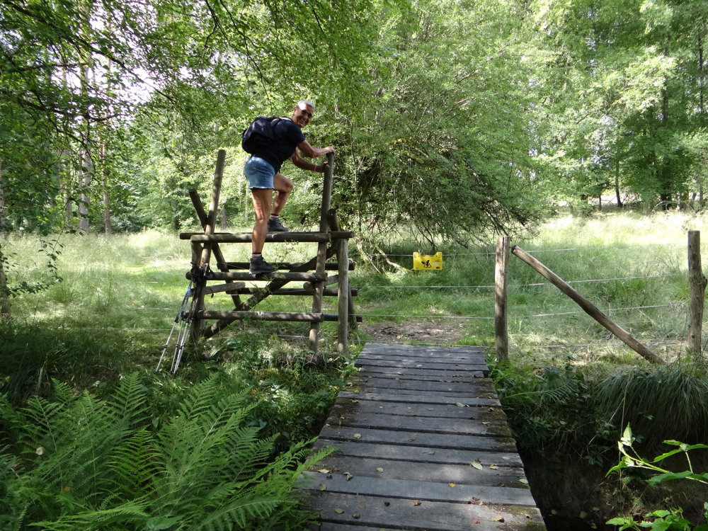
To start with, a warning for those who want to bring the dog. There are 2 barriers you need to get over. With a small dog, it's doable; you can lift them over. You have to be a bit fit yourself to handle the obstacles. (see photo) 😉
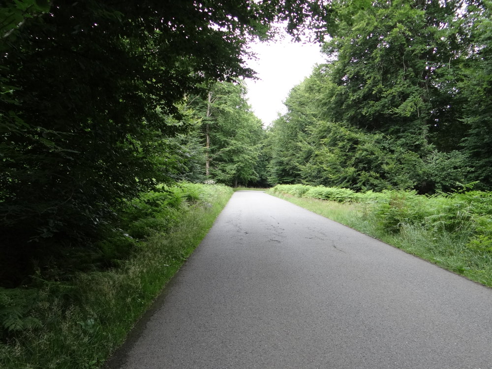
The walk can be started on Rue de Habay in Martelange. The first 2 km offer you a hardened surface, along a relatively quiet road, to deal with. Then you dive into the woods, not coming out until the end. The walk is very varied.
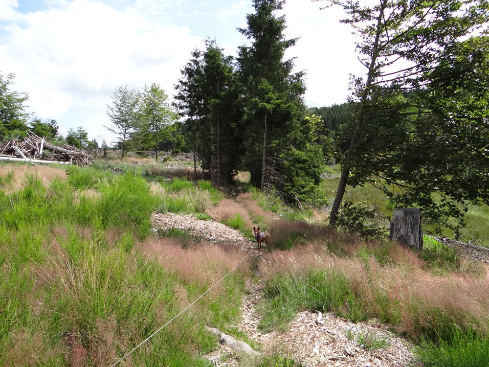
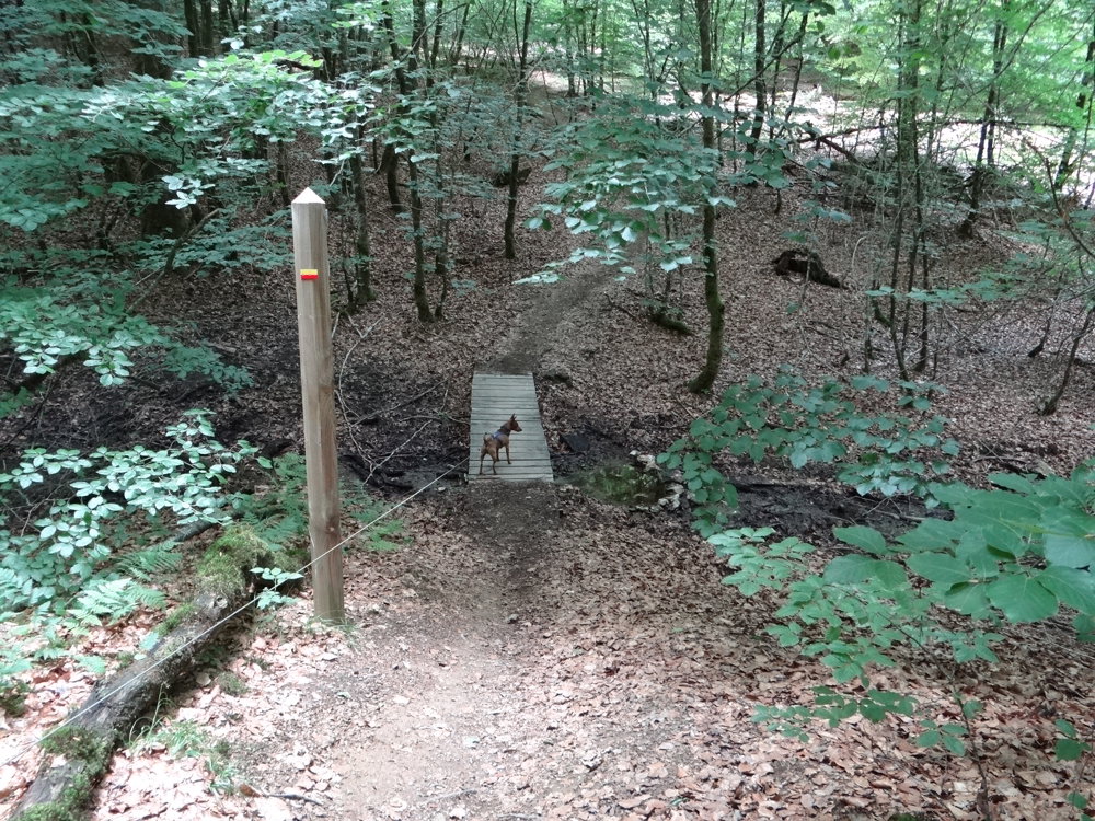
You follow the river La Rulles, which originates in the forest of Anlier and passes by various streams that feed this small river. The last 5 km, you follow the GR 151, which goes through the valley of La Petite Rulles. GR is synonymous with adventure. A beautiful piece of nature awaits you.
More photos: https://photos.app.goo.gl/hExvcJBwfWS4s2uQ7
Happy hiking,
Eddy, Rita, and Prinske
automatic translation
 nodes to follow
0 km
0.4 km
0.9 km
2 km
2.8 km
3.4 km
4.8 km
4.8 km
6.4 km
6.4 km
8.6 km
9.4 km
10.2 km
10.8 km
10.8 km
11 km

11.6 km


 Upgrade to Premium Plus
