 Hiking
 Login
Login
 More
More
 EN
EN
 Premium
Silence Walk Dauwelshausen
automatic translation
11.5 km • Eifelkreis Bitburg-Prüm
2.9900 0 0/5

 Addresse starting point (approximate)
Hofstraße, 54673 Dauwelshausen, DE
 signage
The route is fully signposted with thematic signs (no nodes).
 Description
We did this nature route on 07/10/2025 (15,115 steps).
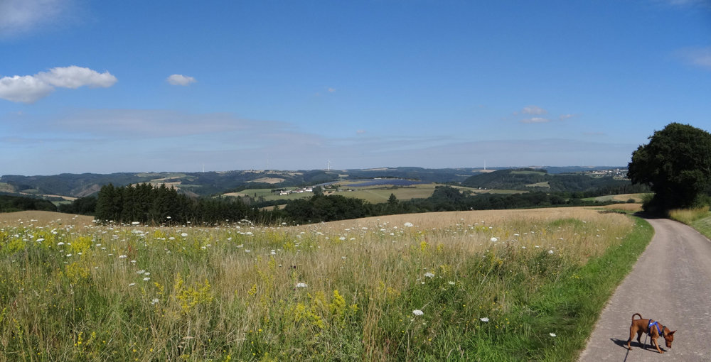
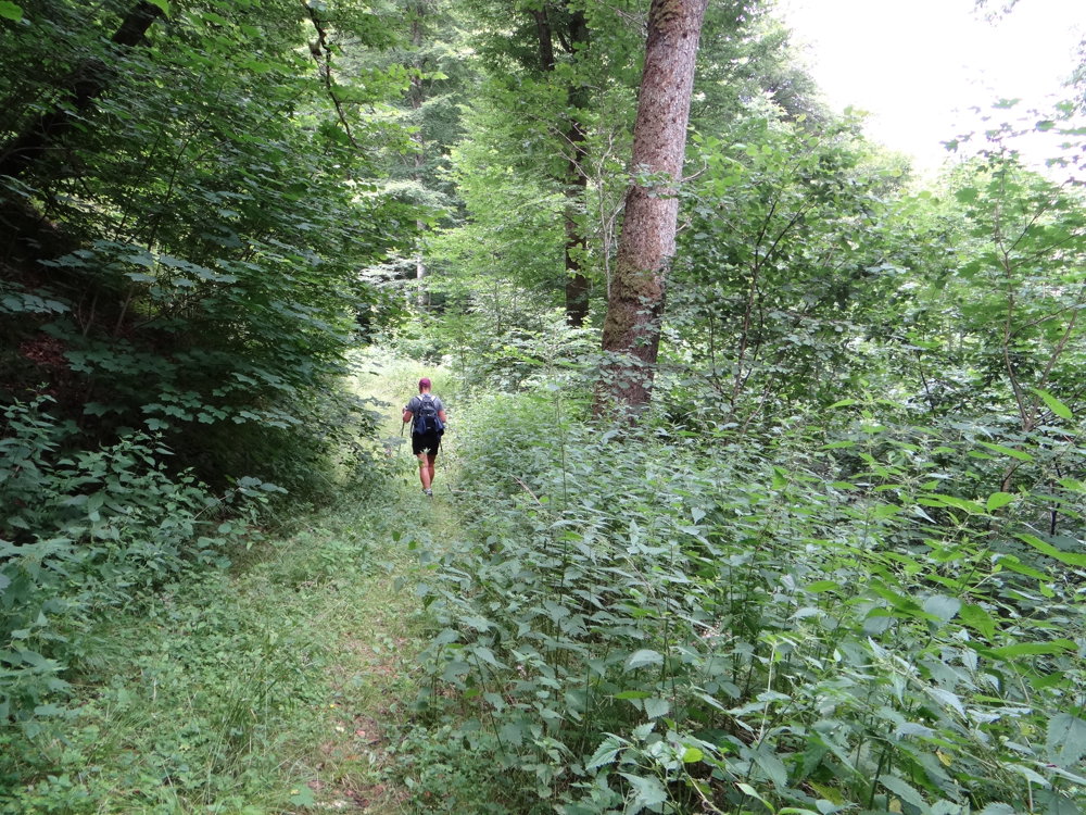
Officially, it is called "Rundwanderweg des Naturpark Südeifel Nr. 35 - Gemünd-Dauwelshausen". We have renamed it a silence walk. During the entire route, we were traveling with just the three of us. There were no other walkers or cyclists to be seen. The ideal hike for those who want to enjoy nature in peace. The paths are not very well maintained, but that makes the nature experience all the more intense. The route is marked with the number 35. Quite a few markings are missing. It's best to bring something to navigate with.
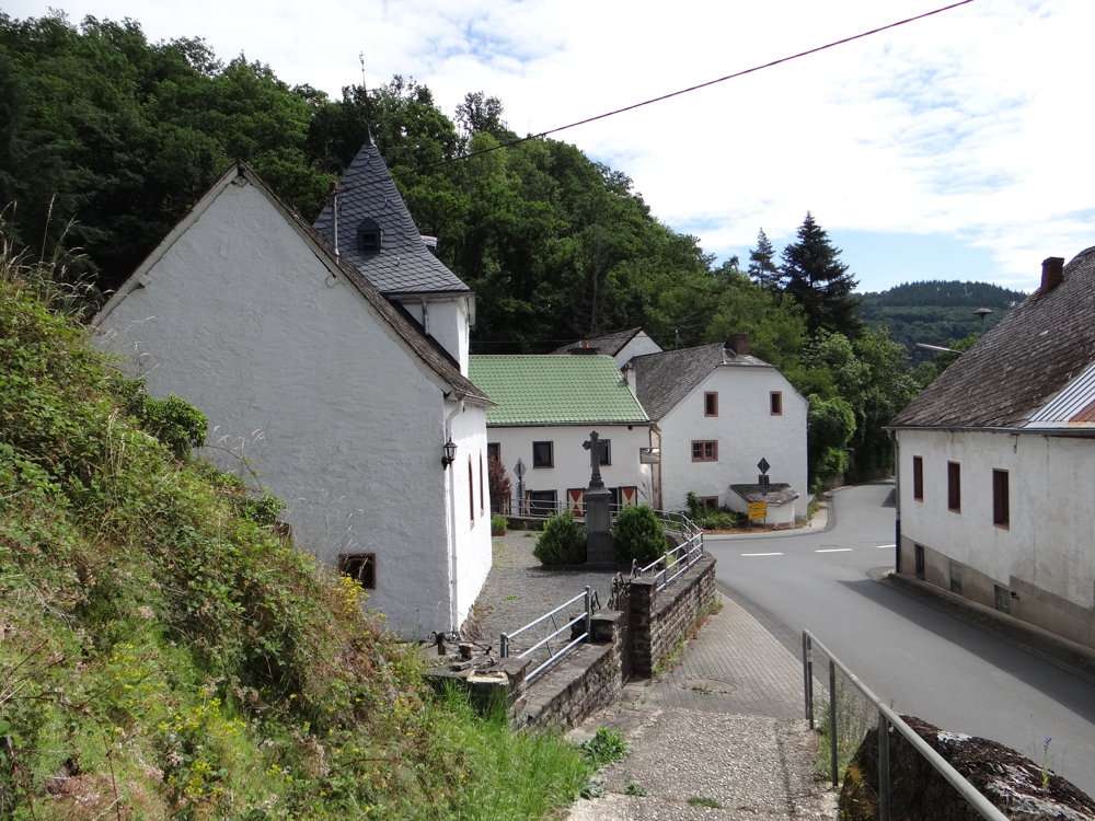
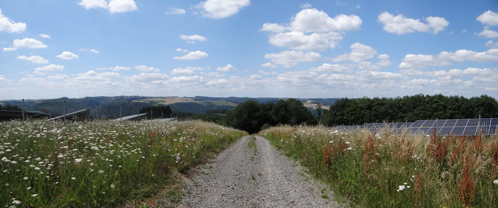
Free parking is available on Hofstraße in Dauwelshausen. From there, it goes downhill to the valley of the Irsen, which you follow to the border village of Gemünd, located on the Our. From there, you ascend again to Dauwelshausen via a steep climb, almost entirely on paved roads. Beautiful views guaranteed!
More photos: https://photos.app.goo.gl/3S7A1zt6Y8fec2Lu5
Happy hiking,
Eddy, Rita, and Prinske
automatic translation


 Upgrade to Premium Plus
