 Hiking
 Login
Login
 More
More
 EN
EN
 Premium
Around the source of the Eastern Ourthe
automatic translation
10.7 km • Gouvy
2.8081 0 0/5

 Addresse starting point (approximate)
Ourthe 57, 6672 Beho, BE
 signage
The route is fully signposted with thematic signs (no nodes).
 Description
We did this fun, easy walk on 09/07/2025 (14,063 steps).
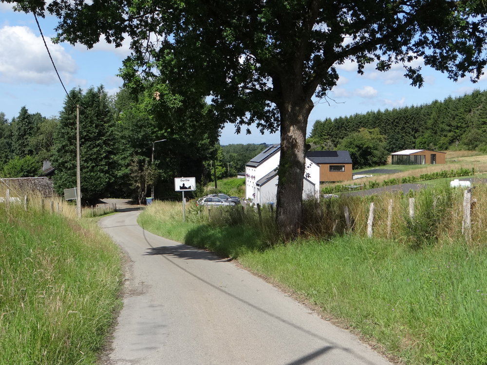
The route (Sentier de la Prusse) starts at the spacious parking lot by the church of Ourthe. It is marked on one side with a yellow cross.
We already knew there was a river called Ourthe. What we didn't know is that there is also a village called Ourthe. The village is located at an altitude of nearly 500 meters at the source of the Eastern Ourthe.
The village is named after the Ardennes river that originates on its territory. The springs emerge here around the village, not at one specific and visible point, but scattered and in many places. In a radius of three kilometers, the small river gathers water from seven small tributaries.
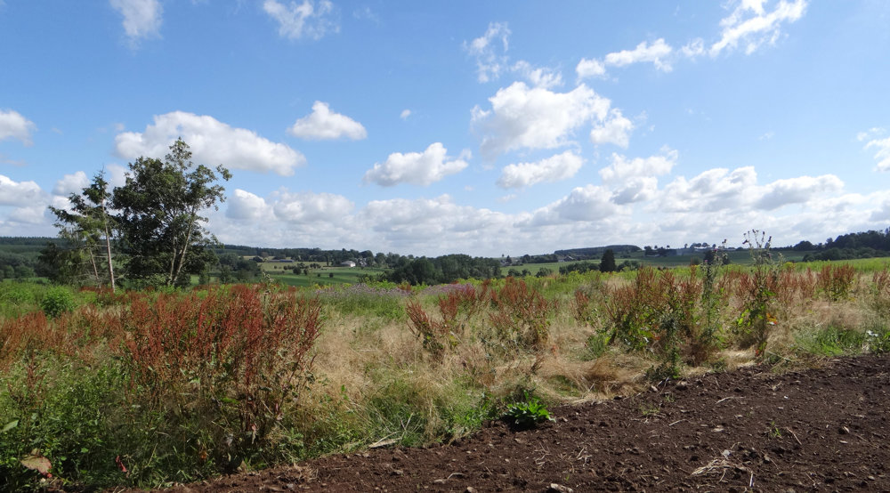
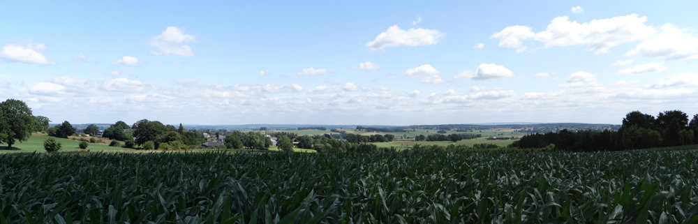
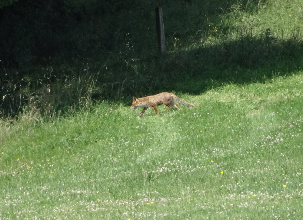
During this route, you often encounter paved roads. There are also many beautiful views, and you might even see a black stork or a fox.
More photos: https://photos.app.goo.gl/nVwkNGtLiZF4mnwo8
Happy hiking,
Eddy, Rita, and Prinske
automatic translation
 nodes to follow
0 km
0.2 km
2 km
3.4 km
4.8 km
5.8 km
6.2 km
7.6 km
7.9 km
10.5 km
10.5 km

10.7 km


 Upgrade to Premium Plus
