 Hiking
 Login
Login
 More
More
 EN
EN
 Premium
Brecht Heath Trail
automatic translation
12.8 km • 2960 Brecht
 official route
5.1193 1 2/5
route offered by
 Addresse starting point (approximate)
Westmallebaan 9 (Café Trapke Op)
 signage
The route is fully signposted with nodes.
 Description
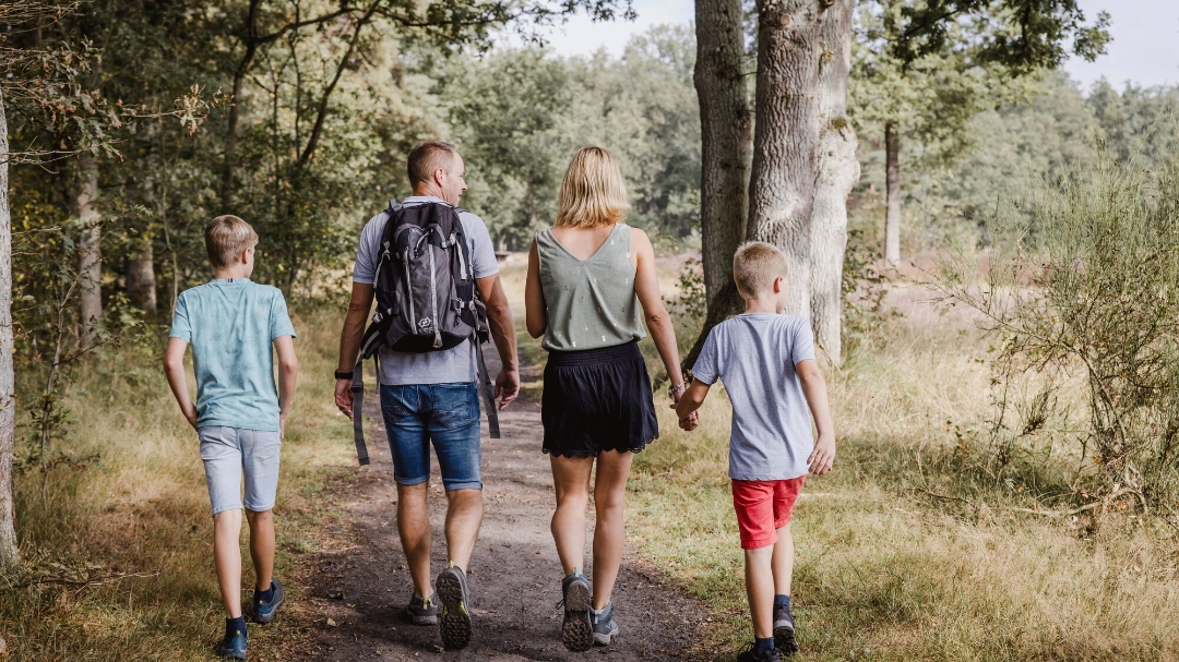
Bird watching at the clay pits of the Kooldries-Hoofsweer nature reserve? Or need to unwind with your eyes on infinity? A picnic or refreshing break at a nice location along the way? Sniffing the scent of a yet unknown forest after a rainstorm with your faithful four-legged friend on a leash? Or simply enjoying pure nature with the kids and taking home a bottle of delicious goat's milk afterwards? Or would you rather stay longer at one of the cozy places to stay in the area? Mix your ideal combination yourself on the Brecht Heath Trail....
The route is about 15 km long but mostly unpaved. The landscape varies from canal to clay pit area with scrub and open landscape with meadows and woods. The Brechtse Heide lies on the dividing line of the Scheldt and Meuse basins so you also find numerous fens here (Marmerven is the largest and best known formerly popular recreational area now private) because the water does not know where to flow.
The Brechtse Heide has not yet been discovered by the masses. Especially the Bergeyckse woods are relatively unknown so you can still walk here in peace and quiet and the chance of spotting fauna is high (including birds, squirrels, wildlife). Dogs are welcome on a leash throughout the trail. You may also hear the occasional campanile of the abbey in the background breaking the silence.
automatic translation
 nodes to follow
0 km
0 km
0.6 km
2.2 km
2.2 km
2.5 km
3 km
4.4 km
4.9 km
5.9 km
8.1 km
9.1 km
10.2 km
11.2 km
11.4 km
12.8 km


 Upgrade to Premium Plus
