Loading...

The Enchanted Country Dunes

automatic translation

9.3 km • 2440 Geel

Icon official route official route

4.0348 1 4/5

9.3 km 0.0 km 0.0 km

route offered by

Badge of official route

more info

Icon starting point Addresse starting point (approximate)

Bel 13 (Sint-Lambertuskerk)

Icon type signage of route signage

The route is fully signposted with nodes.

5m 5m 5m 5m
© © Toerisme Provincie Antwerpen

Icon description route Description

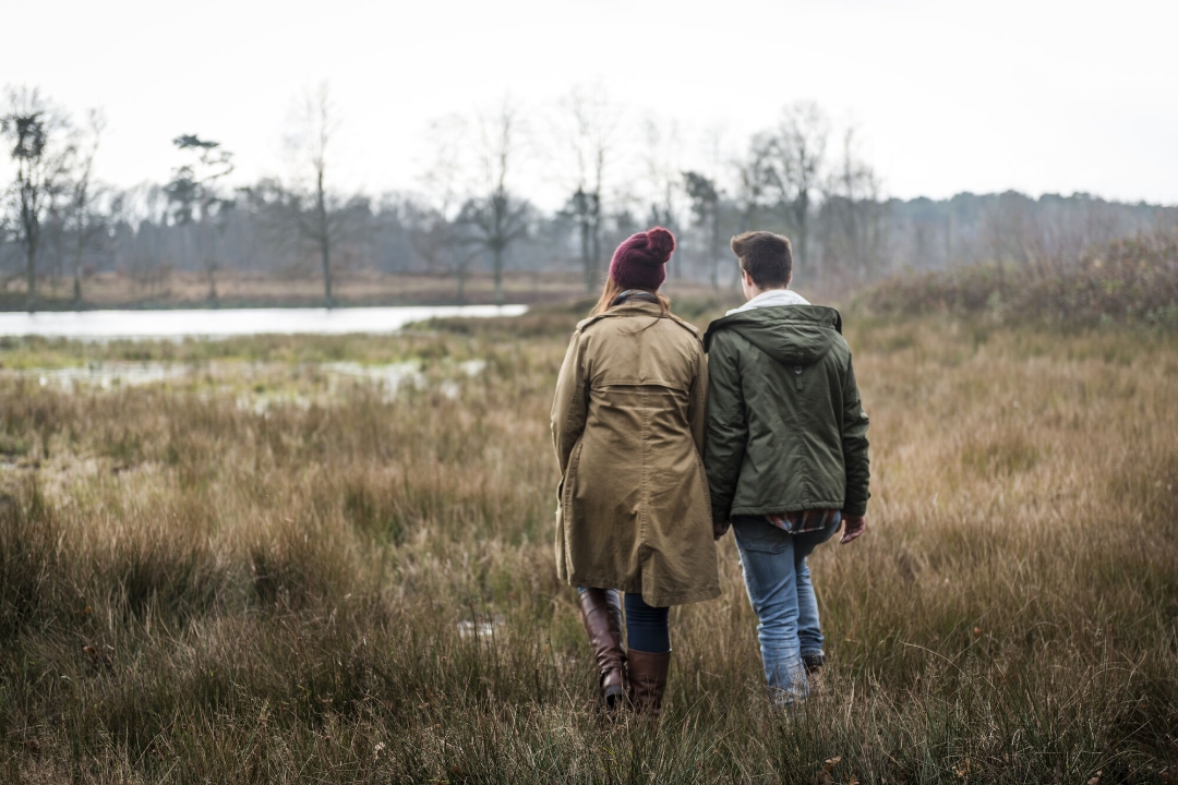
Dunes in the Kempen? Sure. After the last ice age, the expanding sand of the Grote Nete created sandy hills. Today in Geel-Bel you will discover an ancient and typical Kempen landscape: high, dry land dunes and low, wet stream valleys.
The land dunes make for beautiful landscapes with a very distinctive flora and fauna. Pedunculate oaks and mountain pines determine the image. Typical inhabitants of the dunes are digger wasps, sand bees and sand beetles. On the dry sand ridges you walk through extensive coniferous forests, beautiful moors and vast sand drifts.

automatic translation

Icon nodes to follow nodes to follow

Image node 49
0 km
Image node 51
1.2 km
Image node 53
1.5 km
Image node 54
3.1 km
Image node 52
4.7 km
Image node 30
5.7 km
Image node 31
6.5 km
Image node 32
6.8 km
Image node 88
7 km
Image node 34
7.5 km
Image node 33
8.1 km
Image node 48
8.4 km
Image node 49
9.3 km
This route has 1 review(s).
Rate route!

Sunday, August 24, 2025 by sonja Vanderstappen Beautiful, varied and well-marked walk, the heather is in bloom now, the views along the way amaze you, the beautiful drives, the peace, this is the quiet Kempen at its best.
automatic translation

Which POI do you want to show on the map?

Experimental hiking network
Unsigned icon

The route you have chosen runs (partly) along an experimental virtual hiking node network (the blue-coloured nodes and sections on the map).

You must be logged in to plan routes here.

Experimental hiking network
Unsigned icon

The route you have chosen runs (partly) along an experimental virtual hiking node network (the blue-coloured nodes and sections on the map).

These routes are not controlled in the field. Before you start hiking here, take a minute to read what an experimental hiking node network is and what rules you should follow when hiking here.