 Hiking
 Login
Login
 More
More
 EN
EN
 Premium
Water Mill Path
automatic translation
13.6 km • 2322 Minderhout (Hoogstraten)
 official route
2.3241 0 0/5
 Addresse starting point (approximate)
Knooppunt 47, Castelréweg 20
 signage
The route is fully signposted with nodes.
 Description
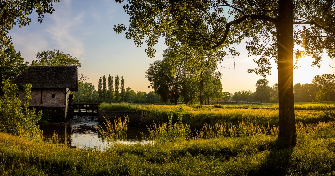
The Watermolenpad is a special hiking trail along a varied landscape of forests and fields. The hike takes you to Minderhout, Hoogstraten, Castelré - a borough of Baarle-Nassau - and Wortel. Highlight along the route: De Laermolen.
The name of this mill is first mentioned in 1391. It was already an oil mill then, but it looked different than today: it was probably built of wood. In 1586, this wooden Laermolen was completely reduced to ashes, but fortunately rebuilt around 1620. In 1996, the mill was restored by a few enthusiastic Hoogstraten residents, making it a beautiful place to stay again.
automatic translation
 nodes to follow
0 km
0.4 km
1 km
1.6 km
1.8 km
2.2 km
2.7 km
3.2 km
4.1 km
4.1 km
5.2 km
5.2 km
5.4 km
5.7 km
6.2 km
6.5 km
6.7 km
7.2 km
7.5 km
8.6 km
8.6 km
8.9 km
9.9 km
10.5 km
11.6 km
13 km
13.5 km


 Upgrade to Premium Plus
