 Hiking
 Login
Login
 More
More
 EN
EN
 Premium
Quadruped tour
automatic translation
12.4 km • 2920 Kalmthout
 official route
1.7976 0 0/5
 Addresse starting point (approximate)
Putsesteenweg 131 (Visit Kalmthout)
 signage
The route is fully signposted with nodes.
 Description
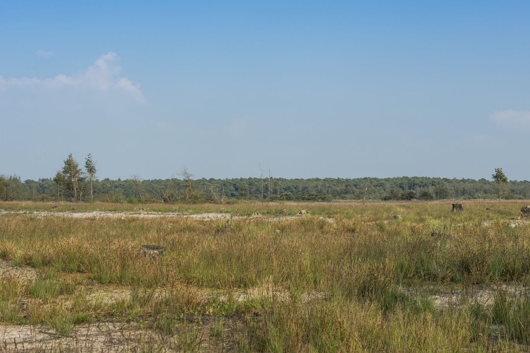
Would you like to go hiking with your four-legged friend in the Kalmthoutse Heide? Although several hiking trails are not accessible with the dog, you can still have a nice walk with this mapped out walk via the hiking nodes. But always keep your dog on a leash. After the walk your dog can romp or stretch its legs in the dog play forest at the main parking lot of the Kalmthoutse Heide.
During the walk you will discover all the tourist hotspots such as the Putse Moer and the Stappersven, you can also look out over the beautiful heathland from the Brandtoren and the Stapper at the Stappersven. On the fen you can also enjoy a beautiful panorama from the Kleine Stapper, so there is always something to see on the water and/or in the air.
Be sure to visit the new and interactive information office of Visit Kalmthout, there is always something to do and to discover!
automatic translation
 nodes to follow
0 km
0.2 km
0.2 km
2 km
2.5 km
3.2 km
4.5 km
4.9 km
6.3 km
7.2 km
7.3 km
8.6 km
9.1 km
9.8 km
10.3 km
10.9 km
12.2 km
12.2 km
12.4 km


 Upgrade to Premium Plus
