 Hiking
 Login
Login
 More
More
 EN
EN
 Premium
From shore to hilltop
automatic translation
10.3 km • 2460 Kasterlee
 official route
3.6189 1 4.5/5
 Addresse starting point (approximate)
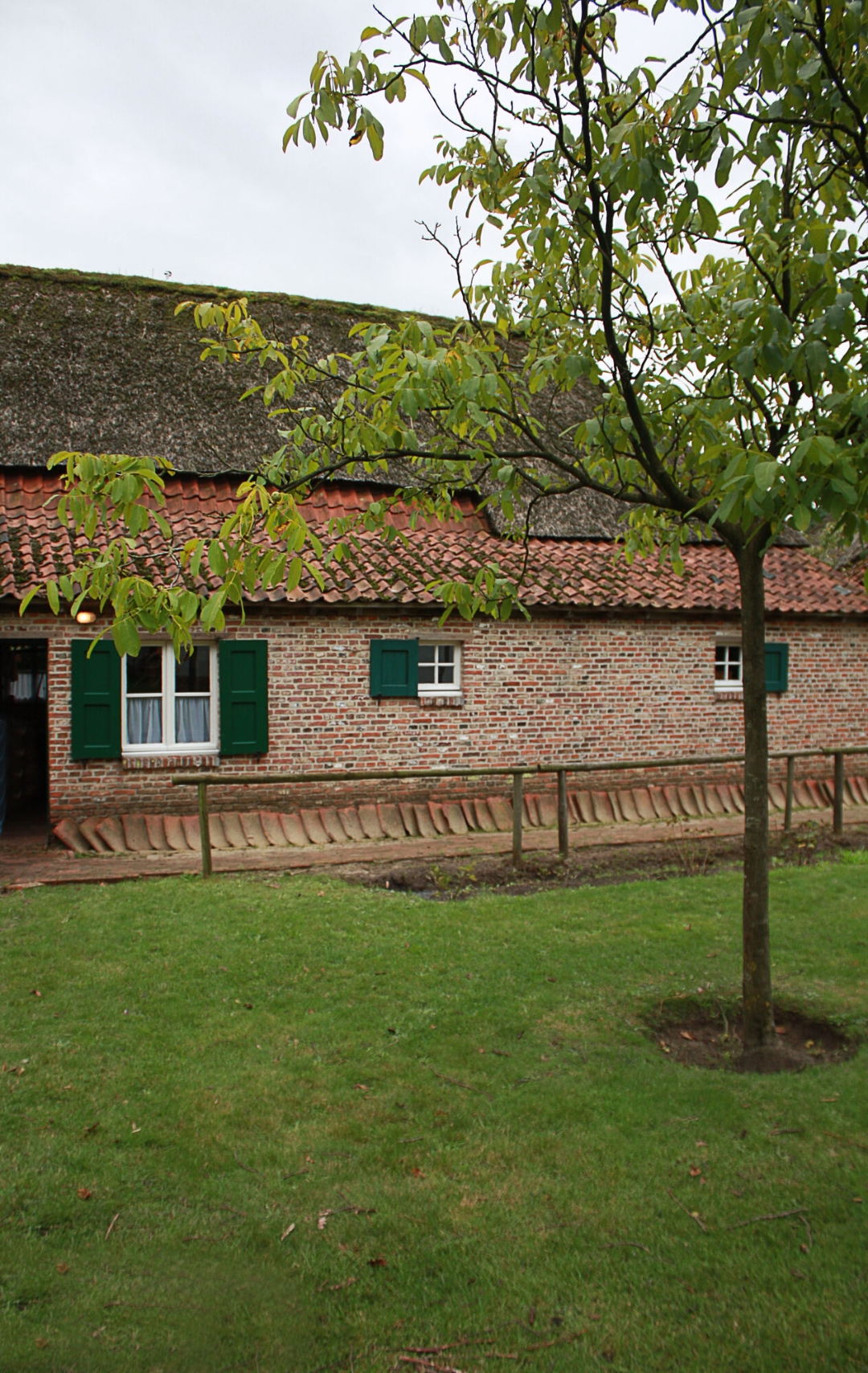
Heemerf de Waaiberg, Waaiberg 1
 signage
The route is fully signposted with nodes.
 Description
This varied walk of 10.3 km takes you along the most beautiful spots of Kasterlee. You start at the Heemerf and walk along the banks of the Kleine Nete. Along the way you pass Keeses Molen, cross the woods and climb the Kempense Heuvelrug and Kabouterberg. Hollow roads, heathland, picnic areas and the artwork A Giant Sculpture by Gijs Van Vaerenbergh make for a fine and varied landscape.
Fancy a break? An idyllic picnic spot awaits at the fish ladder on the Kleine Nete (between nodes 69 and 71). Here you will also find the wood sculpture of the heron with boots, looking out over the rippling water. Prefer a little more comfort? Settle down on the terrace of brasserie De Courant.
Thanks to the variety of forest, hills, water and picnic spots, this walk is ideal for everyone. Dogs are welcome on a leash. At parking Hoge Mouw, Holle weg, at hiking junction 150 there is a dog walking zone.
automatic translation
 nodes to follow
0 km
0.5 km
1.1 km
1.9 km
2 km
2.3 km
2.8 km
2.9 km
3.1 km
3.2 km
3.5 km
3.6 km
3.6 km
4.1 km
4.5 km
4.6 km
5.3 km
6.6 km
6.7 km
6.8 km
7.4 km
7.7 km
8 km
8 km
8.2 km
8.5 km
8.7 km
9.1 km
9.4 km
9.4 km
9.6 km
9.8 km
10 km
10.1 km
10.2 km
Sunday, August 17, 2025 by Peter D'hontA beautiful hike. However, I would recommend doing the hike in reverse. The stretch between Junctions 86 and 12 has quite a bit of elevation change on a sandy road. Since this is the most difficult part I would start here. And the restaurant where you can have a drink is between 70 and 72 and is situated at the end of the hike.
automatic translation


 Upgrade to Premium Plus
