
 Hiking
 Login
Login
 More
More
 EN
EN
 Premium
Doode Bemdewandeling
5 km • Huldenberg
 official route
8.21510 3 5/5
route offered by

 Addresse starting point (approximate)
Donkerstraat 1, 3040 Neerijse (Huldenberg)
 signage
The route is fully signposted with nodes.
 Description
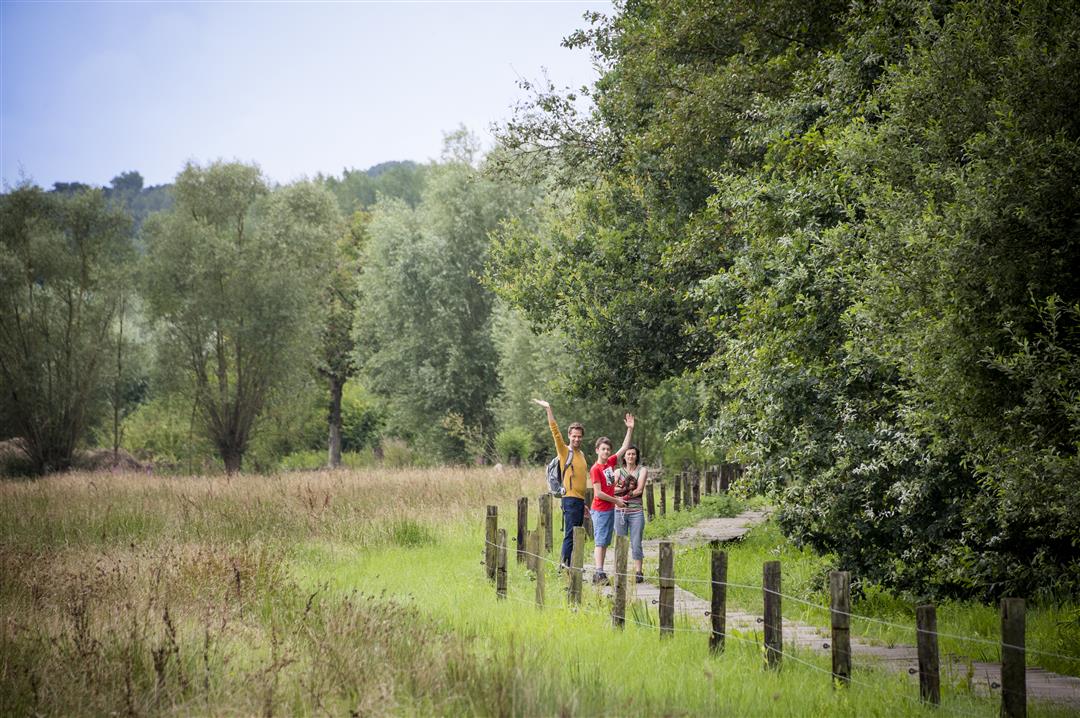
Discover one of the most valuable and largest nature reserves in the Dijle Valley. The Doode Bemde is a natural floodplain where the Dijle River has room to overflow its banks, thereby protecting Leuven from flooding. The valley landscape is a mosaic of small fields and marshy woodlands, scrublands and reed beds, ponds, and canals—each a unique habitat teeming with life. Admire Neerijse Castle, the 18th-century Lindenhof, and several charming little chapels.
automatic translation
 nodes to follow
0 km
0.4 km
0.7 km
1.7 km
2.8 km
3.6 km
3.9 km
4.4 km
4.8 km
5 km
Monday, December 7, 2020 by E.P.Nice walk in a quiet environment. We had extended the hike to include node 103. Be sure to wear proper footwear because along the Dijle it can be slippery.
automatic translation
Wednesday, July 15, 2020 by Erik ArfeuilleThis is undoubtedly a "Must Do" hike near Leuven. The nature here is beautiful. There is a climb at the end, so you may want to consider doing the hike in reverse.
automatic translation
Friday, May 22, 2020 by S.N.Beautiful walk in beautiful nature
automatic translation



 Upgrade to Premium Plus


