 Hiking
 Login
Login More
More EN
EN Premium
Doode Bemde Walk
automatic translation
5 km • Huldenberg
 official route
2.0320 3 5/5
route offered by
 Addresse starting point (approximate)
Donkerstraat 1, 3040 Neerijse (Huldenberg)
 signage
The route is fully signposted with nodes.
 Description
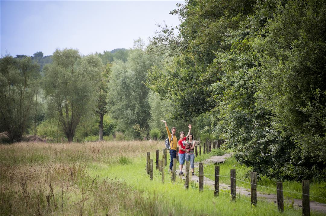
This walk introduces you to one of the most beautiful green pearls in the Dyle Valley. The Doode Bemde, a stone's throw from Leuven, is one of the most important nature reserves in the region and has often protected the city from flooding. It is always damp to say the least and the Dijle regularly overflows its banks. So boots are no luxury. This walk takes you through the valley landscape, a mosaic of small fields and copses, rugged and reed beds, ponds and canals. The Dijle leads you along its banks to the confluence with the river IJse and the most important sights of Neerrijse: the Castle of Neerijse, the chapel of Our Lady of the Square, the Lindenhof and the St. Roch Chapel.
This walk is offered by Tourism Flemish Brabant.
automatic translation
 nodes to follow
0 km
0.5 km
0.7 km
1.8 km
2.8 km
3.7 km
3.9 km
4.5 km

4.7 km
4.9 km
5 km
Monday, December 7, 2020 by E.P.Nice walk in a quiet environment. We had extended the hike to include node 103. Be sure to wear proper footwear because along the Dijle it can be slippery.
automatic translation
Wednesday, July 15, 2020 by Erik ArfeuilleThis is undoubtedly a "Must Do" hike near Leuven. The nature here is beautiful. There is a climb at the end, so you may want to consider doing the hike in reverse.
automatic translation
Friday, May 22, 2020 by S.N.Beautiful walk in beautiful nature
automatic translation


 Upgrade to Premium Plus
