 Hiking
 Login
Login
 More
More
 EN
EN
 Premium
Jabbeke Vloethemveld
automatic translation
12.6 km • Jabbeke
3.64616 0 0/5

 Addresse starting point (approximate)
Oude Bruggeweg 6, 8490 Jabbeke, BE
 signage
The route is fully signposted with nodes.
 Description
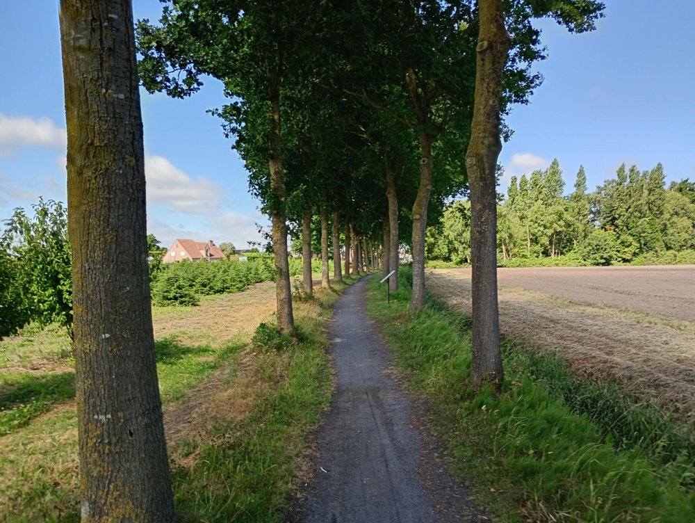
Departure: Eernegemweg 115 - Jabbeke
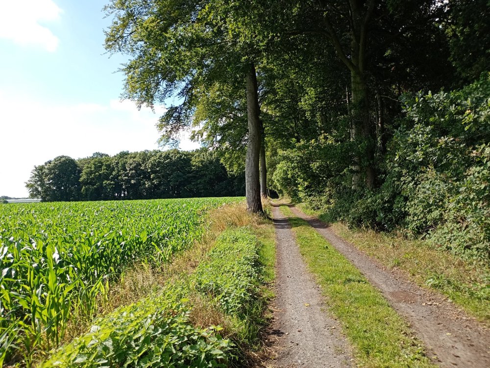
We will enter the Stroperspad towards Zerkegem to then turn towards the Vloethemveld nature reserve.
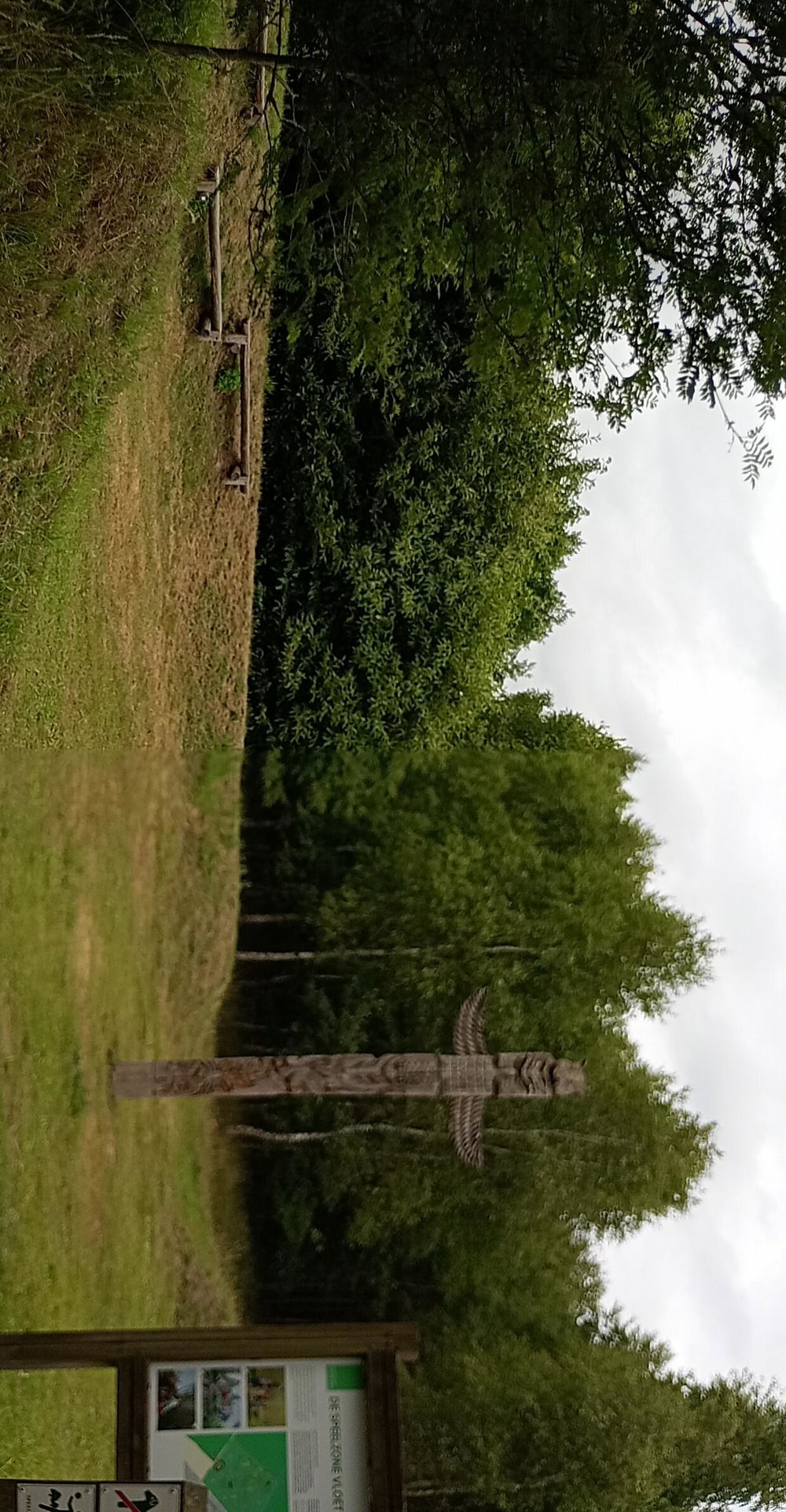
Halfway, between junctions 57 and 5, there is a picnic area with (clean) toilet facilities. A little further, at junction 4, it is worth taking a brief left before heading to junction 3.
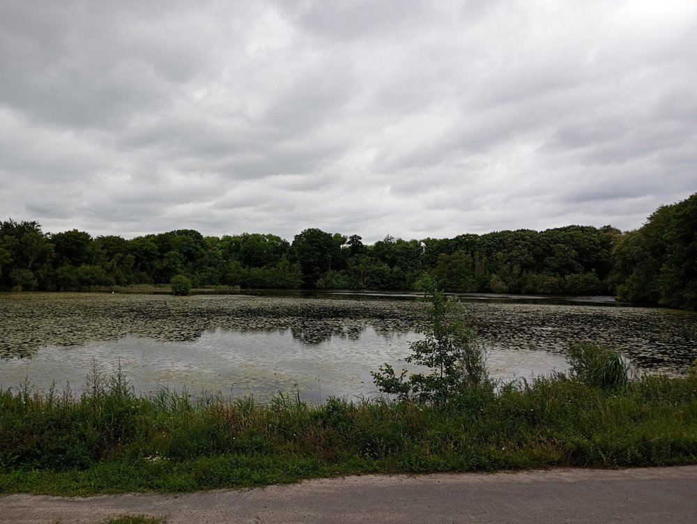
We then walk to a lookout with a view of a vast water area - and on our way there, we pass the barracks where prisoners of war were held during World War II. The artworks created by these individuals and the barracks themselves are only open to the public a few times a year.
automatic translation
 nodes to follow
0 km
0.2 km
0.7 km
1.3 km
1.5 km
2.2 km
2.3 km
2.8 km
3.6 km
5.7 km
6.5 km
8.2 km
8.5 km
9 km
9.4 km
9.4 km
10.2 km
10.4 km
11.1 km
11.1 km
11.9 km
12 km
12.6 km


 Upgrade to Premium Plus
