 Hiking
 Login
Login
 More
More
 EN
EN
 Premium
Pachis hike
automatic translation
8.8 km • Goyet
 official route
4.12315 3 4.3/5
 Addresse starting point (approximate)
Rue de Stouvia 3, 5340 Goyet
 signage
The route is not signposted. Use a GPS device or our app to follow the route through the virtual nodes.
 Description
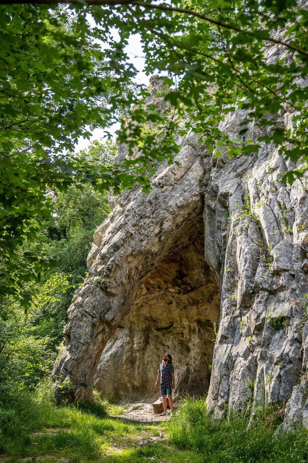
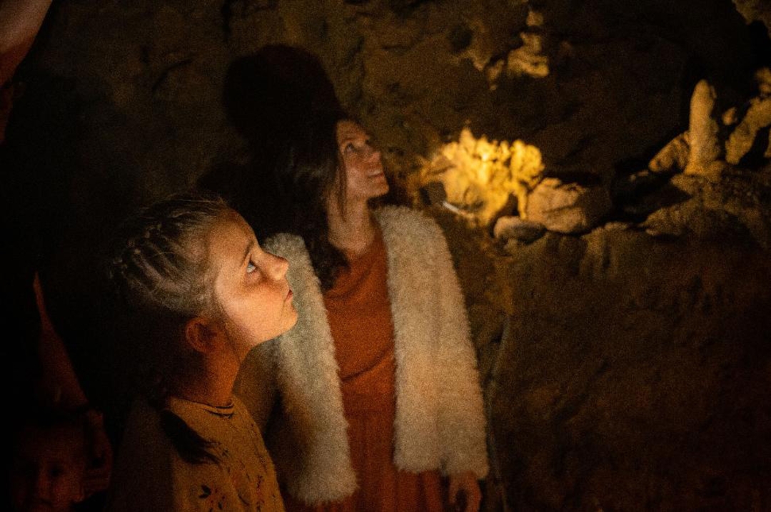
Starting from the Grottes de Goyet, a European-recognized protected natural and heritage complex with prehistoric finds, the Pachis hiking trail takes you past two of the "Most Beautiful Villages of Wallonia": Goyet (the hamlet of Mozet) and Thon (municipality of Andenne). Along the way, you will discover vast wooded areas and vast meadows between Strouvia and the valley of the Samson.
The name "Pachis" derives from the Latin pascere ("grazing") and used to refer to an enclosed meadow or orchard. This designation lives on in a small village north of Goyet, on the western slope of the Samson Valley, which you encounter during the hike.
automatic translation
 nodes to follow
0 km
2.1 km
2.9 km
4.5 km
6.2 km
8.3 km
8.8 km
Friday, February 27, 2026 by Marie DemeulemeesterBeautiful views, no cafés nearby, no toilet, lots of paved roads, some of which are quite dangerous with traffic and no sidewalk. We didn't visit the caves.
automatic translation
Monday, February 2, 2026 by Ella DevrieseVery beautiful and varied walk. Lots of ups and downs.
automatic translation
Sunday, October 19, 2025 by Alixa Schruersroute is signposted by blue diamond
automatic translation


 Upgrade to Premium Plus
