 Hiking
 Login
Login
 More
More
 EN
EN
 Premium
Berlare Scheldebroeken 16 km
automatic translation
16 km • Dendermonde
2.4436 0 0/5

 Addresse starting point (approximate)
Schoonaardebaan 55, 9200 Dendermonde, BE
 signage
The route is not signposted. Use a GPS device or our app to follow the route.
 Description
Departure: parking OLV van Zeven Weeën and Sint-Jozefkerk - Schoonaardebaan 56 - Schoonaarde or NMBS Station Schoonaarde
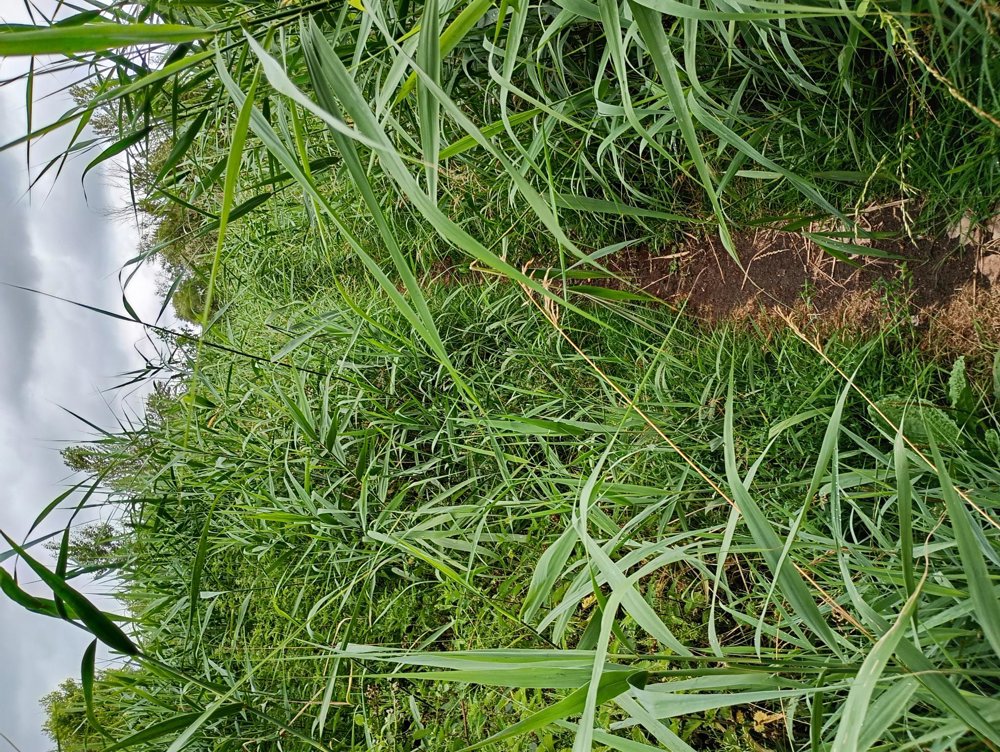
This walk is in a flood area. Some paths are designated as 'boot paths', so not recommended in wet rainy periods without proper footwear. Long trousers are also useful, as some narrow paths are overgrown with nettles. Junction signs often disappear!
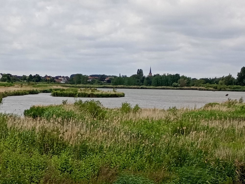
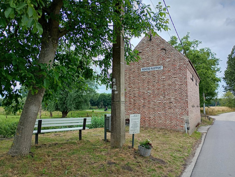
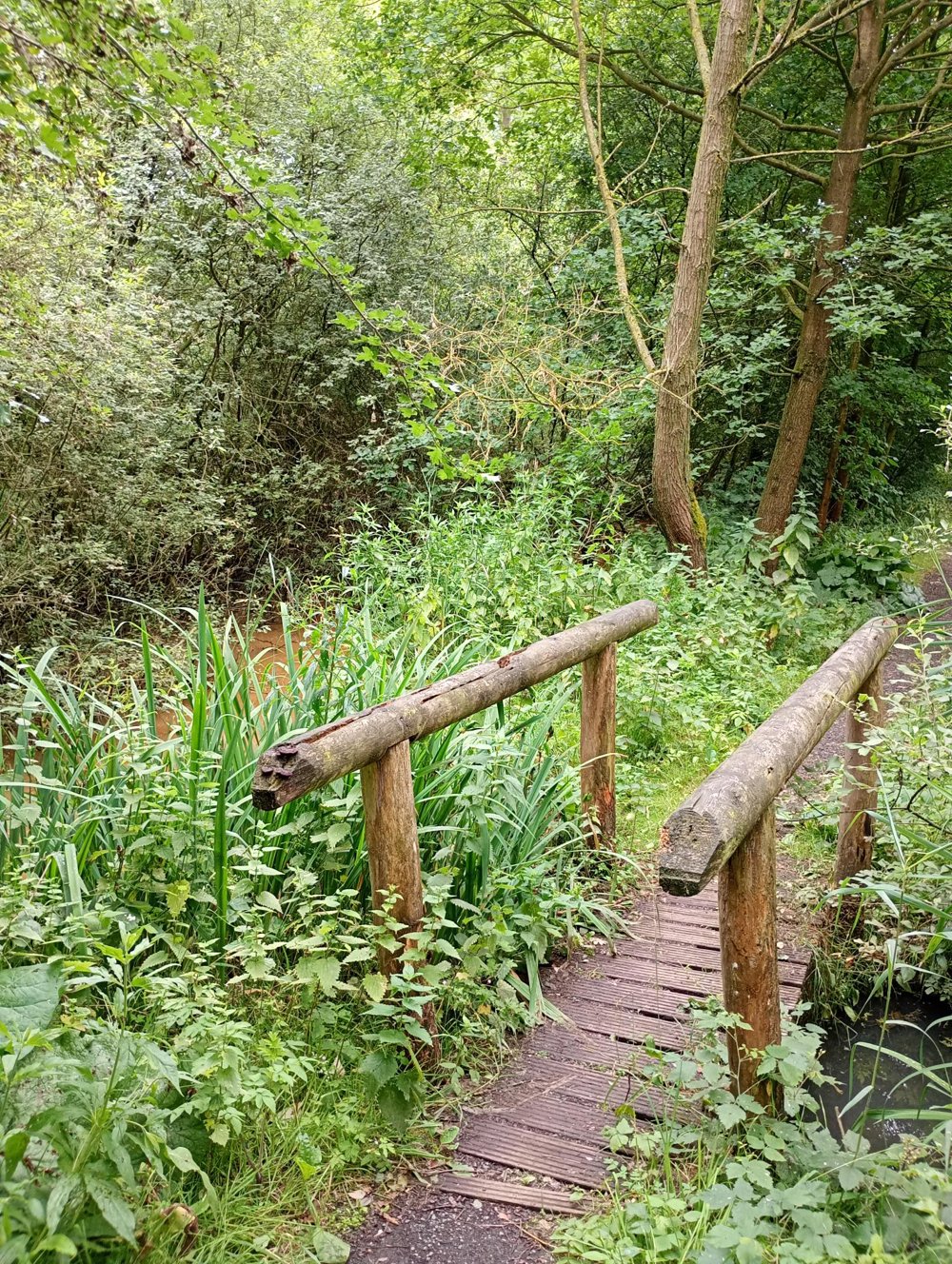
We walk through a wooded area up to Het Riekend Rustpunt. Afterwards, further into a very wet flood area. We walk through the reeds that stand almost 3 meters high in some places. Once out of this area, we walk through fields and meadows and finally along the Scheldt dike back to the starting point.
automatic translation


 Upgrade to Premium Plus
