 Hiking
 Login
Login
 More
More
 EN
EN
 Premium
Übereisenbach: between Our and Irsen
automatic translation
10.6 km • Parc Hosingen
1.7852 1 4/5

 Addresse starting point (approximate)
Haaptstrooss, 9838 Parc Hosingen, LU
 signage
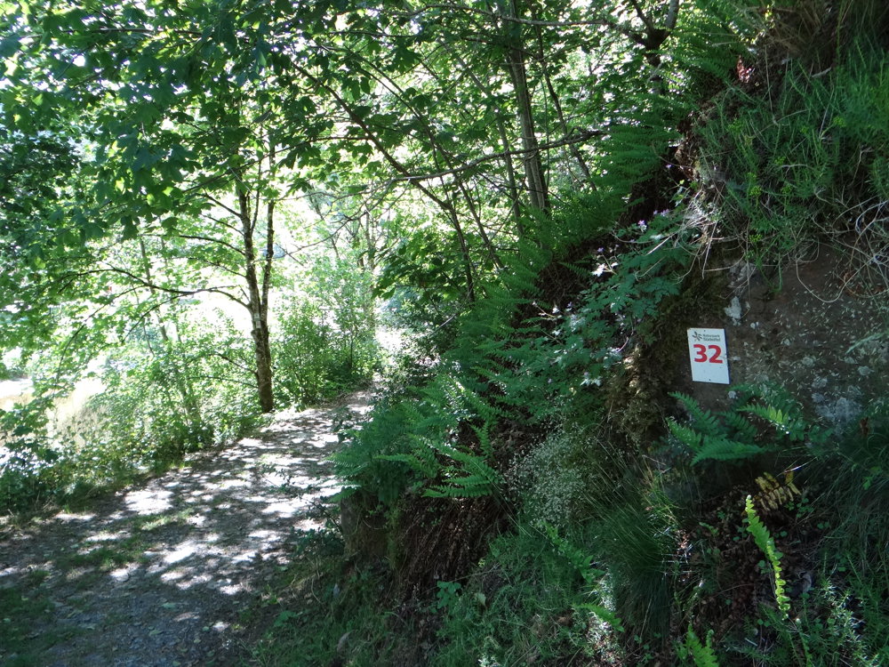
The route is fully signposted with thematic signs (no nodes).
 Description
We did this beautiful walk on 06/24/2025 (14,025 steps).
Parking is a bit difficult in Übereisenbach; we parked at the free parking lot near the bridge in Untereisenbach. Then there is a small access route.
Markers in both directions number 32. All the walks in the Naturpark Südeifel we have done so far are real gems. This one also has a high 'XXX-wow-factor'. It is a walk one 'must' have done if staying in the region.
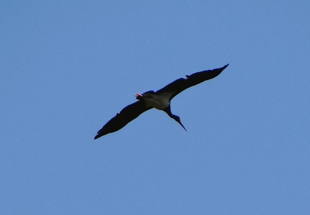
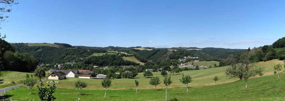
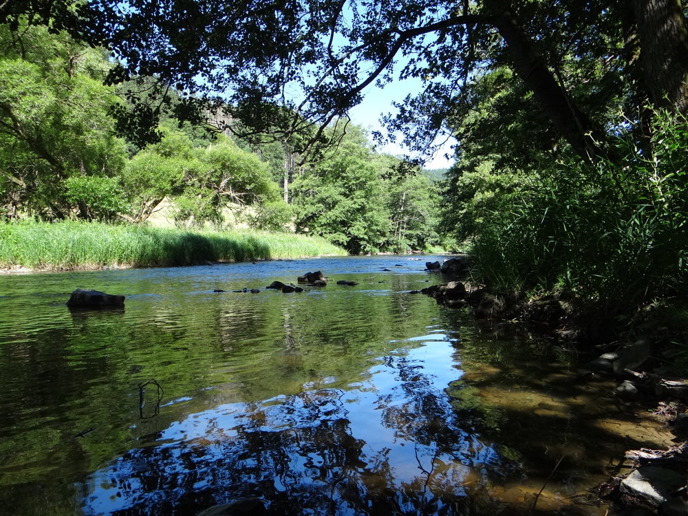
The route runs mainly through the stately forests and beautiful nature situated between the Our and Irsen valleys. You regularly get a glimpse of the surrounding scenery. Just enough to be curious about the next view. The walk is so varied that you never get bored for a moment. With a bit of luck, you might see the black stork.
More photos: https://photos.app.goo.gl/qTvQ1mhnxftzJwyJA
Happy hiking,
Eddy, Rita, and Prinske
automatic translation
Sunday, April 5, 2026 by Erik WuytensA beautiful route, perfect for casual hikers; my wife, myself, and Happy, our little dog, really enjoyed it.
automatic translation
Thursday, April 9, 2026 by Eddy & RitaThank you for your comment. Enjoy your walks!
automatic translation


 Upgrade to Premium Plus
