 Hiking
 Login
Login
 More
More
 EN
EN
 Premium
Rondje Balenberg
2.4 km • Tremelo
 official route
2.9754 0 0/5
2.4 km
0.0 km
0.0 km
route offered by
 Addresse starting point (approximate)
Sven Nys Cycling Center, Balenbergstraatje 11, 3128 Baal (Tremelo)
 signage
The route is fully signposted with thematic signs (no nodes).
© ©Toerisme Vlaams-Brabant/Lander Loeckx
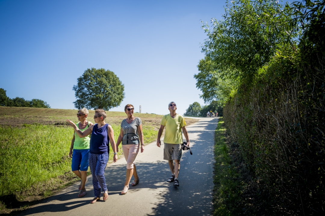
 Description
This short walk introduces you to the Balenberg nature reserve. The Balenberg is divided into two parts by a sunken road. At 45 meters high, the higher part of Balenberg is one of the highest points in Low Belgium. The lower section was best known as a venue for motocross and cyclocross races and is now home to the Sven Nys Cycling Center, the premier center for off-road cycling.
automatic translation
 nodes to follow
0 km
0.3 km
0.6 km
0.8 km
1.1 km
1.4 km
1.9 km
2.4 km


 Upgrade to Premium Plus
