 Hiking
 Login
Login
 More
More
 EN
EN
 Premium
from Bekkevoort to Scherpenheuvel
automatic translation
11.6 km • Bekkevoort
1.6281 0 0/5
11.6 km
0.0 km
0.0 km

 Addresse starting point (approximate)
Staatsbaan, 3460 Assent, BE
 signage
The route is partially signposted with nodes. Use a GPS device or our app to follow the route.
© Peter D'hont
 Description
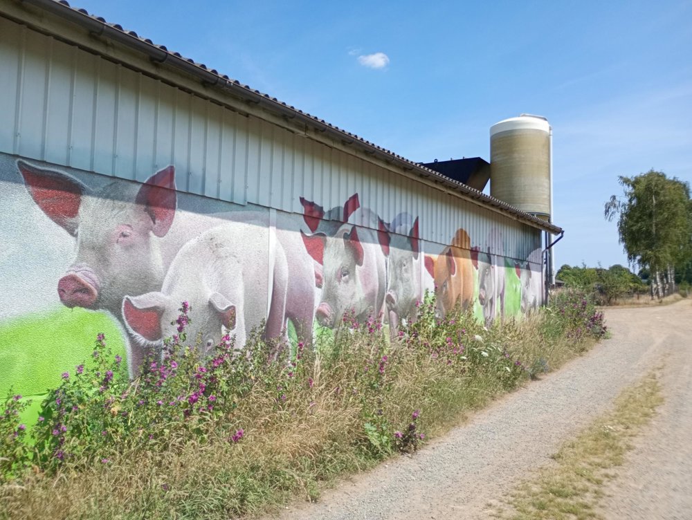
Departure: Carpool parking Staatsbaan Bekkevoort (E314/A2 exit 24)
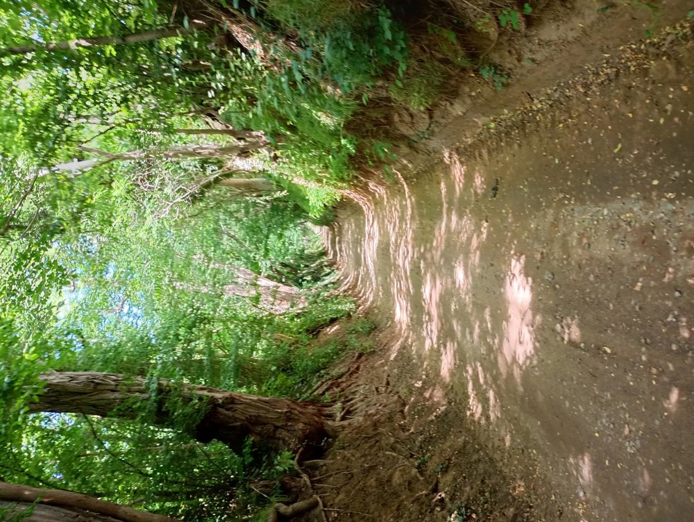
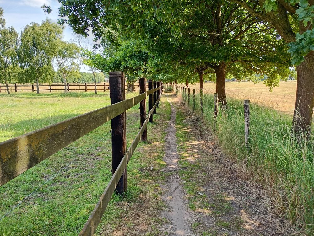
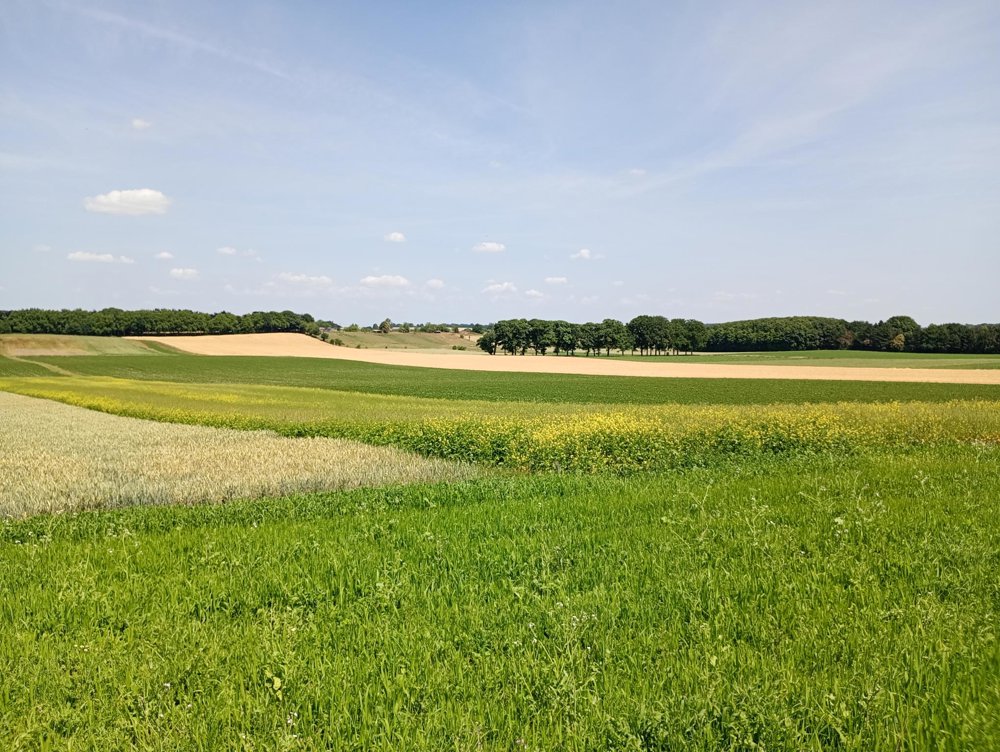
We leave the busy road behind us and walk to the Prinsenbos and then through the fields to the basilica of Scherpenheuvel. Here, a restroom stop can be made before returning to the starting point.
Beautiful fields, and for the first time in a long time, I have seen the beautiful, bright blue cornflowers in the fields again. Very beautiful walk in a quiet area.
automatic translation


 Upgrade to Premium Plus
