 Hiking
 Login
Login
 More
More
 EN
EN
 Premium
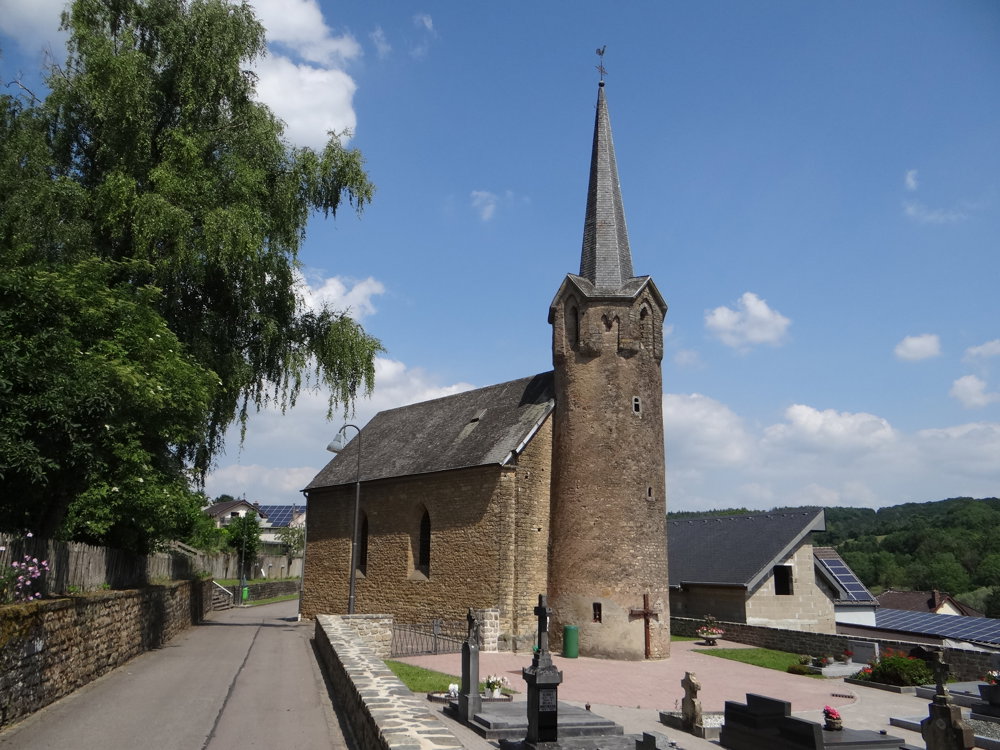
Hoesdorf: between Our and Sûre
automatic translation
8.9 km • Reisdorf
1.2430 0 0/5

 Addresse starting point (approximate)
9456 Hoesdorf, LU
 signage
The route is not signposted. Use a GPS device or our app to follow the route.
 Description
We did this border walk on 17/06/2025 (12,019 steps).
For this route, we mainly used the MTB route Bettendorf-Reisdorf and some other hiking trails. Parking is available at the separate Nikloskapell, which was unfortunately not open.
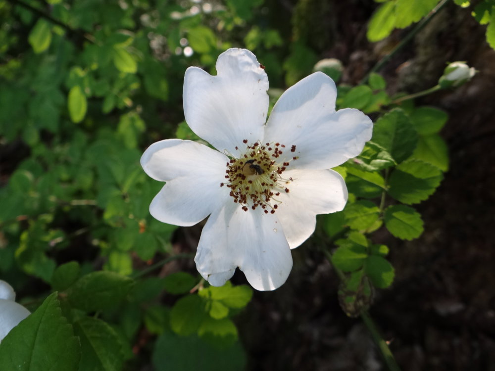
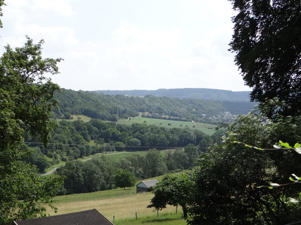
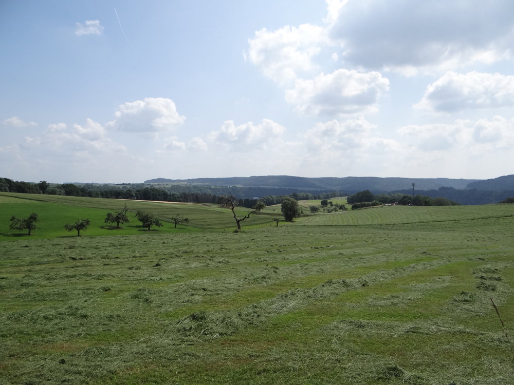
Hoesdorf is an idyllic border village located in the Our valley. You can see nothing of the river during this walk. Over a distance of 3.5 km, you climb from the valley at 204 m to 418 m above sea level. Not very strenuous, but still noticeable in the calves. You mainly walk through beautiful forests with occasional glimpses of the wide surroundings. The perfect summer walk.
This walking route goes up and down the Niderbirch, located between the Our and Sûre rivers. The Sûre is not visible either.
Those interested in wartime history will find various info boards (in German and French) to their liking here.
More photos: https://photos.app.goo.gl/Z5WYuySrHqkiCocRA
Happy hiking,
Eddy, Rita, and Prinske
automatic translation


 Upgrade to Premium Plus
