 Hiking
 Login
Login
 More
More
 EN
EN
 Premium
The valleys of the Halerbaach and the Haupeschbaach
automatic translation
8.7 km • Beaufort
1.4972 0 0/5

 Addresse starting point (approximate)
Grand-Rue 85, 6310 Beaufort, LU
 signage
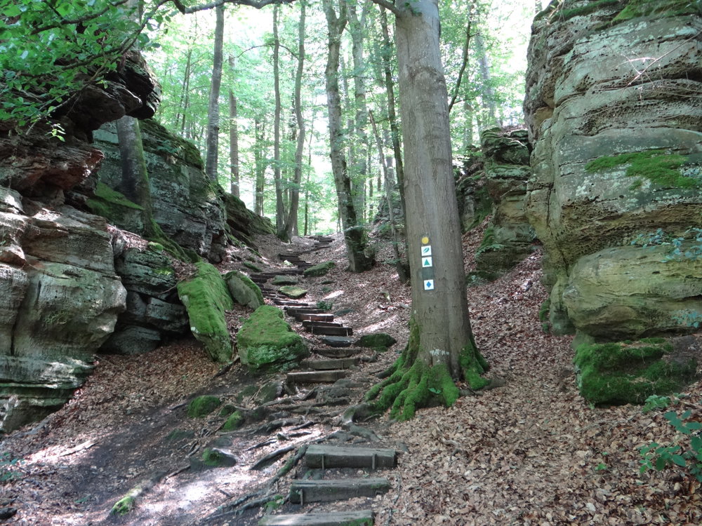
The route is fully signposted with thematic signs (no nodes).
 Description
We did this adventurous walk on 06/16/2025 (11,720 steps).
This route is the auto-pédestre Beaufort. It is marked in both directions with a blue diamond on white. The starting point is from the spacious parking lot at Campingpark Beaufort.
The first 3 km takes you through Beaufort and between the fields towards the forest. You stay in the forest until you are back in Beaufort.
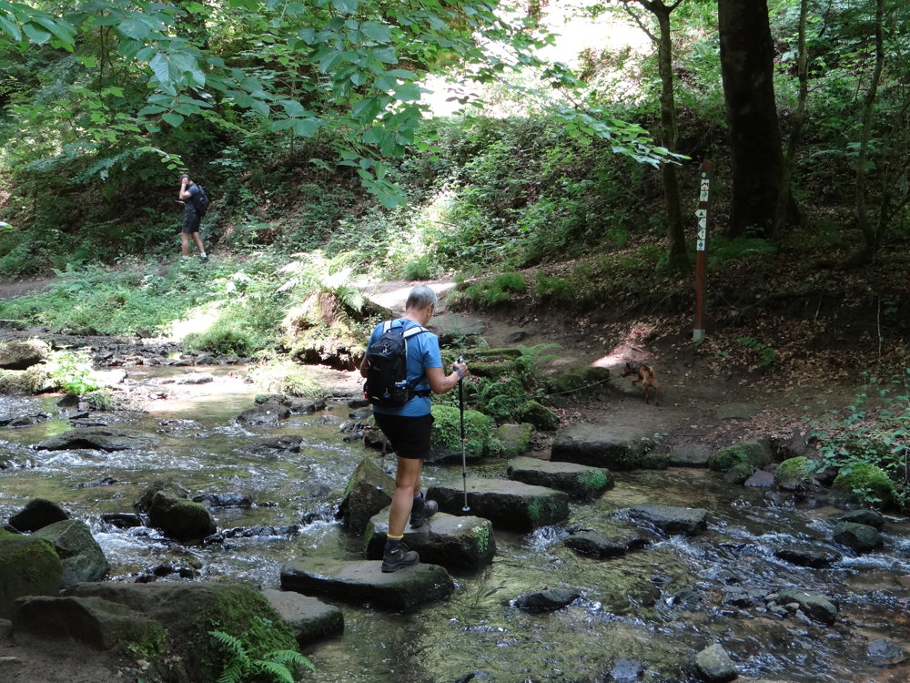
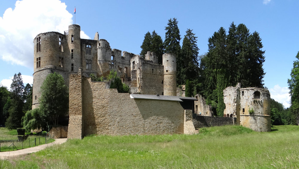
Slowly but surely, you descend into the idyllic valley of the Halerbaach, a fast-flowing stream, after which the walk continues into the valley of the Haupeschbaach, which leads you to the castle of Beaufort.
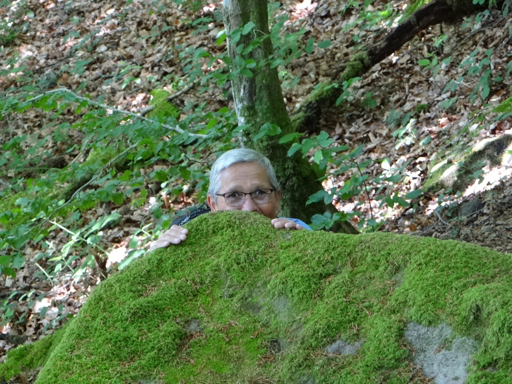
Meanwhile, you can fully enjoy the beautiful nature, the adventurous narrow rock paths, stepping stones, wooden bridges, and rugged rock formations.
On this popular route, you will meet many walkers. The hike is perfect to combine with a visit to the castle of Beaufort.
More photos: https://photos.app.goo.gl/TkutHcPXVEPYTSCV6
Happy hiking,
Eddy, Rita, and Prinske
automatic translation


 Upgrade to Premium Plus
