Loading...

Bray-Dunes (France)

automatic translation

11.8 km • Nord

3.09015 1 4.5/5

11.8 km 0.0 km 0.0 km

route offered by

Sarah wandel.hike.belgië

Icon starting point Addresse starting point (approximate)

Rue De Valenciennes 143, 59123 Zuydcoote, FR
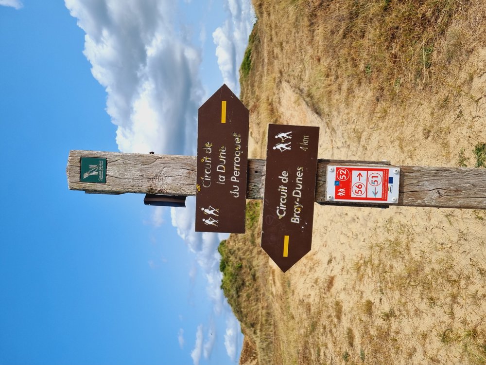
Icon type signage of route signage

The route is fully signposted with nodes.

5m 5m 5m 5m
Atmosphere image 1 of route Bray-Dunes (France) Atmosphere image 2 of route Bray-Dunes (France) Atmosphere image 3 of route Bray-Dunes (France)
© Sarah wandel.hike.belgië

Icon description route Description

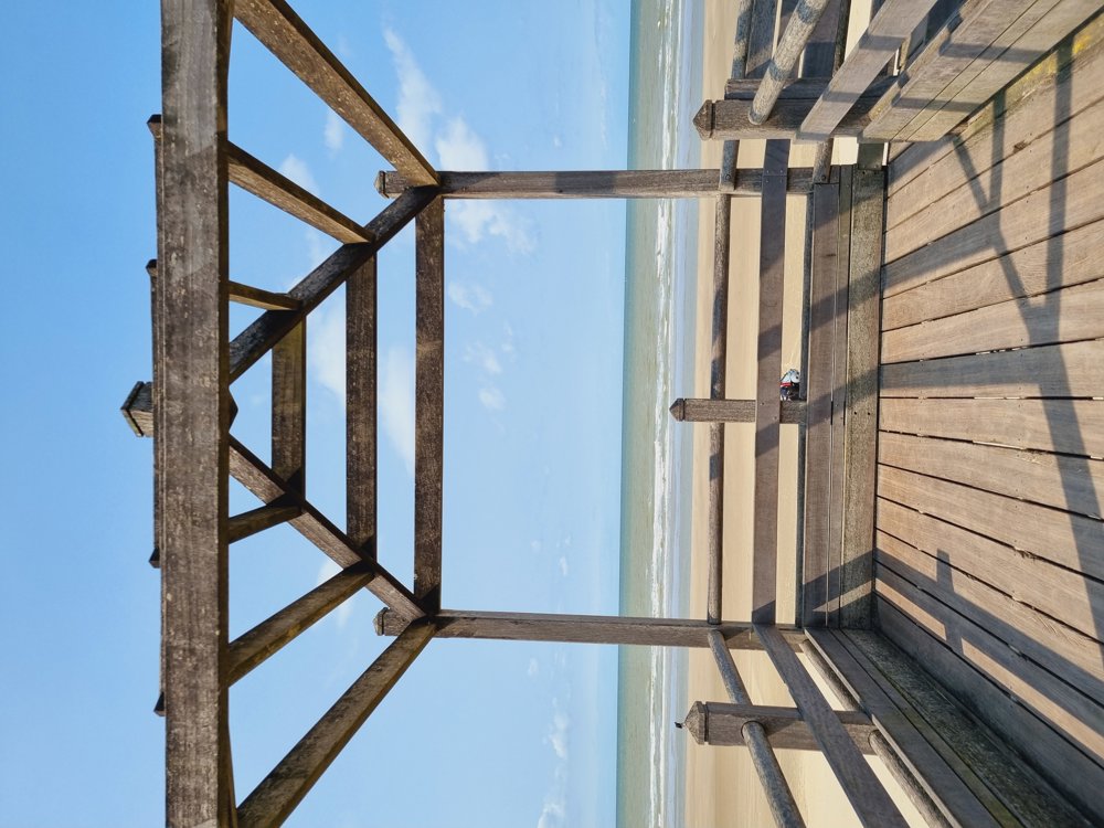
🌊Walk in Bray-Dunes🌊🐚

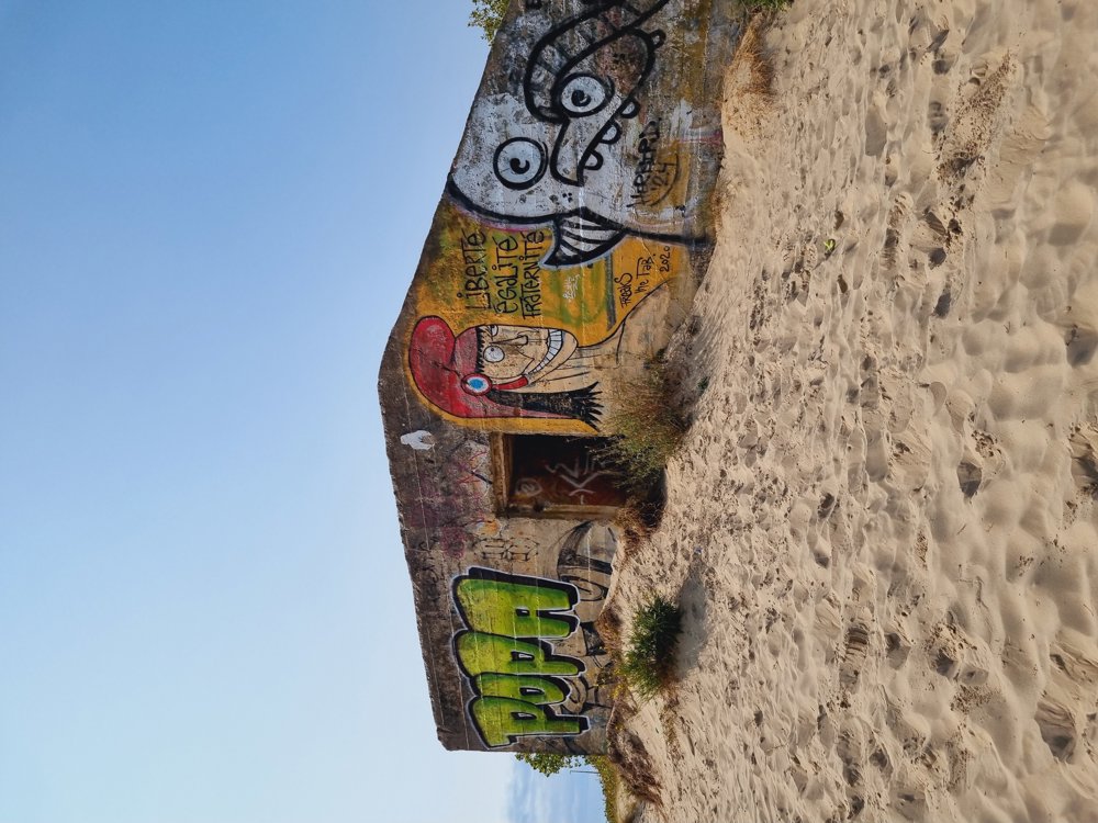
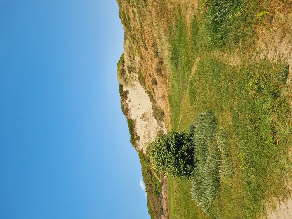
Lovely walk in this quiet coastal town where there is no mass tourism.

However, it's quite a workout. So be prepared 😉 The sand dunes are truly impressive 👌

Definitely one to do this spring/summer.

Have fun 👋👋

ℹ️ Info: Signposted via junction points:

🔢 20-12-15-11-9-8-57-54-52-56-57-8-10-14-18-17-19-20 (Gpx recommended, signs are sometimes missing or have disappeared)

👩‍🏫 My rating: 8.5/10

🐾 Dogs allowed, on a leash
👶🏻 Not stroller-friendly

☕️ Cafés along the seafront
Tip: Try the pancakes at 'La Favorite', Zeedijk 420

🅿️ Parking on rue de Wattrelos, Zuydcoote (France)

automatic translation

Icon nodes to follow nodes to follow

Image node 20
0 km
Image node 12
1 km
Image node 15
1.2 km
Image node 11
1.7 km
Image node 9
1.9 km
Image node 8
2.4 km
Image node 57
3 km
Image node 54
3.8 km
Image node 52
4.8 km
Image node TP
4.9 km
Image node 56
5.9 km
Image node 57
7.9 km
Image node 8
8.5 km
Image node 10
9 km
Image node 14
10 km
Image node 18
10.7 km
Image node 17
10.7 km
Image node 19
11.3 km
Image node 20
11.8 km
This route has 1 review(s).
Rate route!

Thursday, September 4, 2025 by Maria Maesbeautiful route 🤗
automatic translation

Sunday, October 12, 2025 by Sarah wandel.hike.belgiëThank you Maria🙂👍
automatic translation

Which POI do you want to show on the map?

Experimental hiking network
Unsigned icon

The route you have chosen runs (partly) along an experimental virtual hiking node network (the blue-coloured nodes and sections on the map).

You must be logged in to plan routes here.

Experimental hiking network
Unsigned icon

The route you have chosen runs (partly) along an experimental virtual hiking node network (the blue-coloured nodes and sections on the map).

These routes are not controlled in the field. Before you start hiking here, take a minute to read what an experimental hiking node network is and what rules you should follow when hiking here.