
 Hiking
 Login
Login
 More
More
 EN
EN
 Premium
Sassenbeekwandeling
7.4 km • Tielt-Winge
 official route
4.6375 7 3/5
route offered by

 Addresse starting point (approximate)
Gempemolen, Gempstraat 56, 3390 Sint-Joris-Winge (Tielt-Winge)
 signage
The route is signposted with thematic signs (no nodes). You can use a GPS device or our app to follow the route through the virtual nodes.
 Description
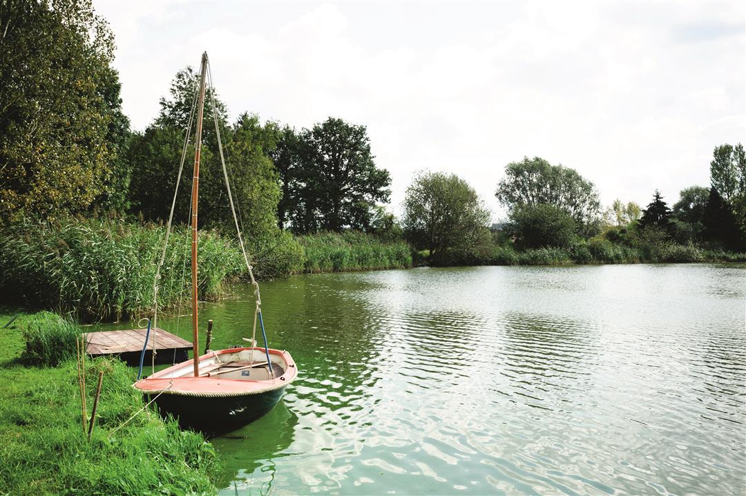
As far back as the Middle Ages, the Molenbeek, the Sassenbeek, and the Kraaiwinkelbeek fed the reservoir ponds of the Gempemolen. The history of this protected watermill dates back to the 13th century, and today it serves as a cozy brasserie in the Troostemberg Forest. From here, you’ll walk onto the plateau between Sint-Joris-Winge and Lubbeek, where you can enjoy panoramic views of the Hageland landscape.
Before you set out: This is a walk on a virtual hiking network. The junctions are not marked on the ground. Follow the hexagonal red-and-white signs bearing the name of the hike.
Please note: The small bridge over the Kraaiwinkelbeek between junction points 238 and 549 is in very poor condition and therefore extremely dangerous. No specific plans for repairs have been made yet.
automatic translation
 nodes to follow
0 km
0.1 km
0.9 km
1.7 km
1.8 km
2.2 km
3.6 km
4.2 km
4.8 km
6.3 km
7.1 km
7.2 km
7.4 km
Sunday, April 12, 2026 by M.J.The ponds and the sunken road in Sassenbroek were beautiful, but the little bridge still hasn't been repaired.
automatic translation
Tuesday, November 11, 2025 by N.L.Anno 2025, this hike is virtually inaccessible because the bridge has collapsed. Because of strong currents, it is impossible to pass here.
automatic translation
Tuesday, March 8, 2022 by V.M.Wonderful start from the Gempemolen, through the forest, hollow roads, over bridges. Then followed by paved field roads, quiet, with beautiful views. 2 x busy road crossing. Clear signage.
automatic translation
Saturday, November 7, 2020 by lieve de brabandereA beautiful region indeed. Only, the walk is interrupted from the beginning because some selfish (rich) citizens have usurped the road for their horse pastures. You can't continue from the Boterveldstraat! So you have to turn right around and take the Kareelweg, which brings down the whole hike.
automatic translation
Tuesday, October 20, 2020 by Luc WullaertBeautiful walk with nice views. Lost the route though..... sign missed or disappeared ? Then after some searching I switched to a hike from natuurpunt (Spicht). After more than an hour of wandering we got back on the Sassenbeek trail. We'll try again soon ;-)
automatic translation
Monday, August 17, 2020 by A.B.Nice walk, alternating forest-field and concrete roads. On some pictures the name (Sassenbeek) is very unclear or not present at all.
automatic translation
Tuesday, June 9, 2020 by Paul Van HoovelsBeautiful route along the fields and forests. Numerous fields of wildflowers.
automatic translation



 Upgrade to Premium Plus


