 Hiking
 Login
Login More
More EN
EN Premium
Sassenbeek Walk
automatic translation
7.4 km • Tielt-Winge
 official route
1.7121 5 3.5/5
route offered by
 Addresse starting point (approximate)
Gempemolen, Gempstraat 56, 3390 Sint-Joris-Winge (Tielt-Winge)
 signage
The route is partially signposted with nodes. Use a GPS device or our app to follow the route through virtual nodes.
 Description
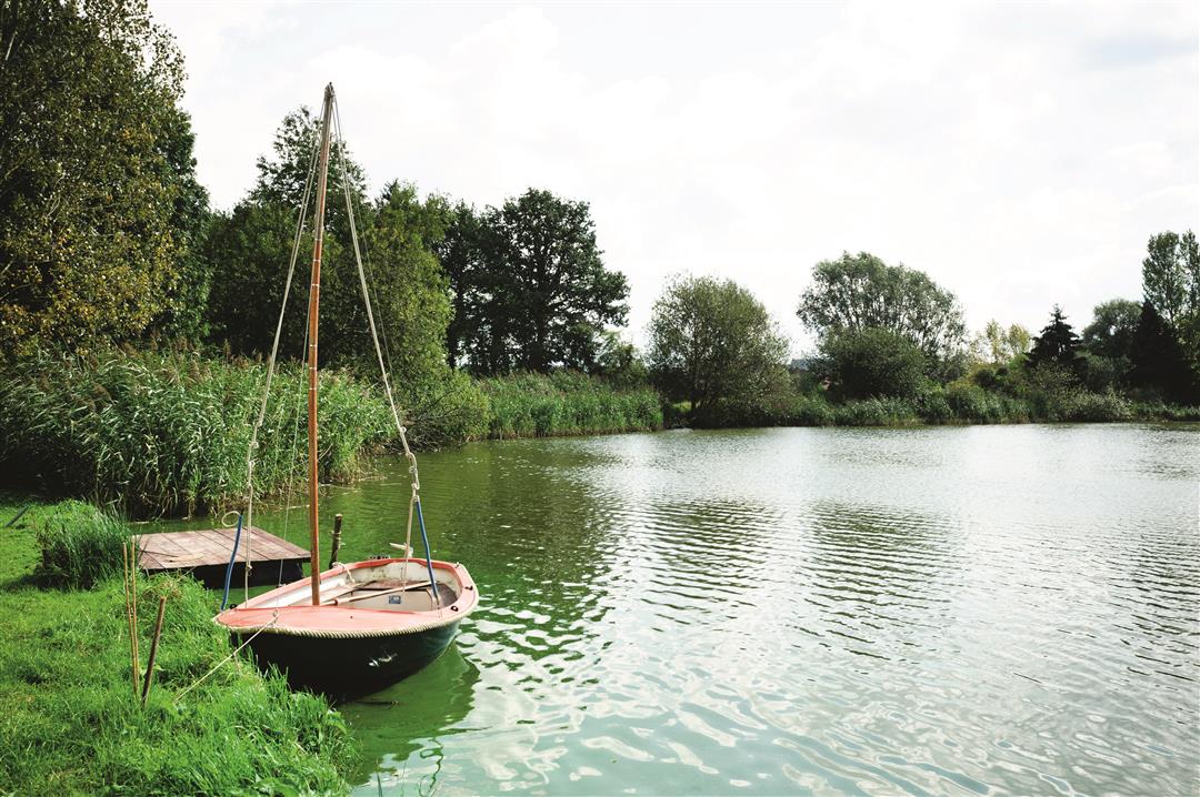
You start at the beautifully restored and monument-protected Gempemolen, a 13th century water mill that is now a beautiful brasserie, where you continue walking along a number of larger streams that all converge here. You then trek up the plateau with beautiful views of the Hageland landscape.
NOTE: This is a hike on a virtual hiking network. The nodes are not signposted on the property. Follow the 6-sided red and white signs with the name of the hike.
This hike is offered by Tourism Flemish Brabant.
automatic translation
 nodes to follow
0 km
0.1 km
0.9 km
1.7 km
1.8 km
2.2 km
3.6 km
4.2 km
4.8 km
6.3 km
7.1 km
7.2 km
7.4 km
Tuesday, March 8, 2022 by V.M.Wonderful start from the Gempemolen, through the forest, hollow roads, over bridges. Then followed by paved field roads, quiet, with beautiful views. 2 x busy road crossing. Clear signage.
automatic translation
Saturday, November 7, 2020 by lieve de brabandereA beautiful region indeed. Only, the walk is interrupted from the beginning because some selfish (rich) citizens have usurped the road for their horse pastures. You can't continue from the Boterveldstraat! So you have to turn right around and take the Kareelweg, which brings down the whole hike.
automatic translation
Tuesday, October 20, 2020 by Luc WullaertBeautiful walk with nice views. Lost the route though..... sign missed or disappeared ? Then after some searching I switched to a hike from natuurpunt (Spicht). After more than an hour of wandering we got back on the Sassenbeek trail. We'll try again soon ;-)
automatic translation
Monday, August 17, 2020 by A.B.Nice walk, alternating forest-field and concrete roads. On some pictures the name (Sassenbeek) is very unclear or not present at all.
automatic translation
Tuesday, June 9, 2020 by Paul Van HoovelsBeautiful route along the fields and forests. Numerous fields of wildflowers.
automatic translation


 Upgrade to Premium Plus
