 Hiking
 Login
Login
 More
More
 EN
EN
 Premium
Weiswampach: Nature Trail Conzefenn
automatic translation
8.2 km • Weiswampach
2.8107 0 0/5

 Addresse starting point (approximate)
Wéilwerdangerstrooss, 9990 Breidfeld, LU
 signage
The route is not signposted. Use a GPS device or our app to follow the route.
 Description
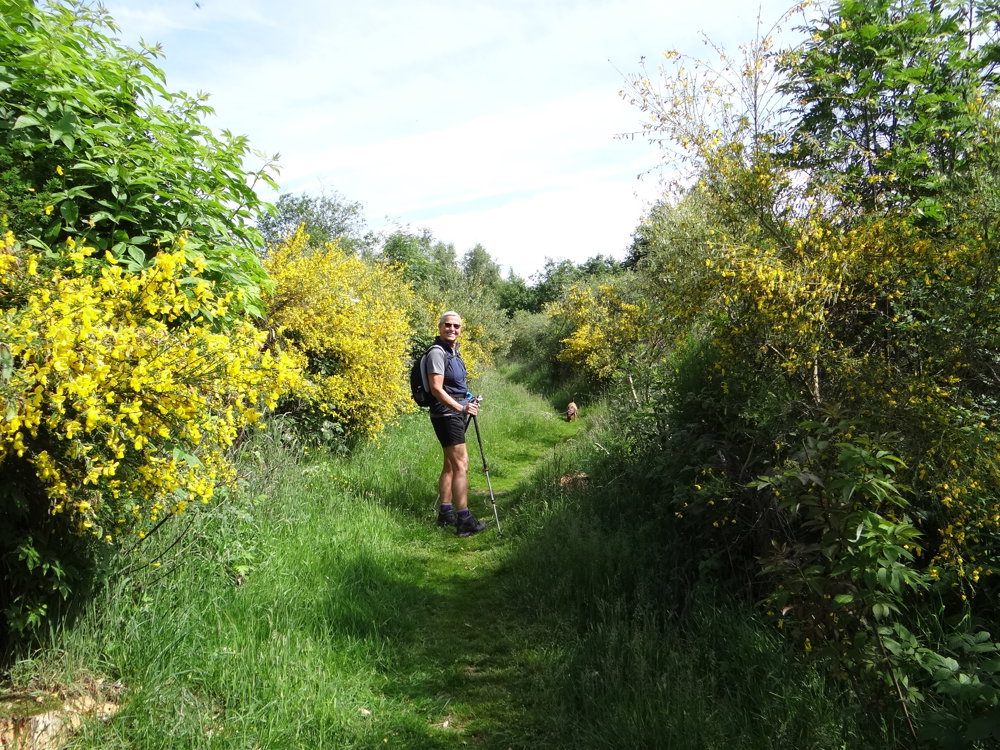
We did this nature walk on 06/11/2025 (10,748 steps).
The markings are not present everywhere, so it's best to take something to navigate with.
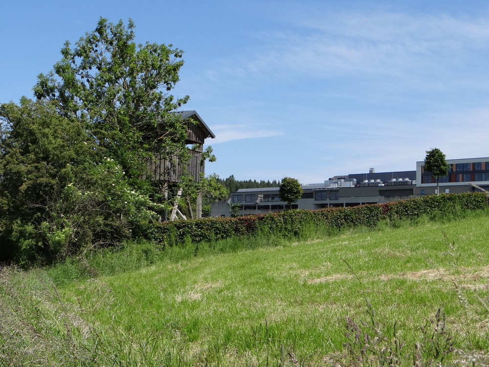
For us, this walk was a bit double-edged. On the one hand, there is the beautiful nature and on the other hand, there is the view of a large hotel and the Massen shopping center, which is located almost right on the Belgium/Luxembourg border. From the shopping center, there is a path to the route. Maybe combine walking and shopping?
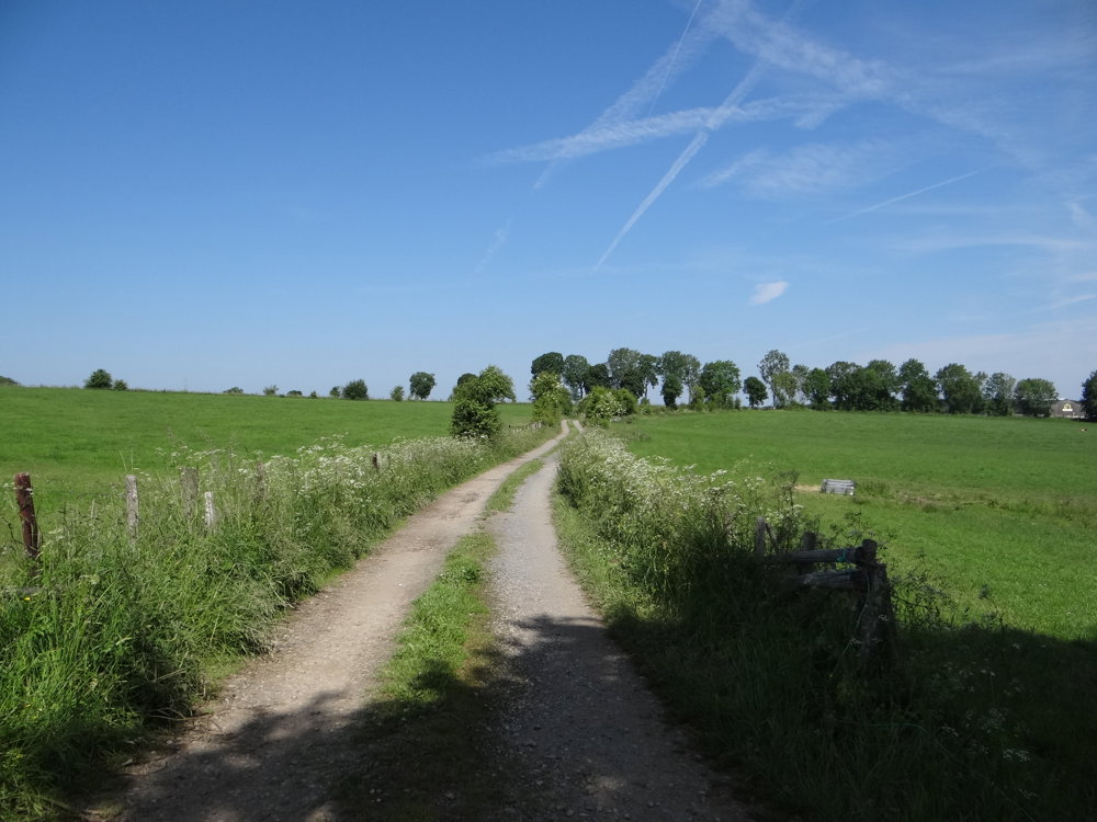
We walked the route clockwise to have the 400 meters along the (low-traffic) road behind us. Halfway through, one goes a short way along the N12. There is a path where one can safely walk.
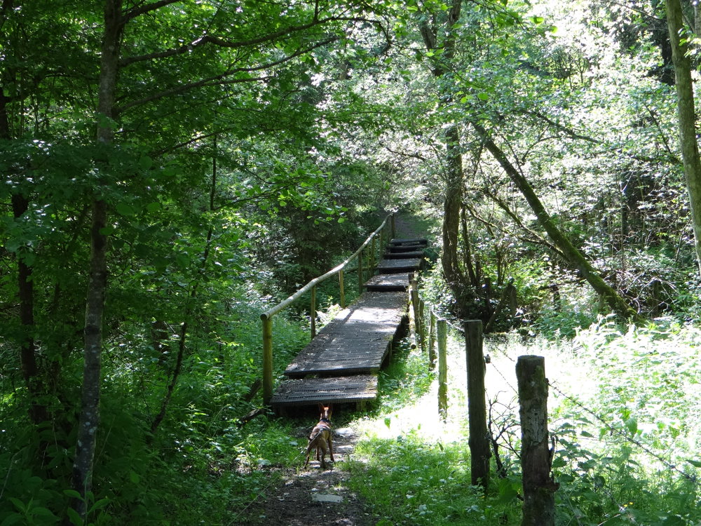
Along the way, you deviate slightly from the route a few times. Definitely do it! You'll find boardwalks amid the beautiful nature underfoot. You also pass by the lakes of Weiswampach.
All in all, a nice nature walk.
More photos: https://photos.app.goo.gl/Yy2jHLkNJV93fucc8
Happy walking,
Eddy, Rita, and Prinske
automatic translation


 Upgrade to Premium Plus
