 Hiking
 Login
Login
 More
More
 EN
EN
 Premium
Kautenbach combination trails
automatic translation
7 km • Kiischpelt
1.5472 0 0/5

 Addresse starting point (approximate)
Duerfstrooss, 9663 Kiischpelt, LU
 signage
The route is not signposted. Use a GPS device or our app to follow the route.
 Description
We took this delightful walk on 10/06/2025 (9686 steps).
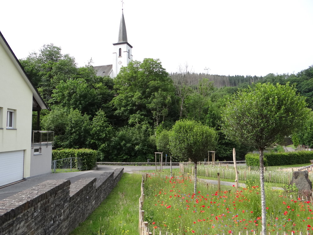
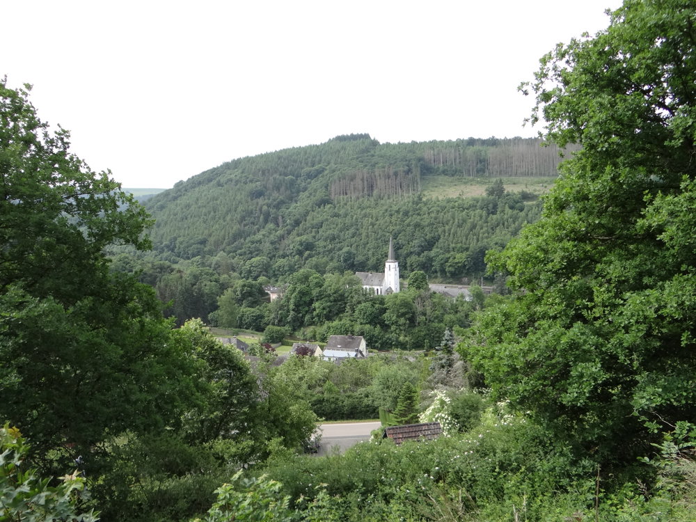
Always on the lookout for new paths not yet explored by us, we found some trails and made a loop walk with them. This time we combined the 'Sentier du Nord' and the 'Escapardenne Eisleck' trails with some marked routes and made a lovely loop with lots of nature, some sights, and beautiful views.
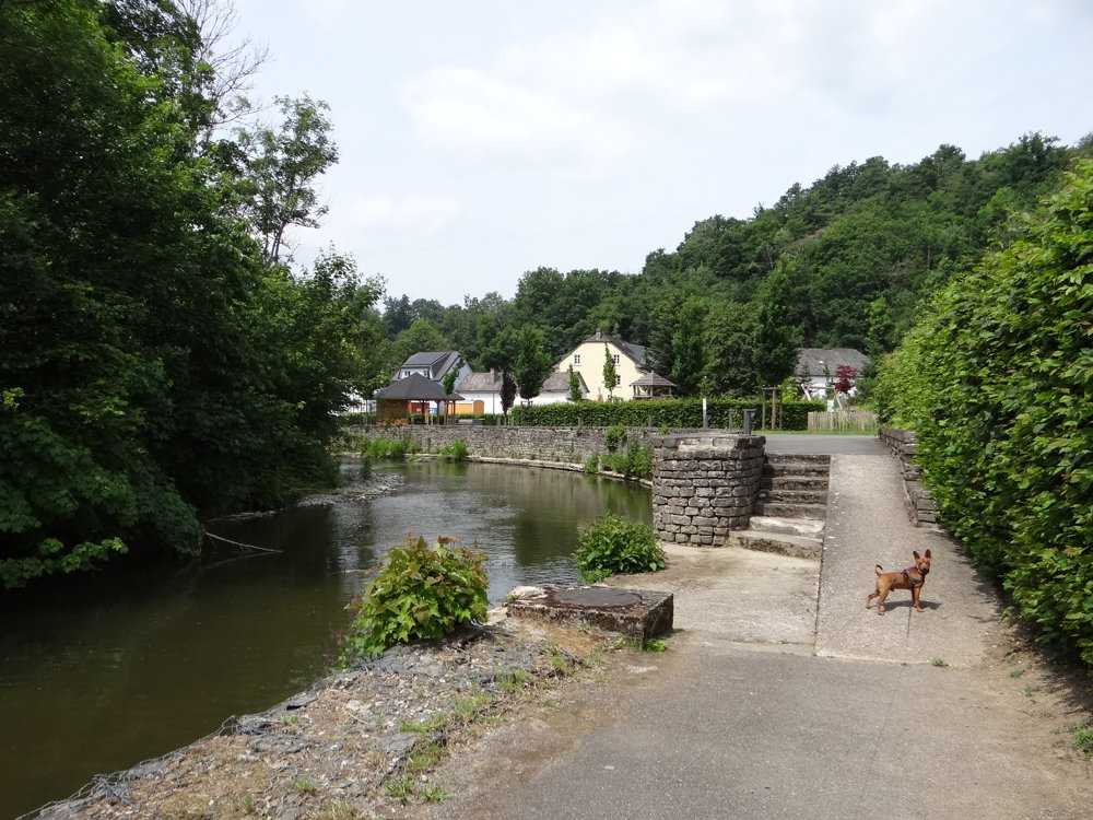
The route starts and ends at the free parking lot in the picturesque village of Kautenbach, which is nestled deep in the valleys of Wiltz and Clerve. Fans of public transport can take the free train to Kautenbach and, with a 1 km lead-in route, do the walk.
Sights are:
- the beautiful nature
- the Hädschend viewpoint
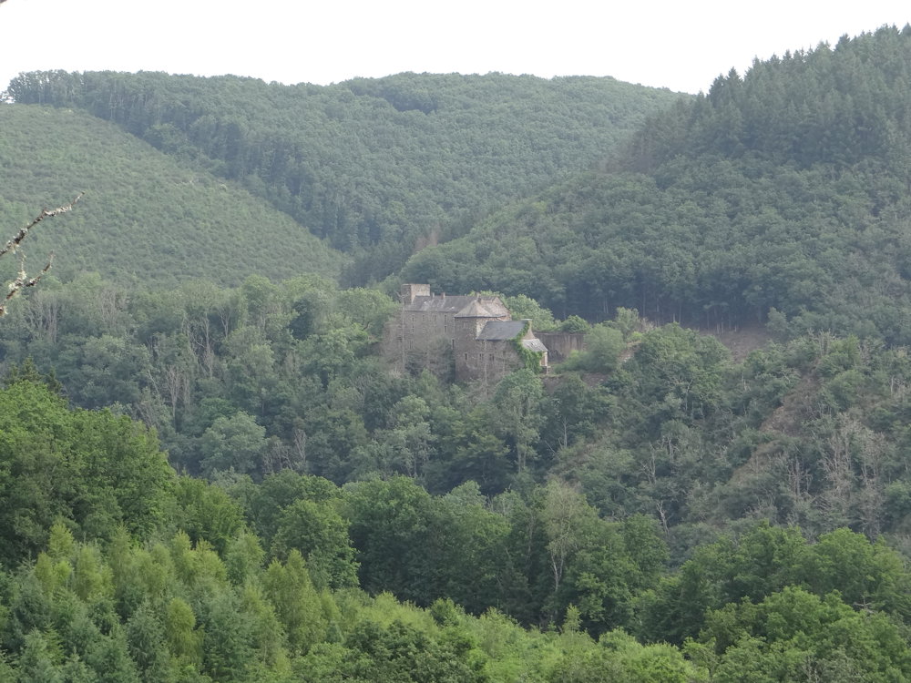
- the Schüttbuerger Millen (private, not visitable)
- the Schüttbuerg (private, not visitable)
- the valleys of Wiltz and Clerve
More photos: https://photos.app.goo.gl/qePqhbUVcr2pTbGu8
Happy hiking,
Eddy, Rita, and Prinske
automatic translation


 Upgrade to Premium Plus
