 Hiking
 Login
Login
 More
More
 EN
EN
 Premium
Mullerthal Trail ExtraTour C
automatic translation
9.3 km • Bech
2.5073 0 0/5

 Addresse starting point (approximate)
Heeschbregerwee 1, 6225 Altrier, LU
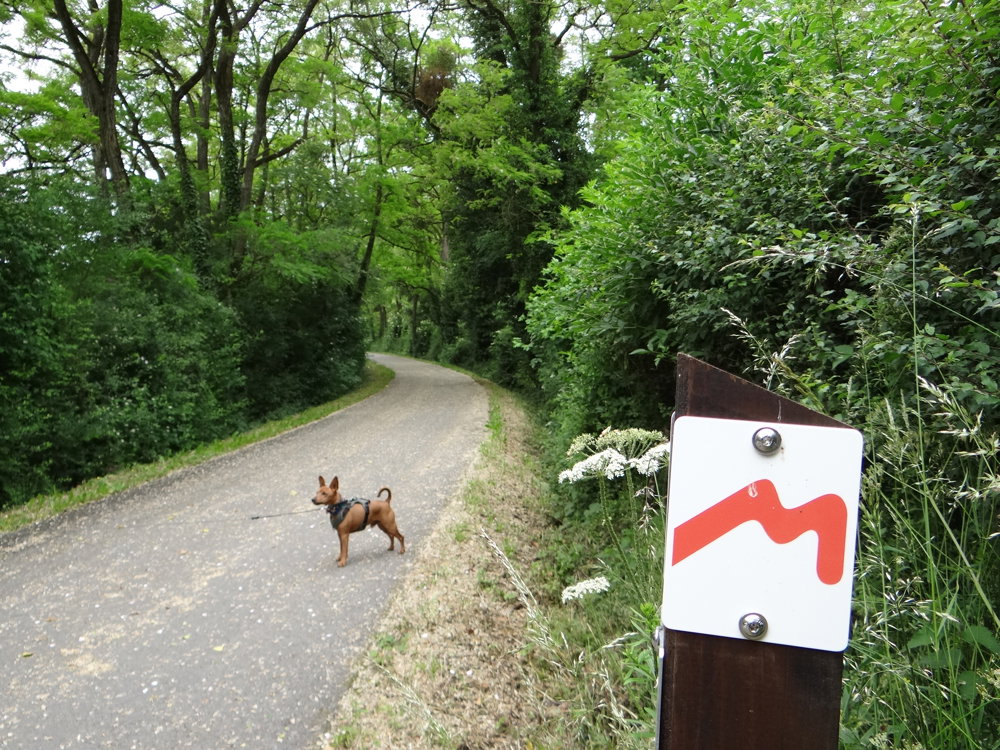
 signage
The route is fully signposted with thematic signs (no nodes).
 Description
We did this walk on 06/04/2025 (12,611 steps).
The Mullerthal Trail ExtraTour C is an additional hiking route that connects the villages of Bech and Altrier with the main route of the Mullerthal Trail.
Starting & Ending Point: The walk starts and ends in Bech (Becher Gare) or Altrier (Center).
Attractions:
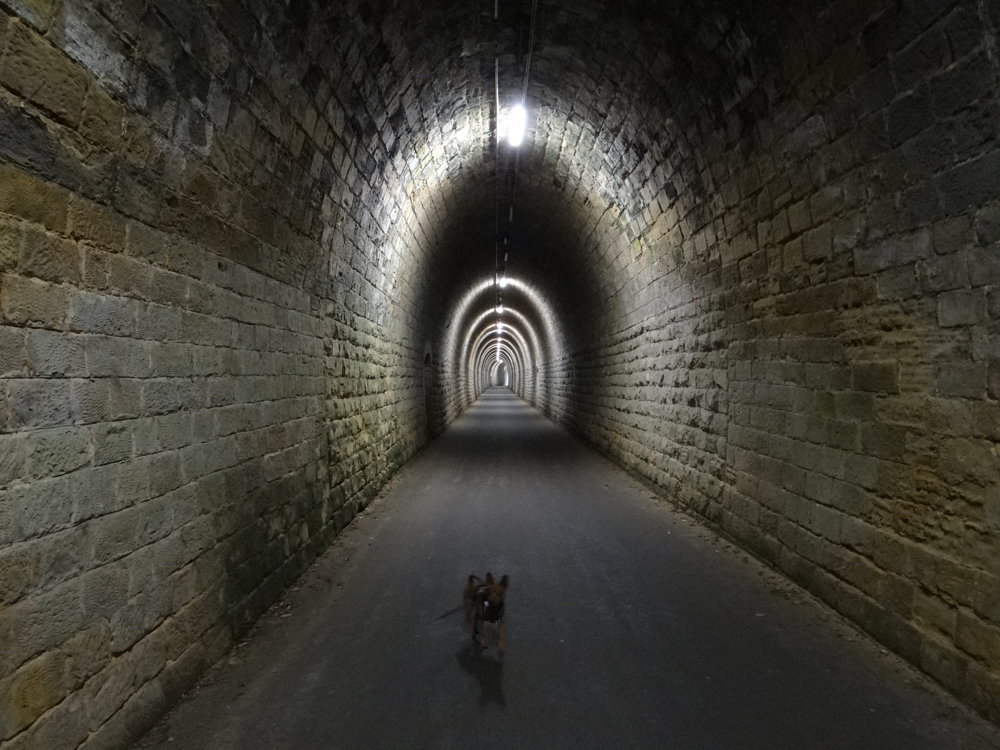
- Becher Gare: An old station in Bech, near a 300-meter-long railway tunnel.
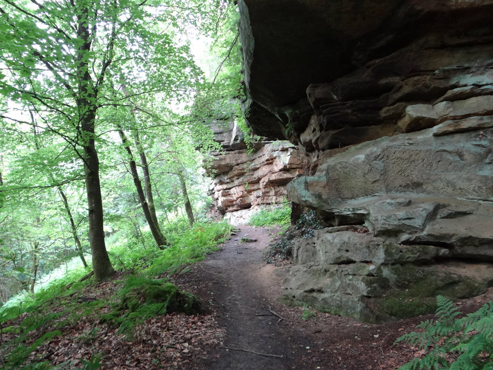
- Panoramic views: Between Bech and Altrier there are stunning vistas over the area of the lower Sûre and the Moselle.
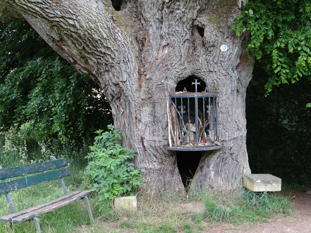
- Historical and natural sites: The route passes by an ancient burial mound (tumulus) and the natural monument 'Bildchen', an approximately 500-year-old oak tree.
This route is perfect for those who want to explore the region more deeply or are looking for an extra walk in addition to the three main routes of the Mullerthal Trail.
More photos: https://photos.app.goo.gl/3FJtyxGbxq1BKhD29
Enjoy your walk,
Eddy, Rita, and Prinske
automatic translation


 Upgrade to Premium Plus
