
 Hiking
 Login
Login
 More
More
 EN
EN
 Premium
Torendraaierswandeling
5.6 km • Kortenaken
 official route
1.7390 1 2/5
route offered by

 Addresse starting point (approximate)
Parking sporthal De Vreun, Grote Vreunte 57B, 3473 Waanrode (Kortenaken)
 signage
The route is signposted with thematic signs (no nodes). You can use a GPS device or our app to follow the route through the virtual nodes.
 Description
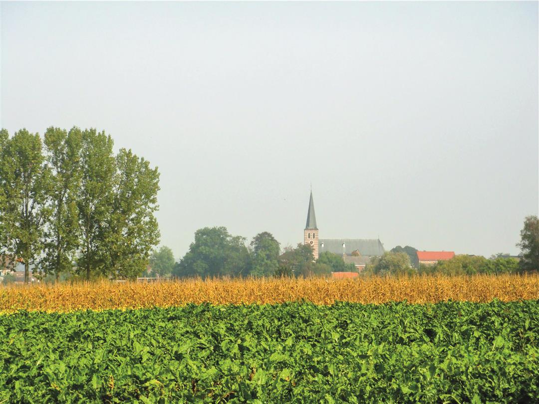
Discover the rural village of Waanrode, long known as “the flower village.” The residents of Waanrode still love to literally put their flowers on display, making it a very colorful village. And what’s the story behind that strange statue at the church in Waanrode? It depicts the nickname given to the residents of Waanrode: the “tower turners.” The new Vruenpark at the end of the route is the ideal spot for a picnic and some relaxation.
Before you set out: This is a walk on a virtual walking network. The junctions are not marked on the ground. Follow the hexagonal red-and-white signs bearing the name of the walk.
automatic translation
 nodes to follow
0 km
1 km
1.3 km
2 km
4 km
4.4 km
5.1 km
5.6 km
Sunday, July 26, 2020 by D.C.Way too much along the course, many signs wrong direction, broken or just hanging loose on the pole. At the end we nicely followed the sign, at the intersection we saw nothing, saw the church again and on the way we came across the last sign at the wrong intersection.... This route desperately needs to be reviewed.
automatic translation



 Upgrade to Premium Plus


