 Hiking
 Login
Login
 More
More
 EN
EN
 Premium
Irrel Waterfall and Prümerburg
automatic translation
10.9 km • Eifelkreis Bitburg-Prüm
2.7252 0 0/5

 Addresse starting point (approximate)
Irreler Straße, 54666 Irrel, DE
 signage
The route is fully signposted with thematic signs (no nodes).
 Description
We did this walk on 02/06/2025 (14,309 steps).
This route is a combination of two marked routes. It's best to simply follow the app or take a map with you.
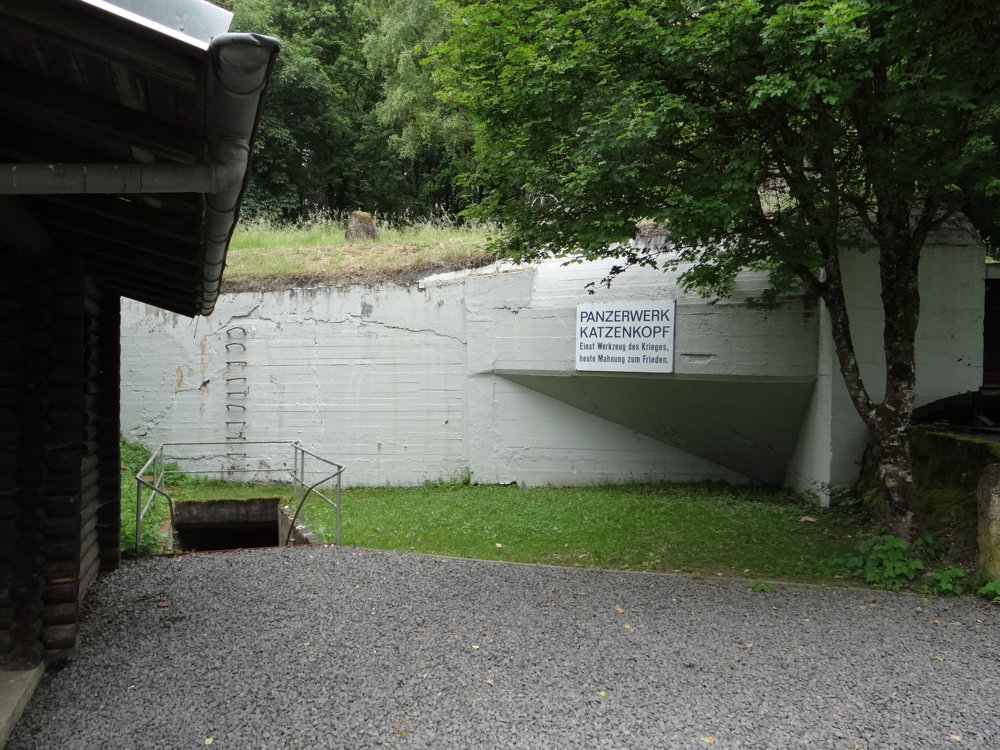
Parking is available at the Irrel Waterfall, where there is a spacious, free parking lot. We walked the route counterclockwise and came via a small climb past the Westwall Museum Irrel. The bunker 'Katzenkopf', built from 1937 to 1939, is the northernmost and today the only bunker of the former 'Westwall' that can be visited by appointment.
The route runs mostly over wide, partially paved forest roads. An ideal summer walk.
Sightseeing includes:
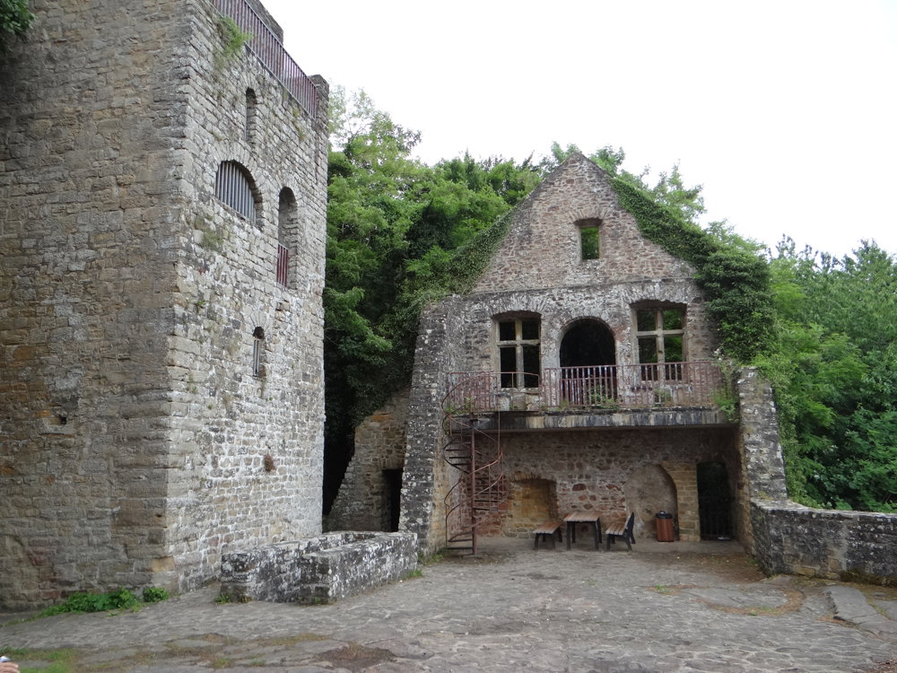
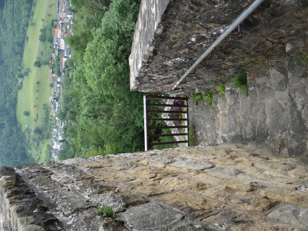
- Definitely the ruins of Prümerburg, which can be visited freely
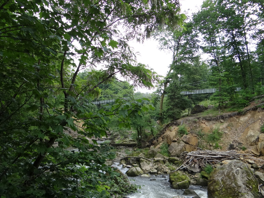
- The Irrel Waterfall with the brand new, impressive suspension bridge (the path over to the river)
- Beautiful views here and there
- And of course the stunning nature
More photos: https://photos.app.goo.gl/3yDoAaRwj4jkVeY76
Happy hiking,
Eddy, Rita, and Prinske
automatic translation


 Upgrade to Premium Plus
