 Hiking
 Login
Login
 More
More
 EN
EN
 Premium
From the Principality of Gavere to the Kaaihoeve
automatic translation
8.7 km • Gavere
3.4108 1 5/5

 Addresse starting point (approximate)
Sportdreef 2, 9890 Gavere, BE
 signage
The route is not signposted. Use a GPS device or our app to follow the route.

 Description
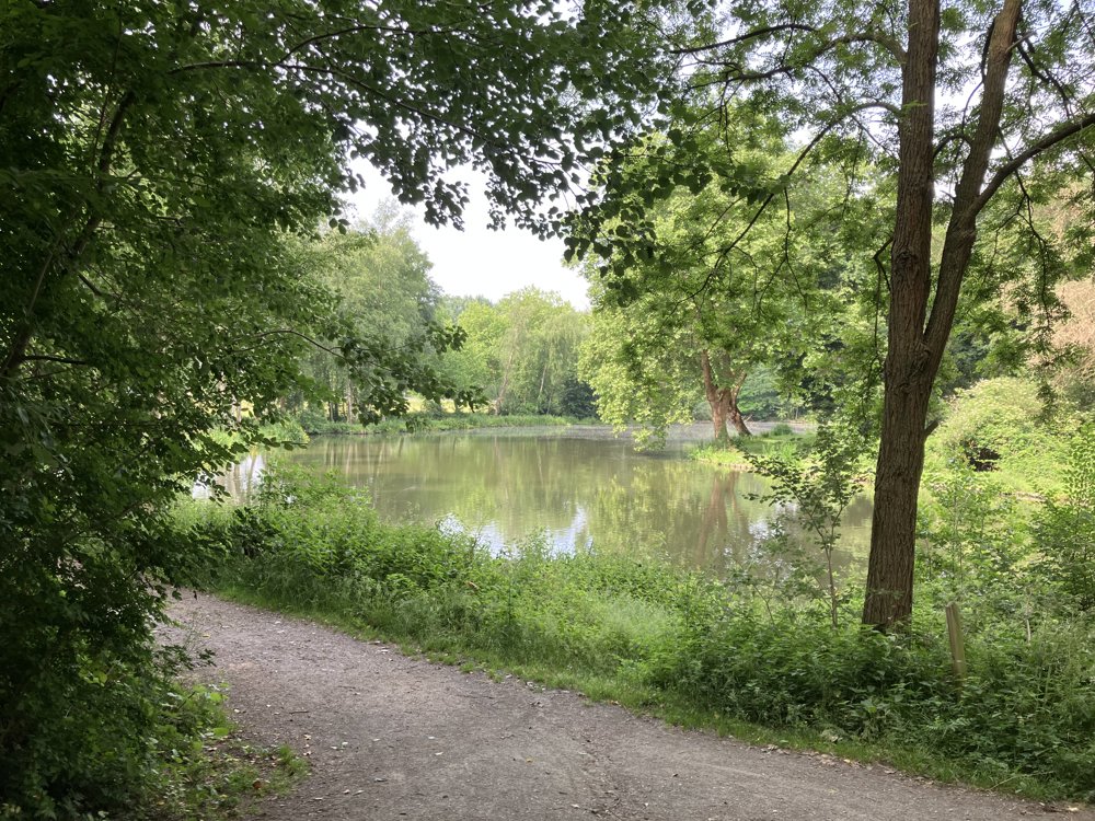
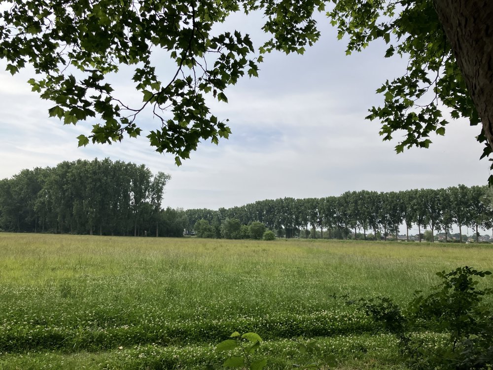
Beautiful and almost flat walk in a beautiful nature reserve along the Scheldt in Gavere and Zwalm.
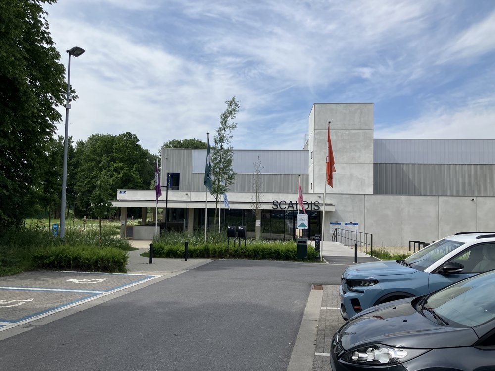
The walk starts at the Scaldis sports hall on the Sportdreef in Gavere, where there is ample parking. From the parking lot, walk right into the Sportdreef. Near a playground, you reach the Hofmeerspad that you continue to follow up to Rotsestraat. At a junction, take the Sint-Christianastraat.
At the brasserie De Rotse, turn right and then take the first paved road on the left (Eikstraat). We follow the Eikstraat to the Oude Scheldestraat (see map), which eventually leads to the Kaaihoeve. Directly opposite the Kaaihoeve, a path leads to the Scheldt (junction 98).
From junction 98, follow the direction of junction 97 until you come back to the Eikstraat. There, turn left (road with tractor barrier) until you see a path on the left that leads again to the Scheldt. From there, along the Scheldt back to the Scaldis sports hall.
automatic translation


 Upgrade to Premium Plus
