 Hiking
 Login
Login
 More
More
 EN
EN
 Premium
Ferschweiler: Fraubillenkreuz
automatic translation
9.9 km • Eifelkreis Bitburg-Prüm
3.2620 0 0/5

 Addresse starting point (approximate)
Ferschweiler, Kindergarten, 54668 Ferschweiler, DE
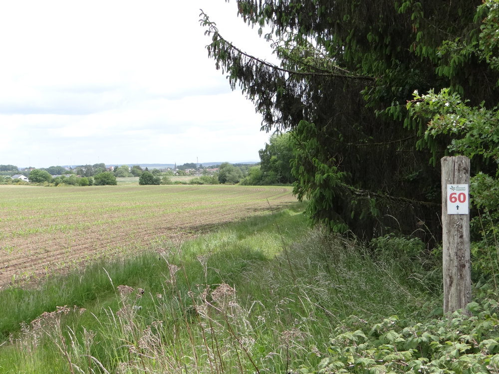
 signage
The route is fully signposted with thematic signs (no nodes).
 Description
We did this easy walk on 26/05/2025 (13,073 steps).
This walk is a delight for those who love nature and tranquility. It runs through the wonderfully fragrant fields and stately forests north of Ferschweiler. The silence is truly audible.
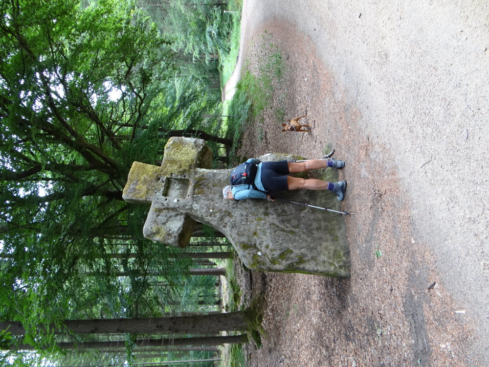
The highlight of the walk is the Fraubillenkreuz. According to legend, this impressive cross was once a menhir, erected in the Stone Age as a cult monument. Saint Willibrord, the founder of the Abbey of Echternach, is said to have personally carved this stone into the shape of a cross around 700. This indicates that people in this region already specially revered this stone in pre-Christian times. In the niches at the front and back, there may have been images of the Mother of God or saints. One of the many legends says that if you place your ear against the cross, you can hear Mrs. Bell's spinning wheel hum. Definitely give it a try!
More photos: https://photos.app.goo.gl/e2rZQgtsSPqjVX2k8
Happy walking,
Eddy, Rita, and Prinske
automatic translation


 Upgrade to Premium Plus
