
 Hiking
 Login
Login
 More
More
 EN
EN
 Premium
Liefkensrodewandeling
5.2 km • Kortenaken
 official route
2.4173 2 4.5/5
route offered by

 Addresse starting point (approximate)
Sint-Amorkerk, Dorpsplein, 3470 Kortenaken
 signage
The route is signposted with thematic signs (no nodes). You can use a GPS device or our app to follow the route through the virtual nodes.
 Description
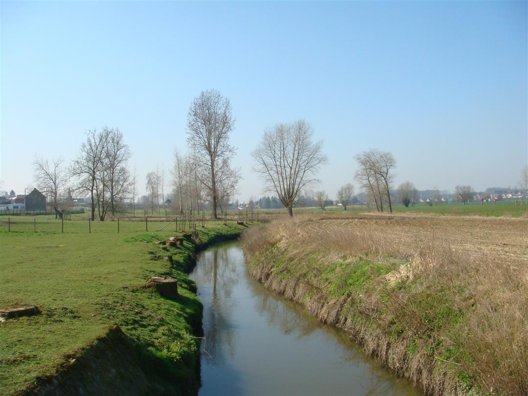
Take a walk through the tranquil countryside of Kortenaken, with the Velpe River as your guide. You’ll stroll past fields, fruit orchards, and square farmhouses until you briefly disappear into the Molenbos under the canopy of tall oak trees. Visit St. Amor Church on the riverbank. A much older Romanesque church made of iron sandstone once stood here. The current church, with its distinctive banded facade, is a protected monument.
Before you set out: This is a walk on a virtual walking network. The junctions are not marked on the ground. Follow the hexagonal red-and-white signs bearing the name of the walk.
automatic translation
 nodes to follow
0 km
0.7 km
1 km
2 km
4.4 km
5.2 km
Sunday, January 11, 2026 by E.W.This became our favorite spot in the neighborhood, with lots of variety and kid-friendly. And we saw deer in the woods.
automatic translation
Sunday, March 12, 2023 by Ingrid BaeyensThis route is now signposted. Attention: after rainy weather the hike can be very muddy. Through the municipality of Kortenaken you can also get a brochure about this hike, with more information about the places of interest.
automatic translation



 Upgrade to Premium Plus


